Trails - Urban and Nature
Local/Regional Urban and Nature Trails: Maps, Plans, and Progress
Maps of local trails, pedestrian and bicycle routes help us find our way to health, wellness, recreation, and transportation thoroughfares in our community.
The purpose of where. Maps are wayfinding tools that provide insight, information, understanding, and direct people to specific places, quickly and easily. Maps serve as a guide that helps people navigate new areas in our region successfully, providing direction from a planned starting point location to a destination.
1. See Our Map with Layers
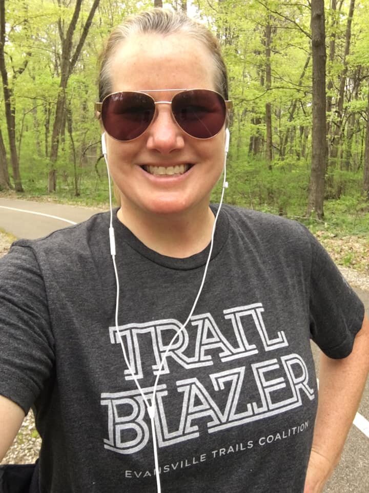
The Evansville Trails Coalition regional map features the 2025 Evansville Region Trails Master Plan completed in April 2025.


2. Local Trails
See our list of local and regional trails!
3. See the Trail Plan
See the Evansville Region Trail Master Plan and the gap segments that will complete our trail system network.
4. see local progress
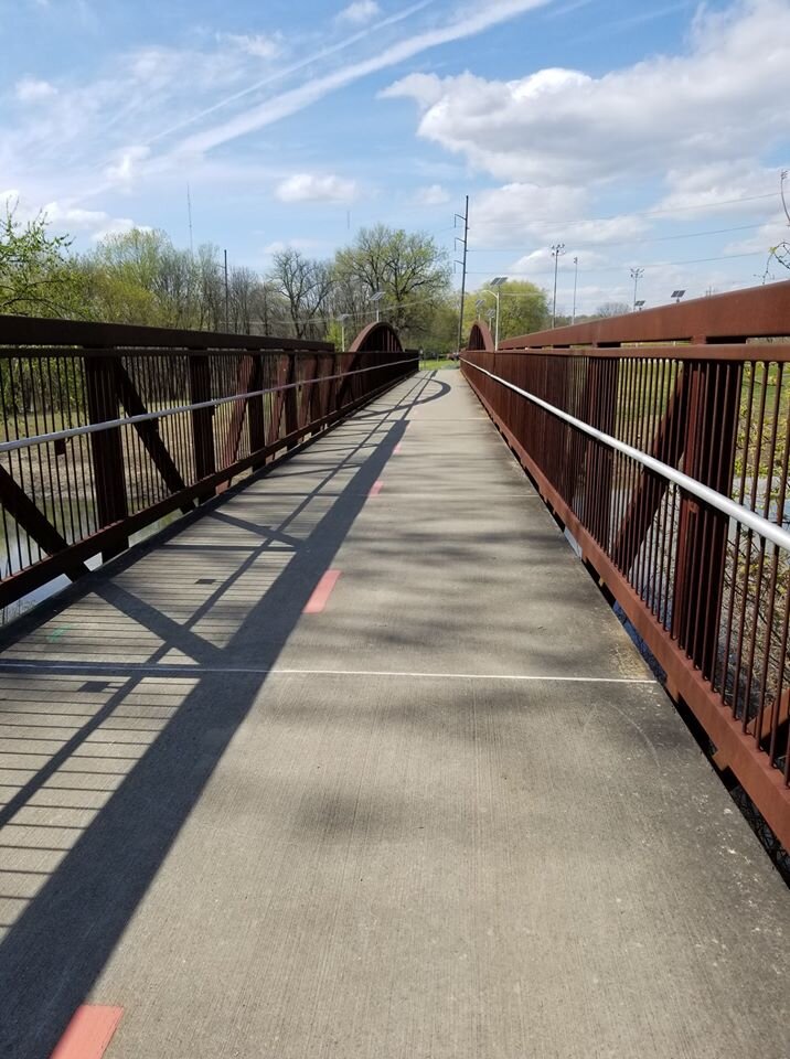
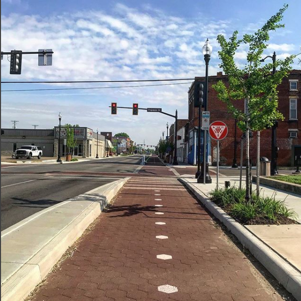
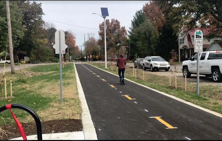
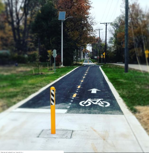
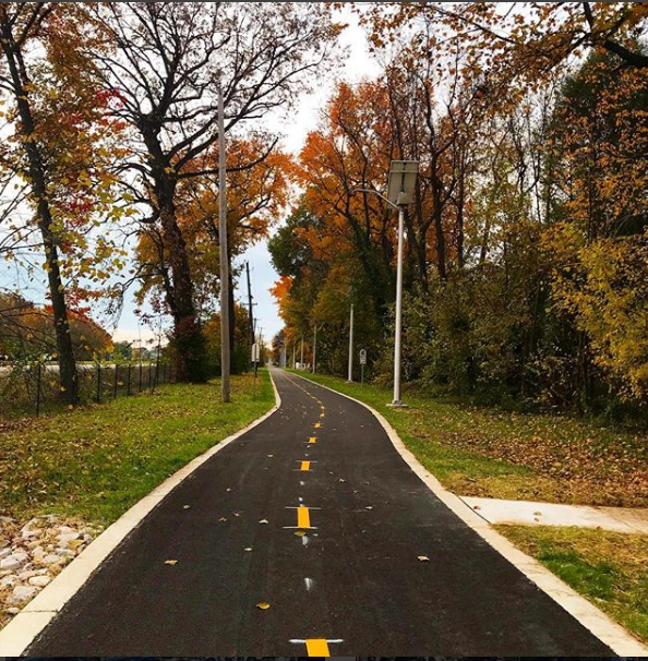
Evansville and Vanderburgh County leaders have worked to bring trails, pedestrian and bicycle routes to the community. See our impressive progress!
5. See the list of our local parks
The Evansville Department of Parks and Recreation has 65 parks to manage in the Evansville and Vanderburgh area. See the extensive list and plan your trip today!
9. See the State of Indiana’s list of trails
The Indiana Department of Recreation has a nice list of trails throughout the state.

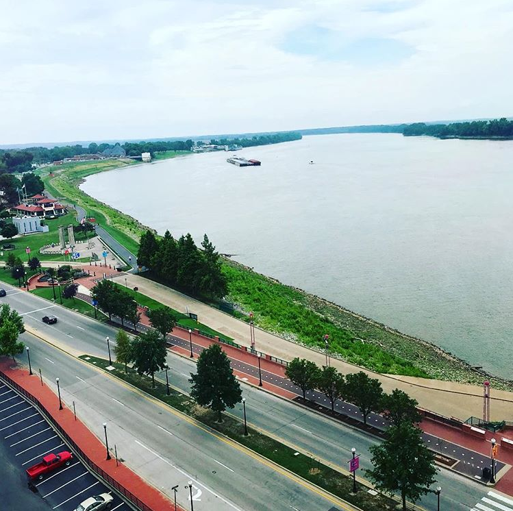
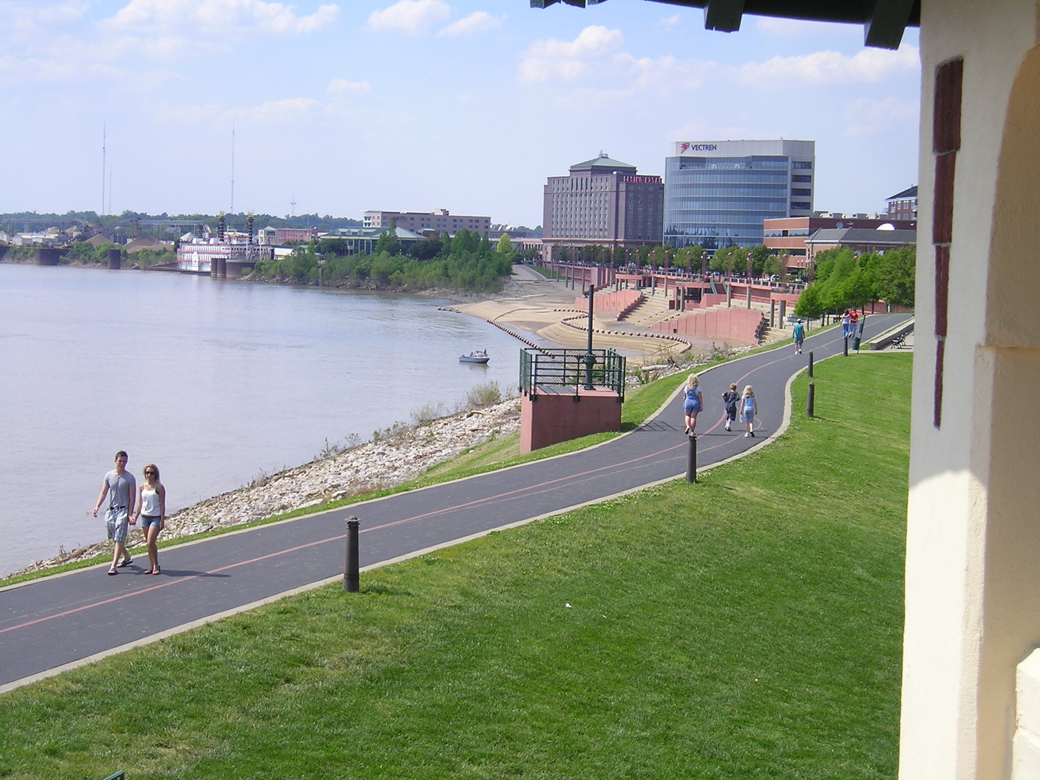
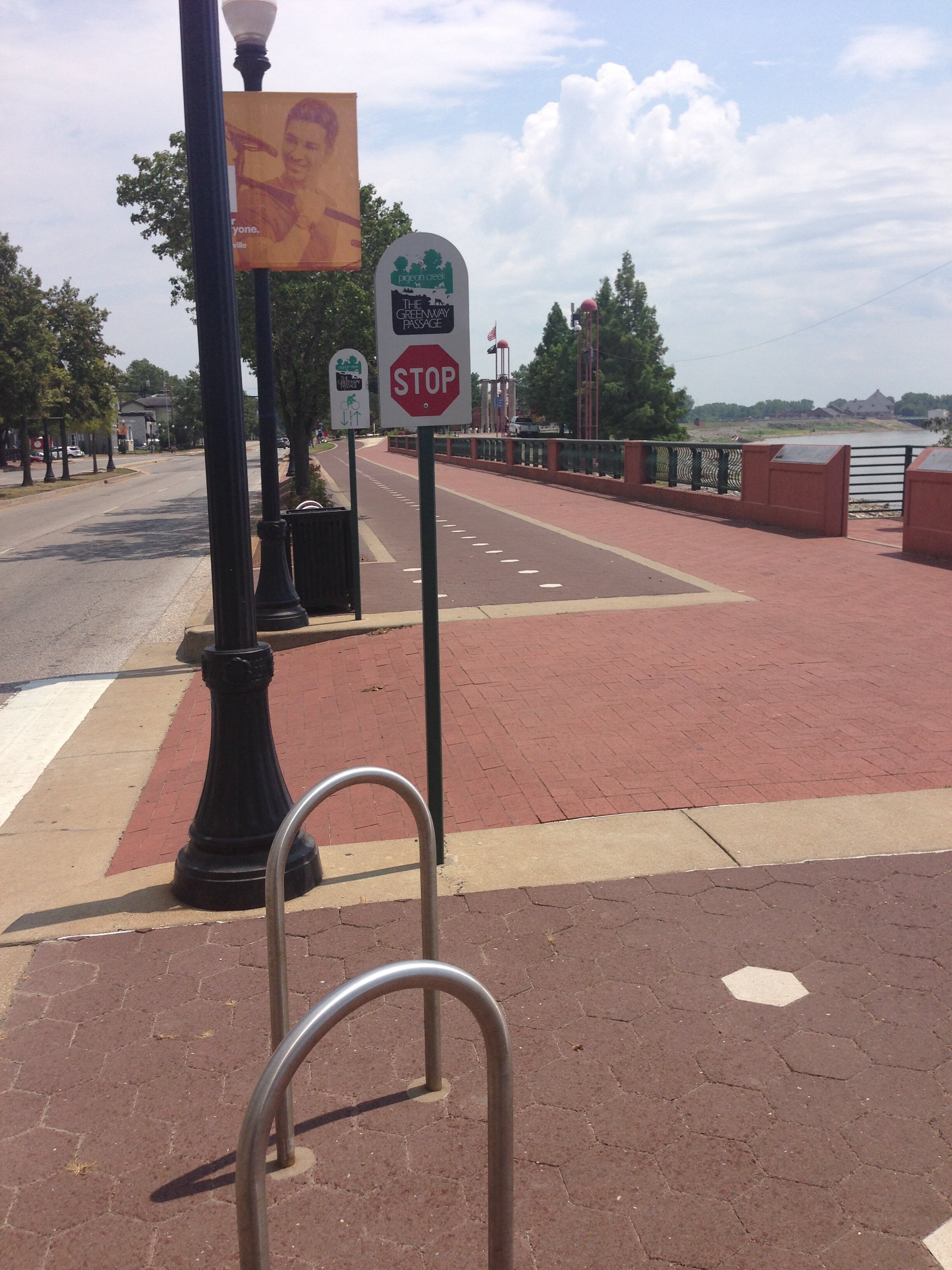
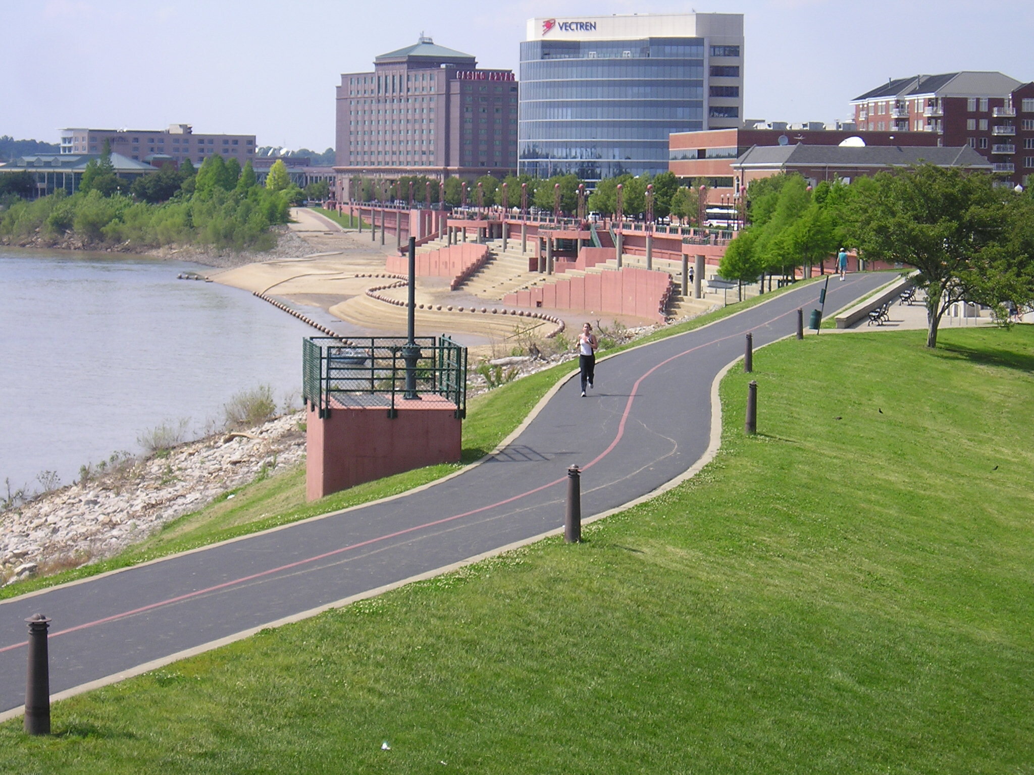
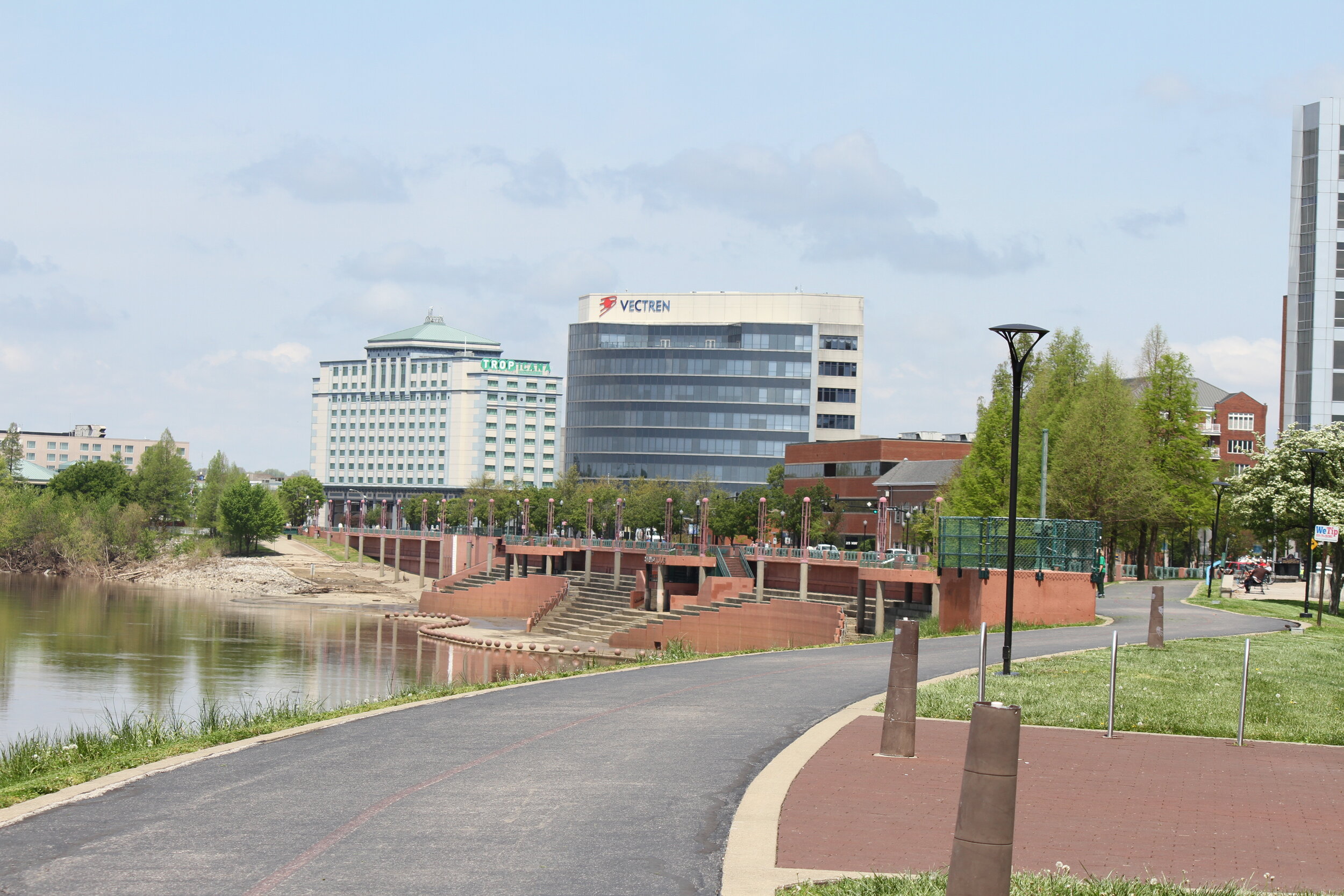
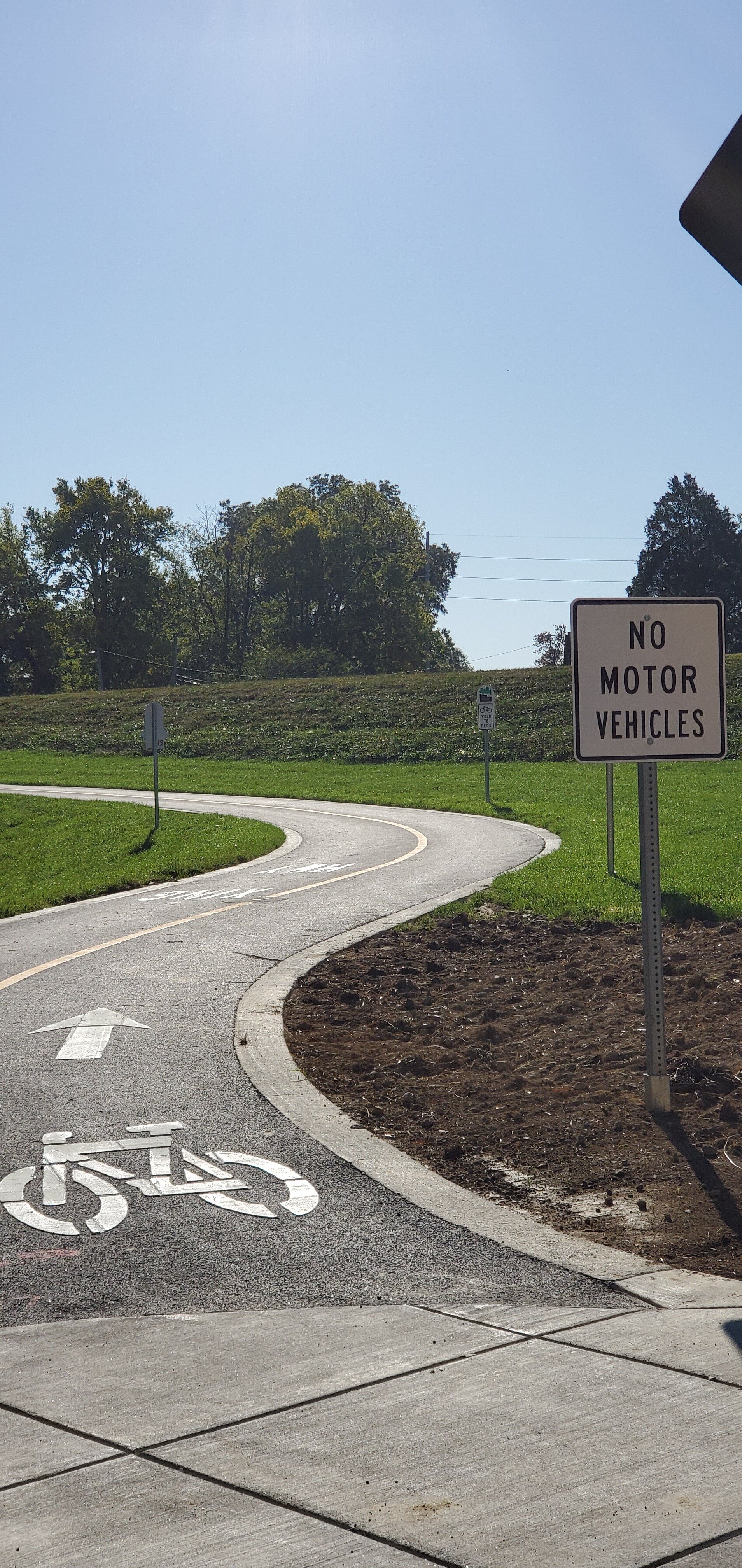
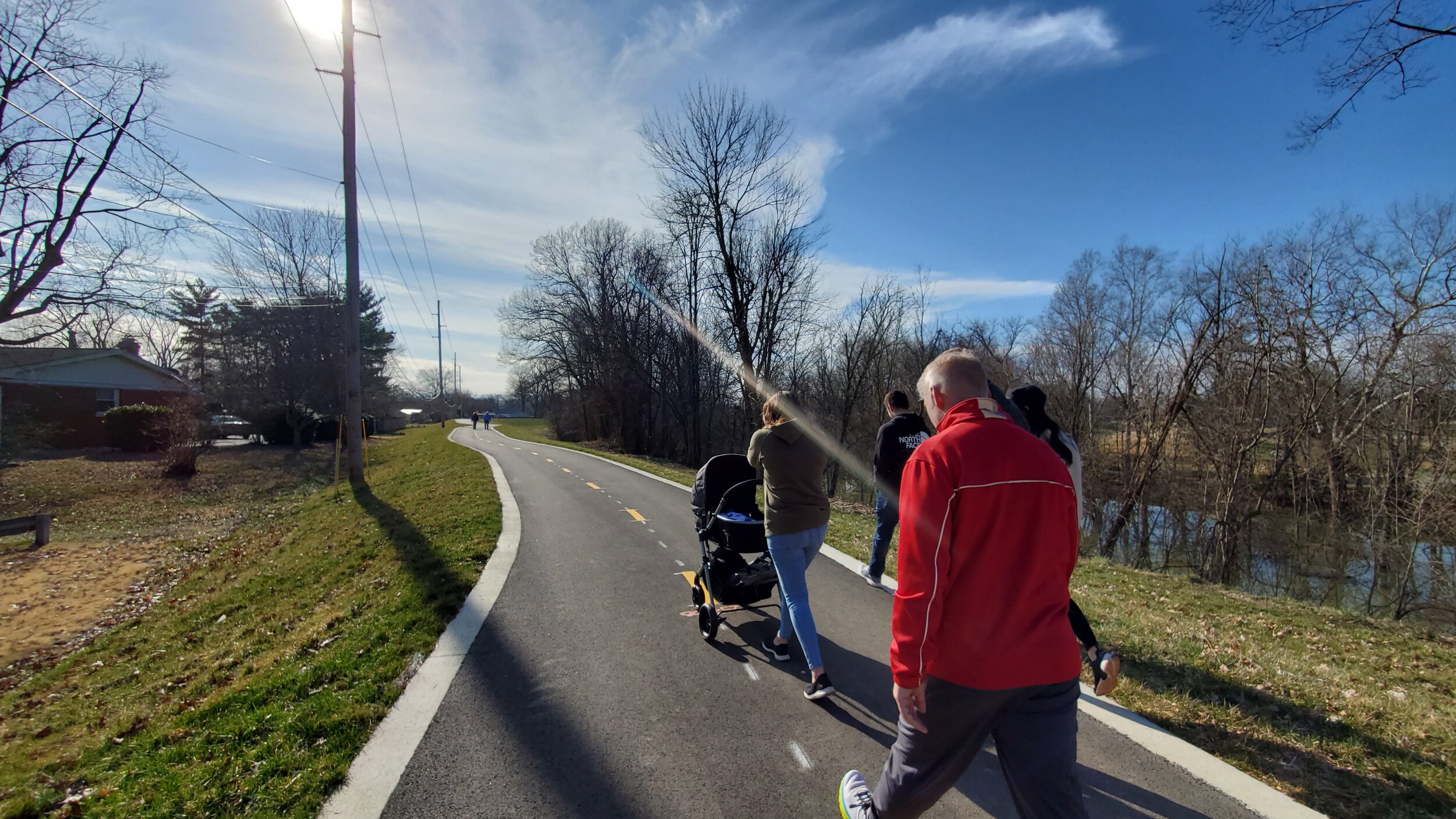
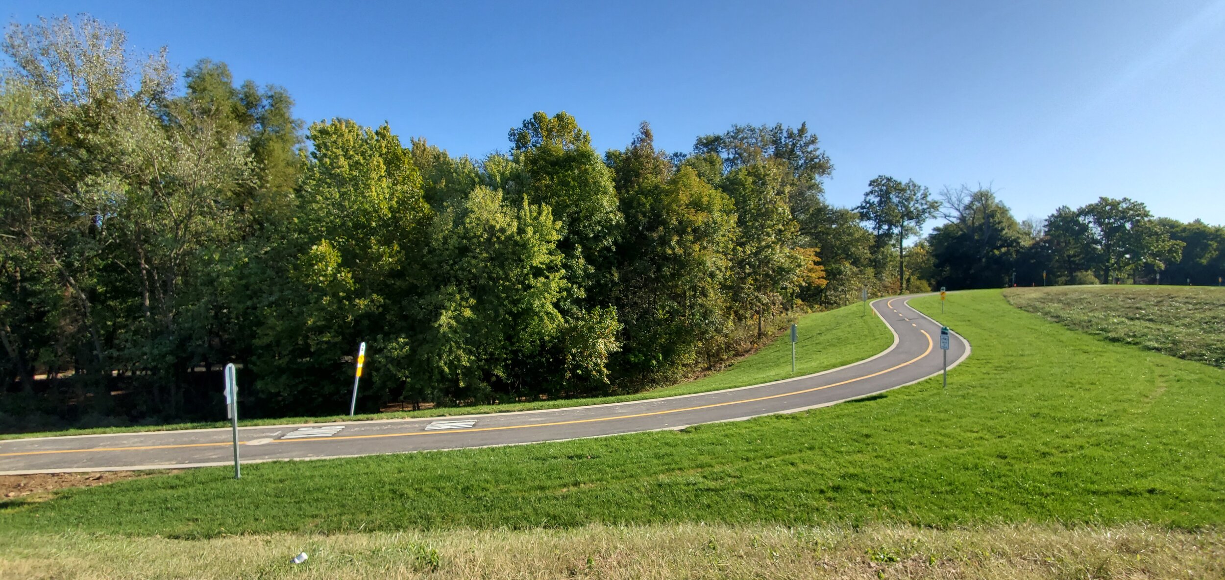
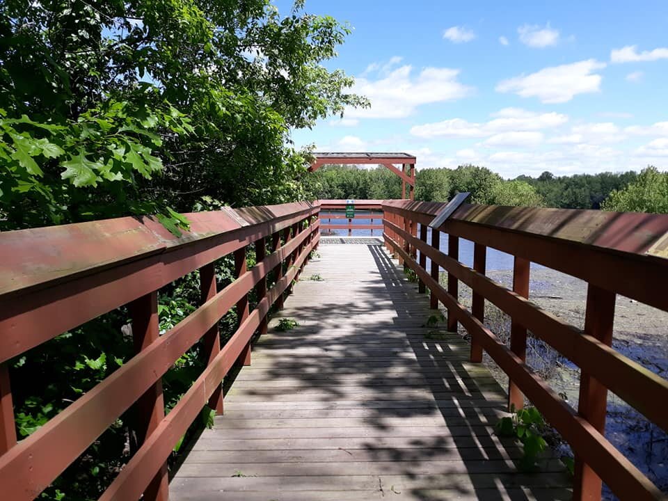
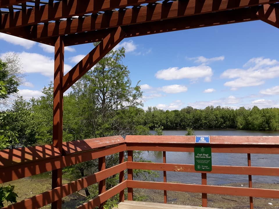
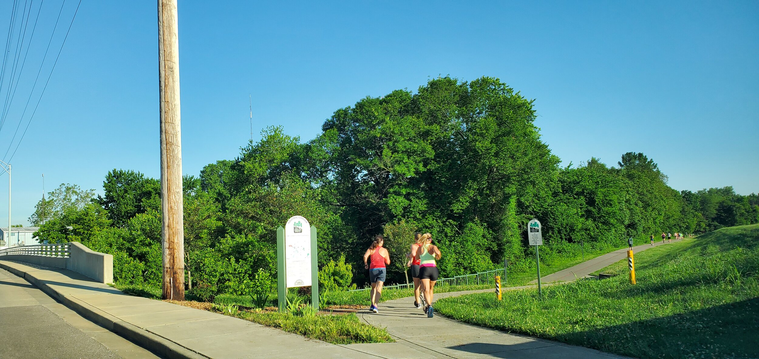
Mid Levee Corridor, Pigeon Creek Greenway