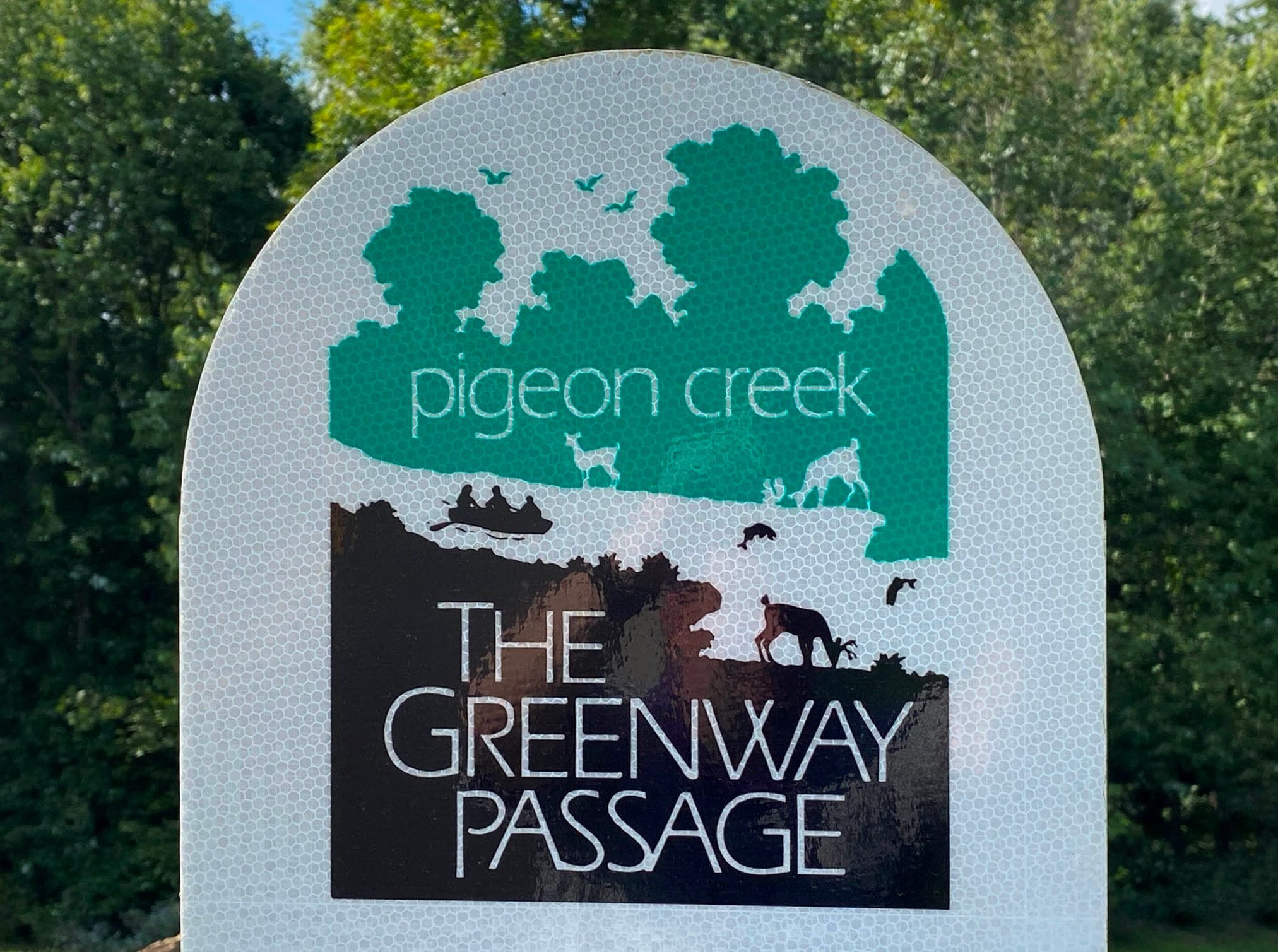
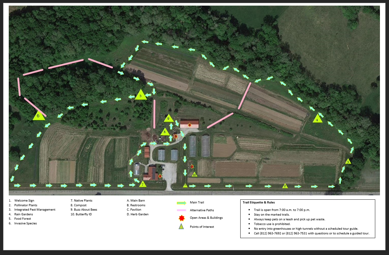
Experience Trails and More

The Pigeon Creek Greenway Passage (Evansville Greenway) is comprised of shared-use multi-use trail corridors and segments.
The EVANSVILLE GREENWAY Is Evansville’s Trails System Network! There are Approximately 7.07 miles of Connected (continuous) Greenway Sections:
1. 2004, 2023 - River front Corridor (now includes sunrise pump station section 2023) - 1.87 miles
2. 2010 - Industrial Corridor - 3.5 miles
3. 2019 - Mid Levee Corridor - 1.7 Miles
4. Downtown to East-side Connection Corridor: 4th Street to Vann Ave. via Walnut Street Trail - 3.28 miles
5. 2018 - Hi-Rail Trail - Riverside Dr. to E. Virginia Street - 2.5 Miles
6. 2026 - Robert’s Park Loop Trail Phase 2 (complete late Spring) - 2.6 Miles
Trail segments and corridors within and throughout the Evansville area are featured in the list of local and regional trails below.
There are over 16.0 Miles of Connected Evansville Greenway and Individual Multi-Use Trail Sections in Vanderburgh County!
See the University of Southern Indiana, Center for Applied Research, Pigeon Creek Greenway Usage Study from December 2016. Download the 2016 usage report HERE.
Sections and Landmarks of the Evansville Greenway (including Vanderburgh County) Include: Within City limits, the Riverfront Corridor (within the Riverfront Corridor: the Marchand Bridge Overlook and Shirley James Gateway Plaza), Industrial Corridor, Mid Levee Corridor, North Main Street Multi-use Trail, Virginia Street Multi-use Trail, Oak Hill Multi-Use Trail and Bike Route, Vine Street Multi-use Trail, Third Street Multi-use Trail, the Walnut Street Multi-use Trail and the Hi-Rail Trail. Within Vanderburgh County is the North Green River Road Multi-use Trail from Lenape Rd. to Heckel Road. Coming soon, the new addition of the Indiana Department of Natural Resources, Next Level Trails Grant project, the Robert’s Park Loop Trail will add over two additional miles of multi-use trail connecting Wesselman Park and Wesselman Woods Nature Preserve to downtown Greenway at the Riverfront.
In addition to our Evansville Greenway, there are approximately 34.6 miles of bicycle lanes and sharrows (streets that share the road with bicycles) in Evansville and Vanderburgh County. Dedicated bicycle lanes in the City of Evansville are approximately 11.3 miles with 2 miles located within Vanderburgh County.
1. Riverfront Corridor Addition, Cascade & Sunrise Pump Station - May 2023 - .37 miles (Approximate)

As part of the Evansville Water & Sewer Utility East Water Treatment Plant Expansion, this beautiful addition to our Evansville Pigeon Creek Greenway extends the Riverfront trail south from Mickey’s Kingdom beyond the Sunrise Pump Station (1200 Waterworks Rd, Evansville, IN 47713) and is approximately .37 miles in length. Features along the trail include the always busy Sunset Skate Park and the beautiful Cascade. Stop to enjoy the views, swing in the chairs and take advantage of the wonderful selfie opportunities!
2. Riverfront Corridor, 2004 - 1.5 miles

The Riverfront Corridor is located along Evansville's downtown from Sunrise Park to Ohio Street. Completed in 2004, the 1.5 mile trail runs along many landmarks and attractions such as Mickey’s Kingdom Park, the Evansville Museum of Art, History, and Science and the Transportation Center, the Evansville Pagoda, the Four Freedoms Monument, Dress Plaza, and the USS LST 325 docked naval vessel from World War II, Museum and Visitors Center. Trailheads are located at Sunrise & Sunset Parks, and the Evansville Museum with parking available during operating hours.


Yoga on the Marchand Bridge
Marchand Bridge Overlook, 2009
Enjoy the Marchand Bridge Overlook as you make your way along the trail. The bridge is located at the mouth of Pigeon Creek on the Ohio River. This 1891 Pratt Truss Bridge was dedicated on October 21, 2009, as a Greenway amenity. The former Ohio Street Bridge was funded from Riverboat funds and from a Transportation Enhancement Grant from INDOT. The bridge is linked to the Industrial Corridor segment across Ohio Street.
Shirley James Gateway Plaza, 2010
The Shirley James Gateway Plaza opened April 17, 2010, and is a tribute to Mrs. Shirley James for her dedication and service for the Pigeon Creek Greenway Passage. Designed by VPS Architects and RhodesWork, Ltd. the Plaza shows the different impacts transportation has made on Evansville's progress. The Gateway Plaza is located along the Pigeon Creek Greenway Passage south of the Lloyd Expressway at the Mead Johnson Trailhead, 1501 W. John Street. The structures depict six different forms of transportation. The Greenway Historic Committee researched and wrote the text for the history panels telling how transportation made Evansville into a commercial center.

3. Industrial Corridor, 2010 - 3.5 miles

Photo by Elizabeth Correll
The Industrial Corridor opened on October 18, 2010, and is a 3.5-mile section between the Riverfront Corridor and the Middle Levee Corridor. The Industrial Corridor is located on the Pigeon Creek Levee starting at Fulton Avenue and Riverside Drive, along Fulton Avenue to John Street, and then west to the Mead Johnson Trailhead. The trail then follows the levee along Pigeon Creek to the Uhlhorn Trailhead. Mayor Lloyd Winnecke hosted a Ribbon Cutting Ceremony on Wednesday, Dec. 12, 2012, at the corner of Grove and Louisiana streets. The ceremony officially marked the completion of the 3.5 miles of the Industrial Corridor linking the Riverfront Corridor with the Mid Levee Corridor from Sunrise Park to the Heidelbach Canoe Launch for a total of 6.75 miles.
4. Mid Levee Corridor, 2019 - 1.7 miles

The Mid Levee Corridor opened October 23, 2019 and is the very first trail constructed by the City of Evansville. This new section is approximately 0.4 miles (0.64 km) in length. The trail starts at the Heidelbach Canoe Launch and follows the Pigeon Creek Levee for 1.7 miles. Parking is available at the Heidelbach Canoe Launch, Garvin Park Trailhead and at the Animal Control Center (limited spaces available) near the Uhlhorn Trailhead. The segment continues to Stringtown Rd.
5. High-Rail Trail, 2018 - 2.5 Miles

Hi Rail Trail November 2018
This trail opened in November 9, 2018 and is currently one of the newest completed trail segments in Evansville. It is a 2.5 mile stretch of trail that runs along the west side of Highway 41, begins at Riverside Dr. and ends on Walnut Street, connecting to the Oakhill multi-use trail that begins at Walnut Street (East of Highway 41) and ends at East Virginia Street (.75 miles), for the total of 2.5 miles (see information below). The Hi-Rail’s name stems from its historical use as a railway within the Indiana Hi-Rail Corporation and was a railroad that operated lines here in Indiana, as well as in Illinois and Ohio. It ceased operations in 1997. The railroad was known for its extensive use of locomotives built by the American Locomotive Company.

Walnut Street to E. Virginia Street Bike Lanes
MULTI-USE TRAIL to OAK HILL BIKE ROUTE - .75 miles The Hi-Rail is connected to the continuation of multi-use trail that begins at Walnut Street and ends at E. Virginia Street, connecting to the Oak Hill Road bicycle route. This dedicated, safe, multi-use trail has a beautiful bicycle and pedestrian bridge, accommodating pedestrians, runners and cyclists access to Virginia Street via the bridge, which overpasses the Lloyd Expressway. This trail segment and bicycle/pedestrian bridge was was part of the Indiana Department of INDOT Lloyd Express and Highway 41 Interchange project that was completed in 2015. Click here to see: the INDOT Interchange project layout
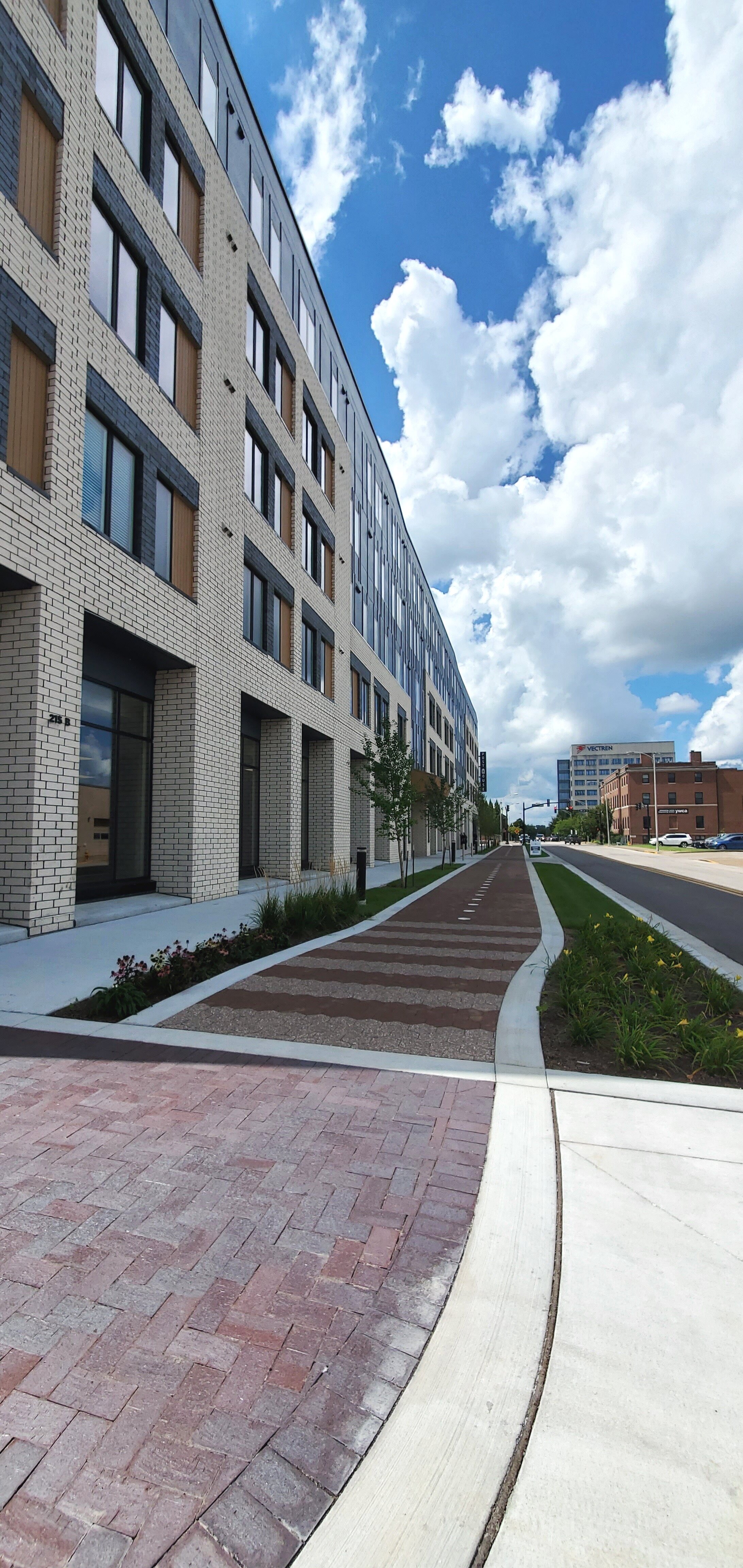
6. 4th Street to Vann Avenue: Bob Jones Way/walnut Street Improvement Project, Segments, 2018 to 2025 - 3.28 Miles (Approximate)

Bob Jones Way/Walnut Street Multi-Use Trail

ou may see additional information HERE.The Walnut Street Improvement project section at Bob Jones Way ribbon cutting was held August 10, 2018 and is adjacent to the Stone Family Center for Health Sciences building and continues to Martin Luther King, Jr. Blvd, onward toward Vann Avenue. The Walnut Street multiuse trail from US 41 to Weinbach Avenue section was completed in 2022. The final phase from Highway 41 to Martin Luther King, Jr. Blvd. was completed in the fall of 2025. This vital center-city connection brings connection from the Riverfront Greenway to Vann Avenue. New in 2026 will be the Indiana Next Level Trail grant program(a DNR program as an initiative of Indiana Governor, Eric Holcomb, 2017-2025, Robert’s Park Loop Trail in 2026, adding a 2.2+ miles to the trail count from Wesselman Park to Vann Avenue.
7. Vine Street Trail, 2020 - .7 Mile (Approximate)
View is facing Second Street from corner of Vine and Third Street.
The Vine Street multi-use trail segment was completed in 2020 with the Post House construction. It begins at Second Street and ends at Third Street. It is a beautiful addition to our multi-use trail segment in downtown Evansville, adding to our trails system network of trails in our community.
8. Third Street Trail, June 2024 - .05 Mile (Approximate

As part of the Trinity Stormwater Park improvements, this new trail segment—approximately 0.5 miles long, runs adjacent to the existing Vine Street Trail. Its addition brings us one step closer to connecting key sections of our downtown walking trail network. The park itself features underground stormwater tanks designed to collect and gradually release water into the ground, easing pressure on the City’s stormwater system while enhancing both infrastructure and community access to green space.
8. North Main Street Trail, 2018 - 1 Mile (Approximate)

Corner of North Main and Franklin Streets.
The North Main Street multi-use trail begins at Division Street and ends at Garvin Park and is a little over 1 mile of multi-use trail with a dedicated bike path and was complete in 2018. Mayor Lloyd Winnecke cut the ribbon officially opening the trail on June 3, 2018, at the intersection of North Main St and Division.
9. Virginia Street Multi-use Trail, 2018 - .6 miles (Approximate)

Virginia Street Multi-use trail near Deaconess Midtown Campus.
The Virginia Street multi-use trail is a .6/mile connecting segment that runs from First Avenue to North Main Street. This trail was part of the North Main Street trail project and was open for use in early 2018.
10. North Green River Road Multi-Use Trail, 2021 - 2.3 miles (Approximate)

Coming soon! The Vanderburgh County Board of Commissioners announced on March 4, 2021, that Vanderburgh County has been awarded $771,150 for the Green River Road Trail Project by the Indiana Department of Natural Resources Next Level Trails Program. The trail will add 2.3 miles of asphalt trail along Green River Road from Lenape Lane to Millersburg Road. The project will include widening bridges at Firlick and Pigeon Creeks to accommodate the trail. The trail will connect Green River Road Canoe Launch, Goebel Soccer Complex, and Deaconess Sports Park.
11. Robert’s Park Loop Trail - Coming Soon in 2026 - 2.2+ miles (Approximate)
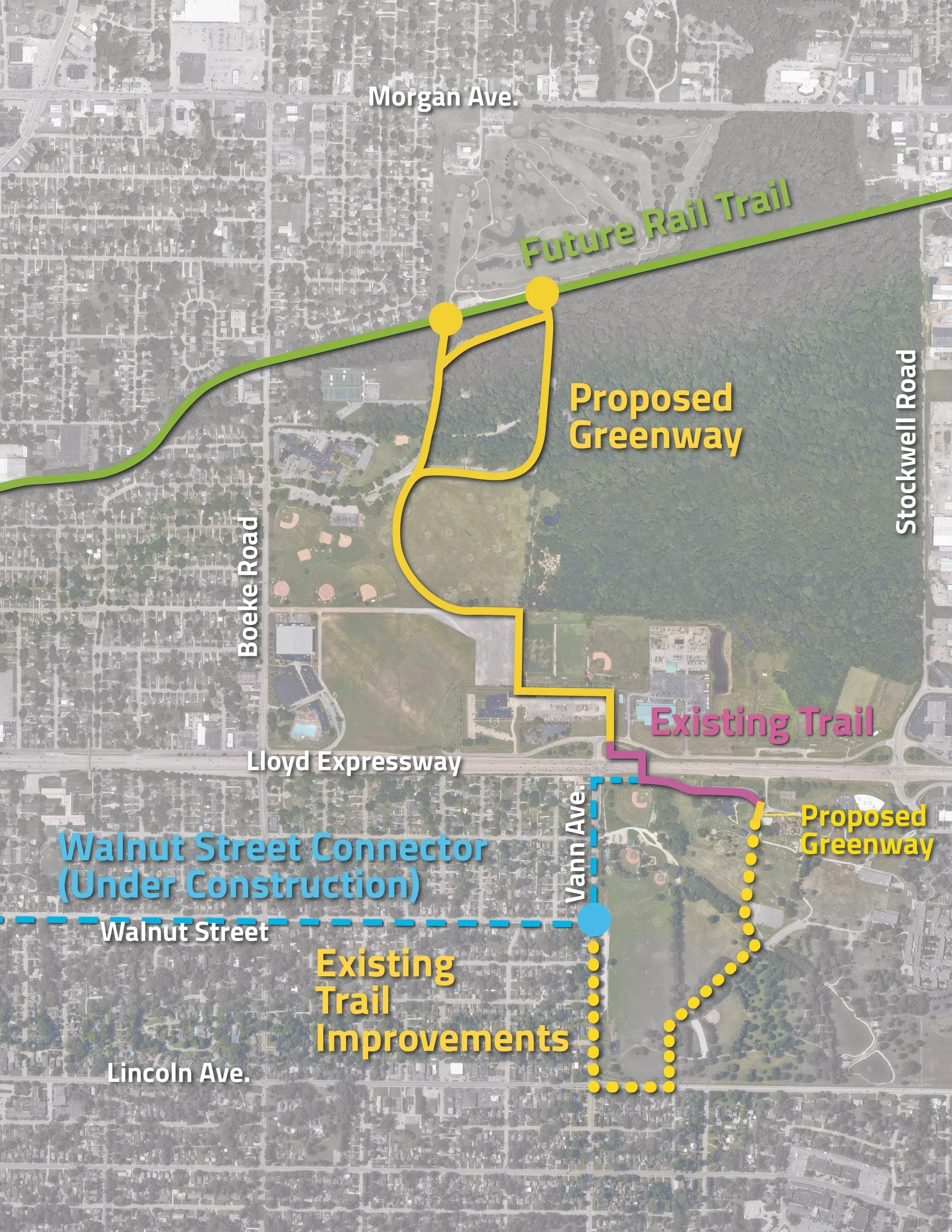
The DNR, Next Level Trail (NLT) Grant for the Robert’s Park Loop Trail, Phase 2 is moving toward the finish line as we prepare for full trail completion this spring. This final push focuses on bridging the remaining gaps to create a seamless, Evansville’s East side to our Downtown Riverfront connections!
By finalizing the critical connections from Wesselman Park to the Walnut Street Trail and extending through to the Evansville Greenway at the Riverfront, we are successfully unifying segments of our regional trail system. These final NLT Project sections of the trail are designed to enhance safety, accessibility, and overall enjoyment for every user. The new, smooth paths feature safer crossings and inclusive design elements, ensuring that people of all ages and abilities can walk, ride, wheel, and roll with confidence.
Every step forward reflects our vision of a vibrant, active, and connected Evansville. Phase 2 is not just about building the trail, but about building community, strengthening recreation and mobility, and creating a healthier future for everyone. We are thrilled to see this progress come to life and look forward to celebrating the day the full trail is officially complete this spring!
Additional Local Trails Featuring Maps
1. Evansville Trails Coalition - tRAILS Map

The Evansville Trails Coalition regional map features Evansville area trails and is currently being updated to include I69 and other recent completed projects. This map will be updated to include several new trail segments. View The Evansville Trails Coalition regional map here.
3. wabash & Erie Canal Trail at Wesselman Park - .25 Mile
“The Wabash & Erie Canal Trail route offers visitors a unique opportunity to experience both natural scenery and local history. It is a well used path for walking and light hiking, with educational and interpretive value tied to Evansville’s canal-era development” ~ Tim Tanguay Click to see additional information here.
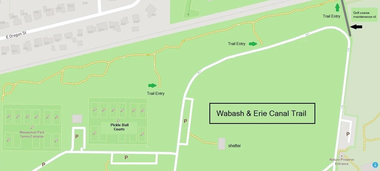
Location: Wesselman Park, Evansville, IN, Length: Approximately [.25 mile], Surface type: Natural / packed dirt trail, Uses: Walking, hiking, nature observation, history, Notable features: Historic canal alignment, diverse wooded area, proximity to Wesselman Woods Nature Preserve, interpretive and historical significance. Original Spoil Banks - These are raised ridges beside the Wabash and Erie Canal, called spoil banks, were made from earth dug during construction. But they were more than just piles of dirt—they played an important role in protecting the canal. Engineers left intentional gaps, or “cuts,” in these banks to control water. Without them, rain and runoff would collect against the canal, creating pressure that could cause the walls to collapse. These openings allowed water to safely drain away, helping prevent washouts that could stop canal traffic. Some cuts also connected to culverts or small channels that directed excess water under or into the canal. Canal workers used these openings to access the banks for repairs and upkeep. The cuts had another benefit: they helped nearby farms. Since the canal often crossed fields and forests, spoil banks could block natural drainage. Landowners relied on these gaps to keep their land from flooding. Together, these features show how canal builders balanced engineering needs with the surrounding landscape. Given its historical importance and accessibility within one of Evansville’s most visited parks, I believe this trail would be a valuable addition to your listings for both residents and visitors. I
4. Evansville African American Heritage Baptisttown Historic Urban Trail - 1.0 Mile (Approximate)

Developed in 2019 from a partnership between the City of Evansville and Ashley Jordan, Executive Director of the Evansville African American Museum, the Evansville African American Heritage Trail, the Baptisttown Walking Tour, explores the story through some of our local individuals, businesses, churches, schools and events that have shaped Baptisittown’s identity and helps us to better understand the fabric of our community. This trail is approximately 1.0 miles in length and is a wonderful way see many of the historical landmarks and buildings as you cultivate a greater awareness of our community’s cultural diversity and story while being active!
Click to download: The Baptisttown Walking Tour Map
3. West Side Urban Trails - 13 Miles

The Westside Improvement Association has mapped out 13 miles of walking Trails from existing infrastructure, including two urban trails and two scenic trails that take you from the Greenway trailhead on Franklin St. to all the best stops on the Westside.
View and download the walking maps here: Reitz Hill, Howell Wetlands, Golfmoor Park, and the Helfrich Park Loop.
4. Howell Wetlands Nature Trails - 2.0 miles

Aerial View of Howell Wetlands Trails
Howell Wetlands has 35 acres of marshland, slough and remnant river oxbow, with 2.0 miles of trails throughout.
Click for additional information regarding Howell Wetlands.
5. IgleHeart Park - Rotary North Woods Nature Trail - Approximate .7 Miles

Rotary Nature Trail at North Woods is a 0.7 mile loop trail within Igleheart Park, located at 6101 North First Avenue, Evansville, Indiana 47710.
The North Woods Nature Trail & Butterfly Garden completed the second phase of the EPF funded improvements to the north side Igleheart Park. This project, the first of its scale for the Foundation, has resulted in much more than the tangible park improvement—it now serves as a “signature” of our organization and its ability to affect change through collaborative relationships with public, private, corporate, and other non-profit groups. The project has since been recognized with two prestigious community awards:
The 2003 Outstanding Community Improvement Award presented by Operation City Beautiful (KEB), and Leadership Evansville’s award for Significant Project Leadership by Neighborhood and Community Organizations.
The purpose of the North Woods project was development of an existing misused 35-acre tract of upland forest (park property) into an educational nature trail. The finished project entails over two miles of woodland hiking paths with 15 educational signs and 50 tree identification markers. The trail is further enhanced by a circular entry deck, a crushed stone “Welcome Walkway,” a valley overlook, a natural classroom, the “Alcoa 51 Step Boardwalk,” and the Toyota Butterfly Garden. What had been ignored and misused is now a family-oriented recreational attraction.
See the full details here: North Woods Trail & Playground
6. Deaconess Sports Park - 1 mile Walking Track

Open in 2015, Deaconess Sports Park is located at 6800 N Green River Rd, Evansville, IN 47725. Deaconess has naming rights to the facility and worked with the Evansville Convention & Visitors Bureau to install a 1-mile walking track that is accessible to the public even when there are no ball games. Six exercise stations are located throughout the walking track to encourage stretching and strength training in addition to walking. See additional information regarding its opening HERE and visit the website to see park rules and details.
7. WalkEvv

An Upgrade is a simple lifestyle change that can have lasting health benefits. Follow the Upgrade signage, get your steps in, and see 27 awesome places of interest in our city. Upgrade is an initiative of the Welborn Baptist Foundation.
View the walking and biking maps from Walk EVV.
8. Burdette Park Discovery Trail “Discovering the River-Bottoms“ - 32.35 Miles

This trail is a key connection to an area of river bottom land, with an additional 32.35 miles of paved roads currently signed for bicycle use south of Burdette Park.
Click to see the Burdette Discovery Trail, Discovering the River-Bottoms Brochure
9. USI Trails and USI to Burdette Park Nature Trail - 3.0 Miles
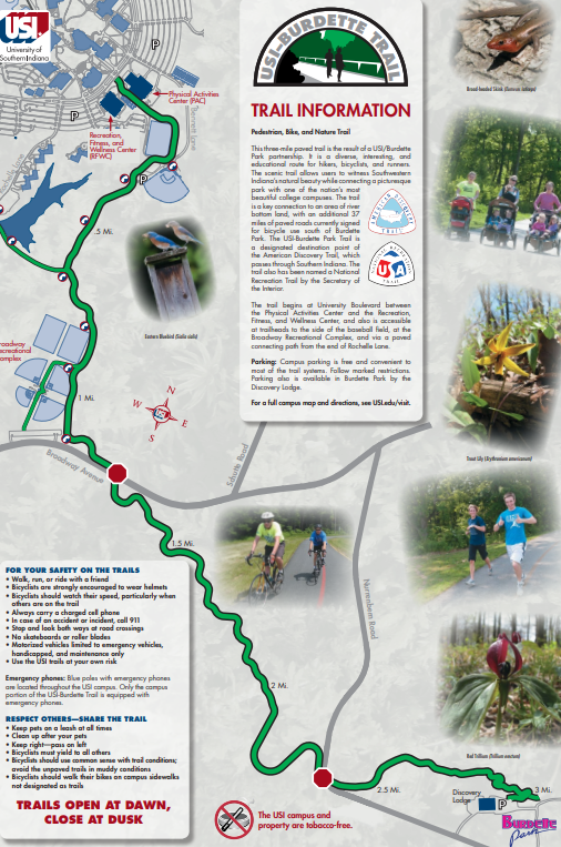
The USI-Burdette Trail is a three-mile paved trail and is the result of a USI/Burdette Park partnership. The trail opened with a ribbon cutting Wednesday, October 10, 2012. The trail is a paved pedestrian, bicycling, and nature trail stretching between Burdette Park and the University of Southern Indiana campus andl allows users to witness Southwestern Indiana’s natural beauty while connecting a picturesque park with one of the nation’s most beautiful college campuses. The USI-Burdette Park Trail is also a designated destination point of the American Discovery Trail, which passes through Southern Indiana. The trail also has been named a National Recreation Trail by the Secretary of the Interior. Click to visit: USI/Burdette Park trails page.
To view and download the trails maps click here: Bent Twig Trail , USI Burdette Trail , South Campus Trail
10. Evansville Bicycle Club Map Routes - 122+ Miles

Need a longer ride? The Evansville Bicycle Club has mapped out several routes with bikely.com ranging from 12 to 122 miles. Check out their routes, see their ride schedules, and connect with a community of Trailblazers.
11. Eagle Slough - 1.2 Miles

Eagle Slough Trail, 1.2 miles
Eagle Slough is owned and managed by the Sycamore Land Trust and was acquired in 2012. Eagle Slough is located at 500 Waterworks Rd., Evansville, IN 47713. Eagle Slough is an oasis of wetland and mature bottomland forest, home to over 160 species of birds (including warblers at Eagle Slough). The preserve offers a walking trail with interpretive signage along an old rail bed, and a series of observation decks overlooking the wetlands and open water lake. The healthy bald cypress stands at Eagle Slough contains some of the largest bald cypress trees in the state. DIRECTIONS: **Due to construction on US 41, Eagle Slough is currently only accessible from Waterworks Rd.
From Evansville, take Weinbach Ave. south to Waterworks Rd., then proceed west for ¾ of a mile. The Eagle Slough parking area will be on the right.**
From the intersection of US Hwy 41 and Waterworks Rd/Shawnee Dr, drive east on Waterworks.
The parking lot will be on your left after 0.15 miles.
Visit the Eagle Slough Website for additional detailed information: HERE
12. Evansville In Motion Walking and Running Maps

The Evansville In Motion booklet was developed after three nurses from the Vanderburgh County Health Department, Carol Anderson, Sherry Hurt and Louise Kiesler, attended a chronic disease conference.
Visit their webpage HERE. To view the brochure and maps, click this link: Evansville in Motion
13. Scott Park Hiking Nature Trails
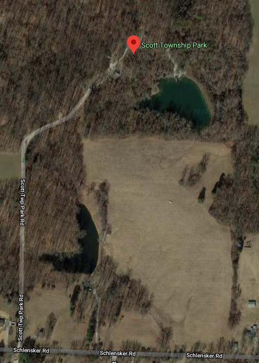
Scott Township Park is located at 2112 Schlensker Rd, Evansville, IN 47725, in Vanderburgh County, IN, north of Evansville. In 2003, Scott Township built this park to help bring a place for outdoor exercise and recreation. Scott Park is 37 acres and contains 5 walking trails through the wooded land.
Visit additional Scott Park details at Waymarking.com: ScottParkHiking
14. St. Paul’s Nature Preserve - 1 mile

*St. Paul’s Nature Preserve (1 mile) is located on the far northwest side of Evansville and is a beautiful wooded nature trail within St. Paul's Church and Cemetary. On your hike, you will find trail markers and wooden bridges, and all the sounds of nature. Bring your binoculars to enjoy the many birds within the trees.
The trails were conceived and developed through
A tornado damaged St. Paul's woods on June 8, 1974. Being faced with damage to the woods, the church members voted to develop the woods into a nature preserve in January 1975. With the aid of the district forester from Petersburg, Michael Coggeshall, trees were identified and plans were made for the trails. On April 11th, 1976, a dedication ceremony was held for the St. Pauls's Nature Preserve and the first trail was called the John Lehmann Memorial Trail after the pastor’s son died in 1975. The Sumac Trail is the second trail dedicated on April 3rd, 1977—named after the large number of sumac trees in the area.
Visit the trail at: 8701 Big Cynthiana Rd, Evansville, IN 47720

Trail Rules:
Pets are allowed only on a leash
Bikes and other vehicles prohibited
Smoking and fires prohibited
No littering or Hunting
Stay on trails
*Southern Indiana Trails.freehostia.com
15. Wesselman woods Nature Preserve Trails - 3.16 Miles
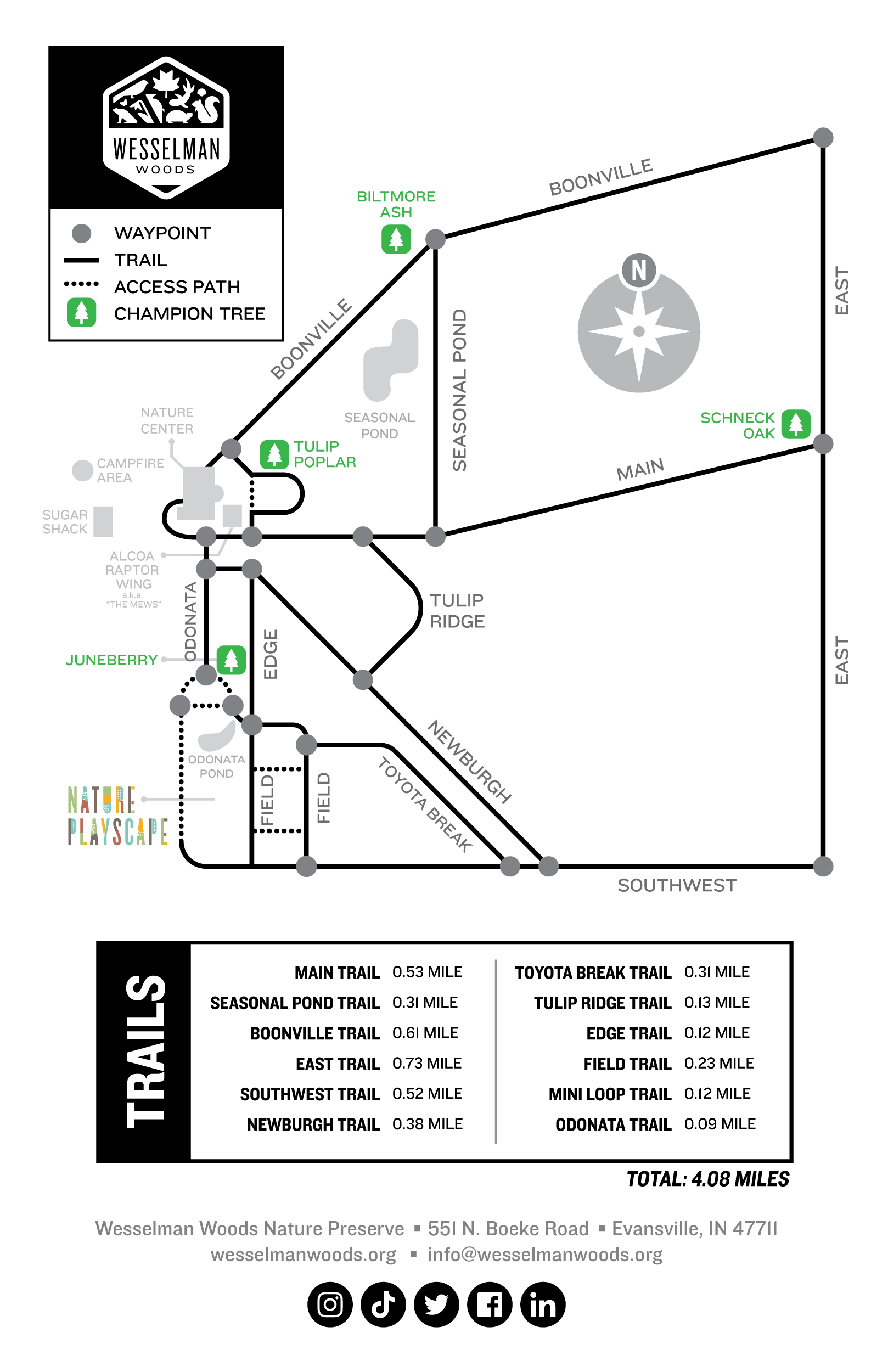
Wesselman Woods Nature Preserve is an Indiana State Nature Preserve and National Natural Landmark. This old-growth lowland forest is a crucial habitat for a wide variety of animal species, including mammals, reptiles, amphibians and birds. A Nature Center on the western edge of the property offers hands on educational exhibits and a wildlife observation area. On-site programs are offered to school, civic and scout groups throughout the year. No other city in the United States with a population exceeding 100,000 has within its corporate limits, a timber stand of such acreage and sylvan qualities.
Trail Distances in Miles: Main Trail .058; Seasonal Pond Trail .04; Boonville Trail .03; Wabash Erie Trail: .027; East Trail .72; SW Trail .76; Newburgh Trail .43; Toyota Break Trail .33; Tulip Ridge Trail .16; Field Trails .32; Mini Loop Trail .11; Trail to Odonata Pond .18
16. Friends of Angel Mounds Hiking and Biking Nature Trails - 13+ Miles

Woodland Trails: Beyond the archaeological site are walking and biking trails through the wooded section of Angel Mounds’ property. Maintained mostly by volunteers, these trails are free and accessible anytime from one of three parking locations. Vehicles using the Angel Mounds parking lot must be out by 5:00 P.M. Central Time (Dogs must be on a leash). Click HERE to see the map.
Muskhogen Trail: This trail is maintained by the Muskhogen Trail Committee, Boy Scout Troop 301, Methodist Temple. It is a time-honored tradition for scouts to make the six-mile, one-pass hike, or double-back for a 10-mile hike. From the Muskhogen Trail website: The trail was 13 miles long until the construction of a coal-loading dock closed part of the loop and shortened the trail to 10 miles. The construction of the I-164 Bypass ended the availability of most of the eastern section of the levee. Since 1988 the trail has been within the grounds of Angel Mounds State Historic Site.
The current Muskhogen Trail includes a hike within the Indian village area and a trail through the adjoining woods, The total is about 6 miles long. Scouts BSA members who want a 10 mile hike may hike the full trail and then repeat the section in the woods. As the Greenway Passage (the hiking and bicycling path being built around Evansville) is extended from Evansville's riverfront toward Newburgh, hopefully, the Muskhogen Trail can be reestablished as part of the Greenway between the riverfront and Angel Mounds.
See the trails at Trailforks: HERE
Click HERE to view or download the brochure.
17. Blue grass Fish and Wildlife
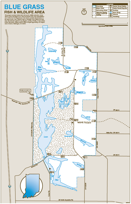
Hiking, kayaking, fishing and more! Blue Grass Fish & Wildlife Area is a unique natural resource area because all of the land has been stripmined. Blue Grass covers approximately 2,532 acres and features about 28 pits and lakes (600 acres of water). Blue Grass is dedicated to providing and maintaining quality fishing and wildlife watching opportunities. The area is named after Blue Grass Creek, which lies just east of the property. Amax Coal Company began mining operations in October 1973, and ceased operations in 1993. Re-vegetation was carried out using herbaceous cover and woody species planted in clumps and strips. This is a unique area, one that offers outdoor enthusiasts an array of opportunity. Most revenues used in land acquisition, development, operation and maintenance of Blue Grass Fish and Wildlife Area are derived from the sale of hunting, fishing and trapping licenses. Funds are also received from the federal Pittman-Robertson and Dingell-Johnson programs to aid fish and wildlife restoration. These funds are derived from taxes levied on sport hunting, shooting, and fishing equipment. Indiana hunters and fishermen are proud to provide this property for the enjoyment of all people.
The Blue Grass Fish and Wildlife is managed by the Sugar Ridge Fish & Wildlife Area 812-789-2724, Office Hours: M-F, 7:30 a.m. - 2 p.m. ET
Download the Map: HERE
18. Seaton Harvest Trail - Approximately .76 miles
Seton Harvest’s “Our Common Home” Trail is a .75-mile walking trail that allows visitors to learn more about the environmental factor involved in farming and consider their individual role in care for our common home. The trail is open Monday-Friday 8:00 a.m.-3:00 p.m. and Saturday 8:00-11:00 a.m.
The trail is free to everyone, but donations are accepted.
19. SCALES LAKE LOOP - 2.5 Miles
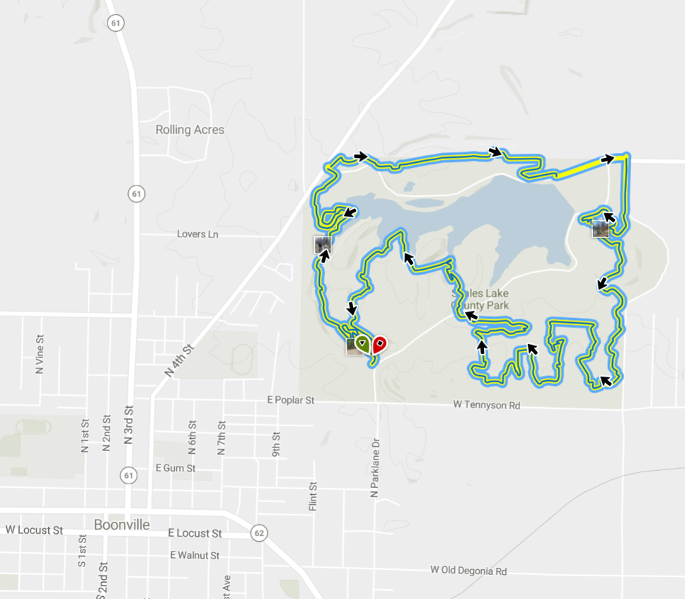
The skills area and trails make the park a great family destination. Our skills area has features to challenge all levels of riders. We also plan to add a new 2.5-mile beginner loop in 2017. Open during park hours only. Helmets are strongly advised.
Overview: This loop is on old coal mine land that has resulted in a landscape perfect for mountain biking. The park also features the area's only MTB skills area with a pumptrack, dirt jumps, and challenge course.
Need to Know: This is a two-way route while the most common direction to ride the trail is clockwise. Follow the "loop" stickers.
Description: This seven-mile loop is very exciting but can be difficult for beginners. It features many quick ups and downs with short, steep climbs and descents. Keep an eye out for optional trails to extend this loop, such as Redline, Teddy Bear, and Dan Halen. In addition to the Boonville Bike Club, the trails in Scales Lake Park are also maintained by members of the Evansville Mountain Bike Association.
History & Background: The Red Dome Coal Mine operated on this property over a century ago. With mountain bike racing in the park dating back to the early 90's, Scales Lake Park has always been at the forefront of our sport. Individual stewards along with groups from Bicycle World, the LA Dirt Riders, Boonville Bike Club, and the Evansville Mountain Bike Association have all worked together to make this park one of the best mountain bike destinations in Indiana.
See information here: https://www.mtbproject.com/trail/7021528/scales-lake-loop
Contact Local Club: Trail Heads - Southwest Indiana Land Manager: Warrick County Department of Parks and Recreation
20. wARRICK tRAILS

Our friends in Warrick County have a fantastic vision and are taking action on implementation. See what they’re up to and take an afternoon to experience Warrick Trails.
21. Rivertown Trail - 3.84 Miles

The Rivertown Trail is a 3.84 mile trail that was constructed in three phases in 2008, 2011, and 2020. The trail extends the entire length of Newburgh from New Locks and Dam Park to the east, south of Indian Hill Overlook Park, through Old Lock and Dam Park, the downtown river plaza, down Water Street, through the Water Street Overlook, across the red bridge to Gene Aurand Trailhead at Yorkshire, continuing east past Driftwood Parke and Mulzer Fields, ending at Pollack Avenue.
Each year the Rivertown Trail 5K/8K Committee hosts a race with all proceeds supporting the continued maintenance of the trail. Please visit their Facebook page or visit the town' website HERE
22. John James Audubon State Park Nature Trails - 7.53 Miles
There are twelve nature trails within the park with varying skills levels. Follow park guidelines and enjoy! Pets are not permitted on the John James Audubon State Park hiking trails – except for the Eagle Glen Pet Trail and Audubon Wetlands Trail. Most trails at Audubon are within a dedicated Kentucky State Nature Preserve, and pets are not permitted as a part of the management guidelines. See website HERE
23. Henderson Canoe Creek NATURE Trail

The approximately 2.1-mile main trail along the creek is an extension of a short asphalt trail in Newman Park. There is another mile of accessory trails. The route has a few foot bridges traversing ditches and streams feeding into Canoe Creek. The trail has changes in elevation that make it a moderate hiking experience. The trail allows hikers to trek alongside Canoe Creek, observe the flora and fauna of wetlands and have access to an outdoor classroom providing a good learning location for Scout troops and science students. Funding for the trail was provided by the City of Henderson Parks and Recreation Department and the Kentucky Department of Local Government Recreational Trails Program.
Download the brochure HERE.
24. American Discovery Trail

Walk Across America! The American Discovery Trail is a new breed of national trail — part city, part small town, part forest, part mountains, part desert — all in one trail, and it runs through Evansville! Its 6,800+ miles of continuous, multi-use trail stretches from Cape Henlopen State Park, Delaware, to Pt. Reyes National Seashore, California. It reaches across America, linking community to community in the first coast to coast, non-motorized trail. The ADT provides trail users the opportunity to journey into the heart of all that is uniquely American — its culture, heritage, landscape and spirit.
Visit the American Discovery Trail website: American Discovery Trail
25. Lewis and Clark National Historic Trail

The Lewis and Clark Trail runs along the OHIO RIVER and through Evansville! Another national trail is the Lewis and Clark National Historic Trail, administered by the National Park Service, is more than 4,900 miles long, traversing sixteen states and many tribal lands, along the historic route of the expedition. Lewis and Clark National Historic Trail was designated by Congress to commemorate the 1804 to 1806 Corps of Discovery expedition through the identification; protection; interpretation; public use and enjoyment; and preservation of historic, cultural, and natural resources associated with the expedition and its place in U.S. and tribal history. This epic journey contributed significant scientific knowledge and profound political, social, economic, cultural, and environmental changes to the peoples and landscapes of the North American continent.
The Trail has over 6,600 miles of designated auto tour route which provides visitors access to the historic route through rich recreational, interpretive, and educational opportunities. Many segments of Lewis and Clark National Historic Trail retain landscape characteristics and a sense of place as seen and experienced by the Corps of Discovery. The Trail links contemporary authentic communities and cultures, including tribes whose connections span thousands of years, to historic, vibrant and living landscapes. Whether traveling the entire length of the Trail or a short day trip to a small segment, your travel experience can be greatly enhanced by the amazing possibilities highlighted on their website.
26. Great American Rail Trail

More than 3,700 miles between Washington, D.C., and Washington State, the Great American Rail-Trail promises an all-new American experience. Through 12 states and the District of Columbia, the trail will directly serve nearly 50 million people within 50 miles of the route.
Across the nation—and the world—only the limits of imagination will limit its use. See the map HERE
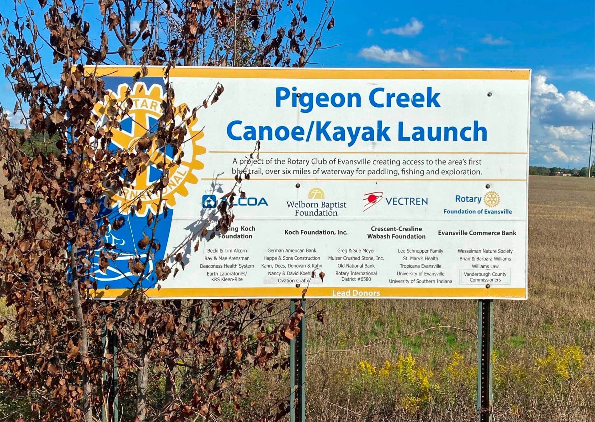
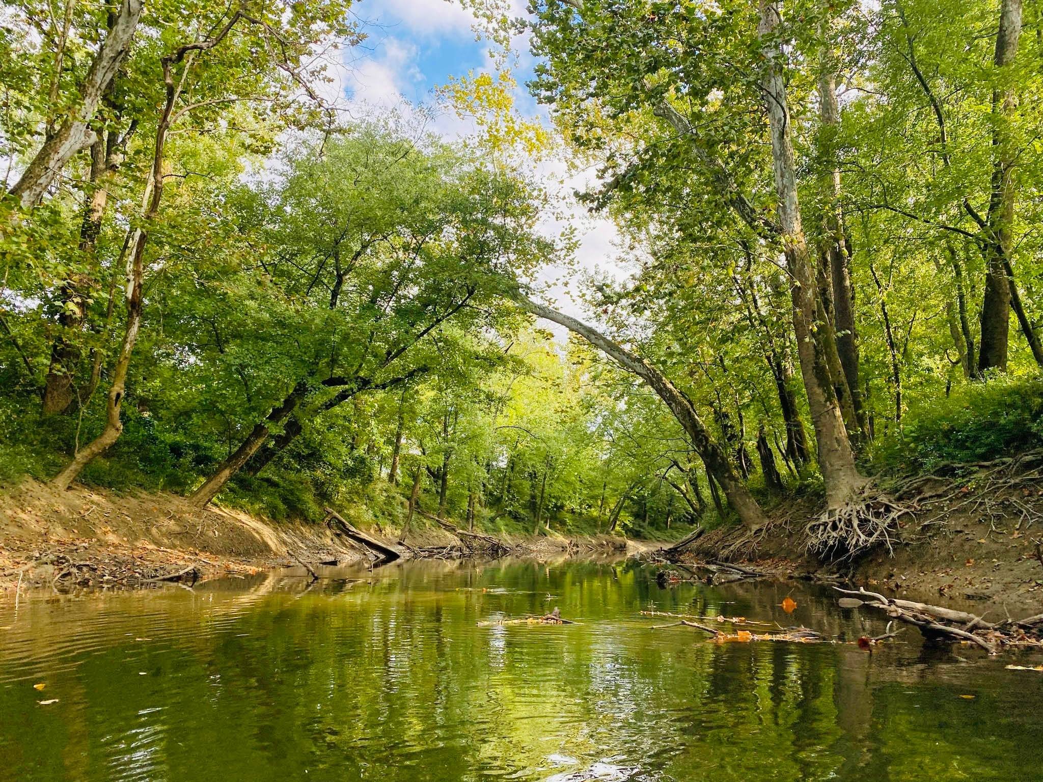
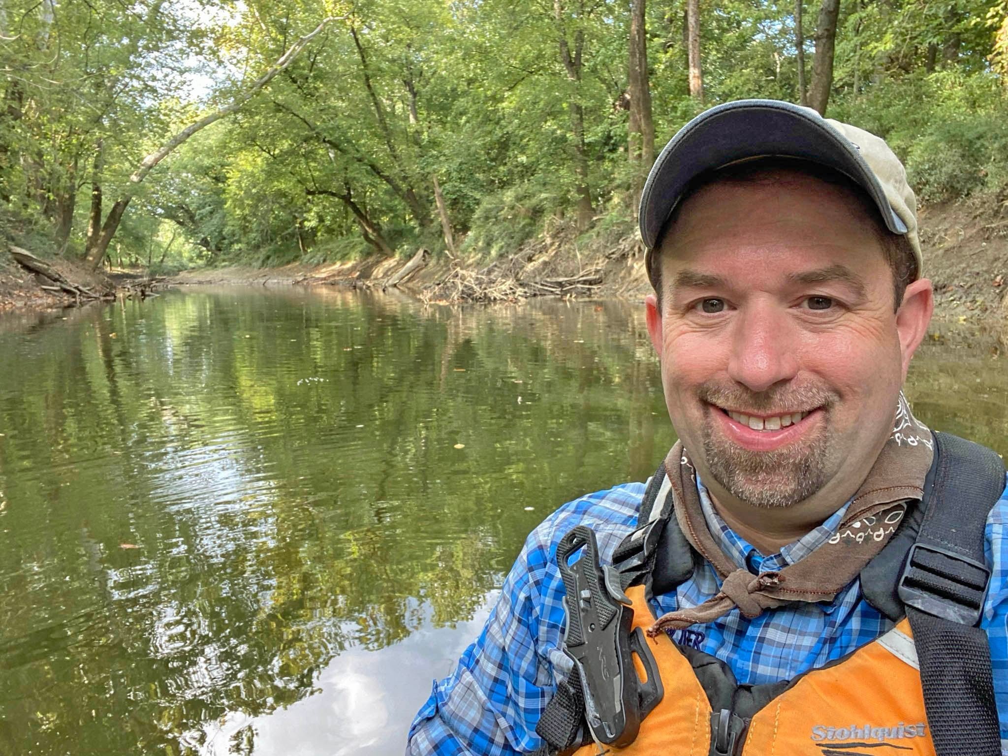
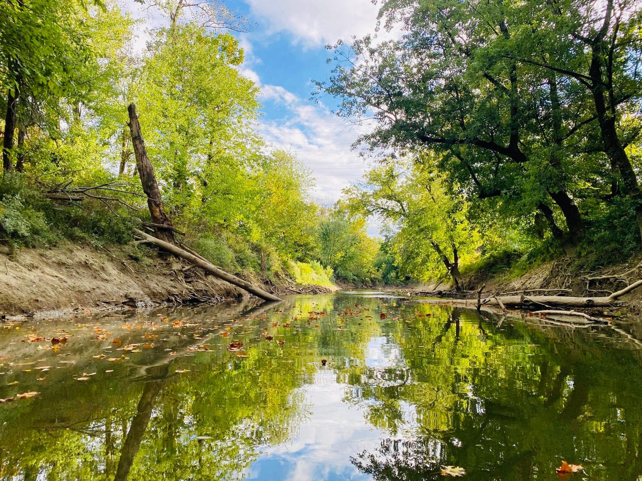
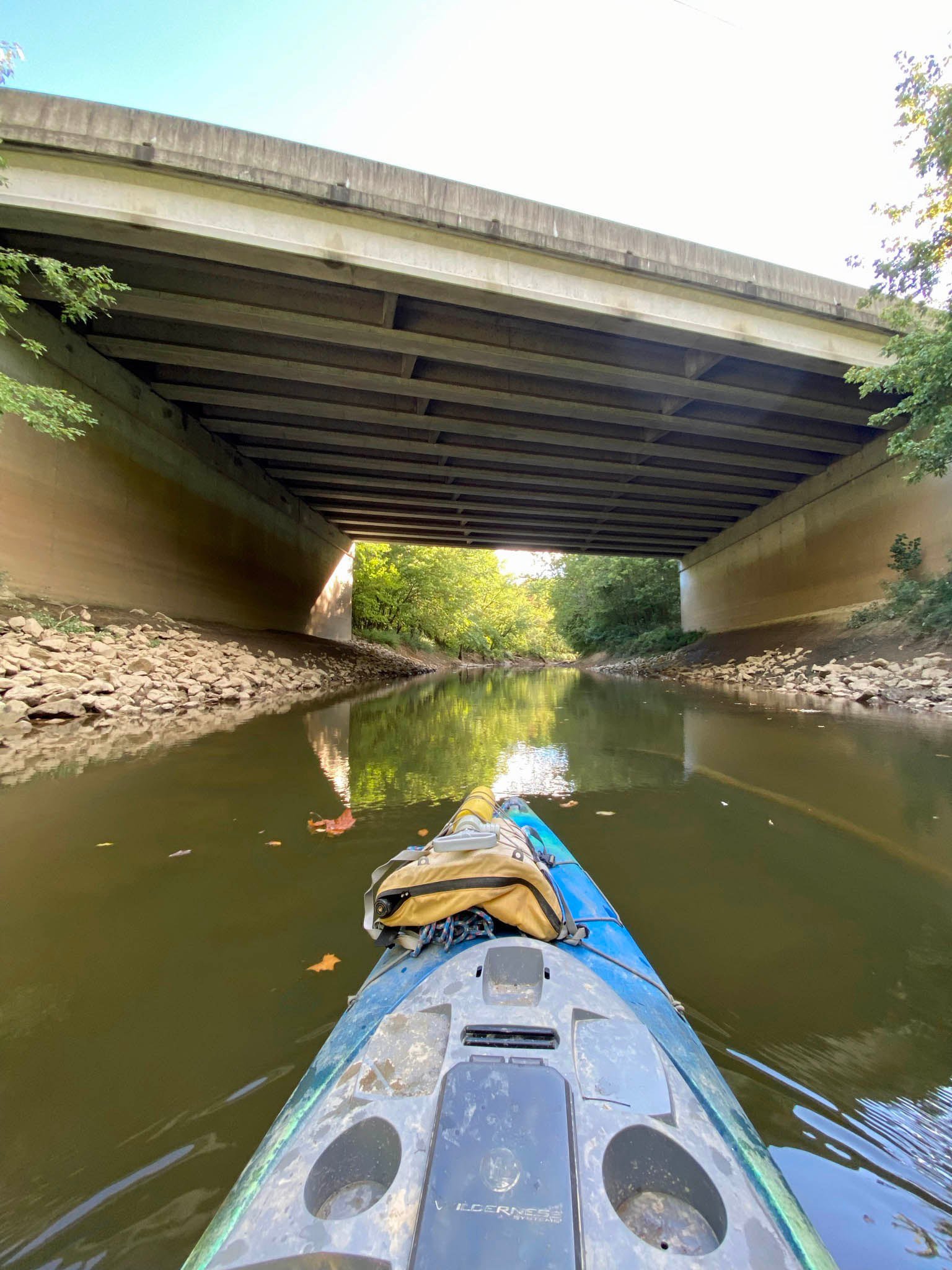
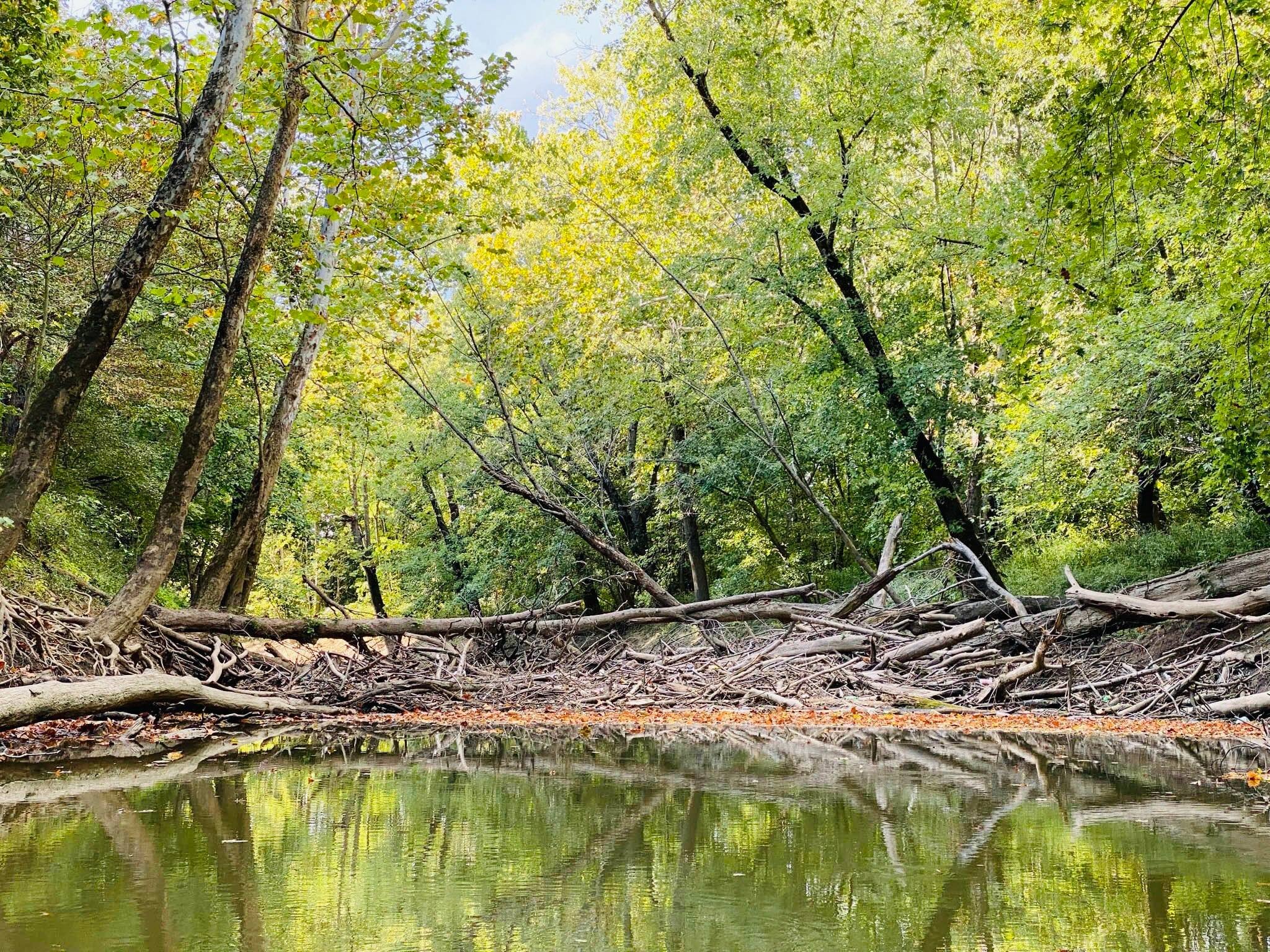
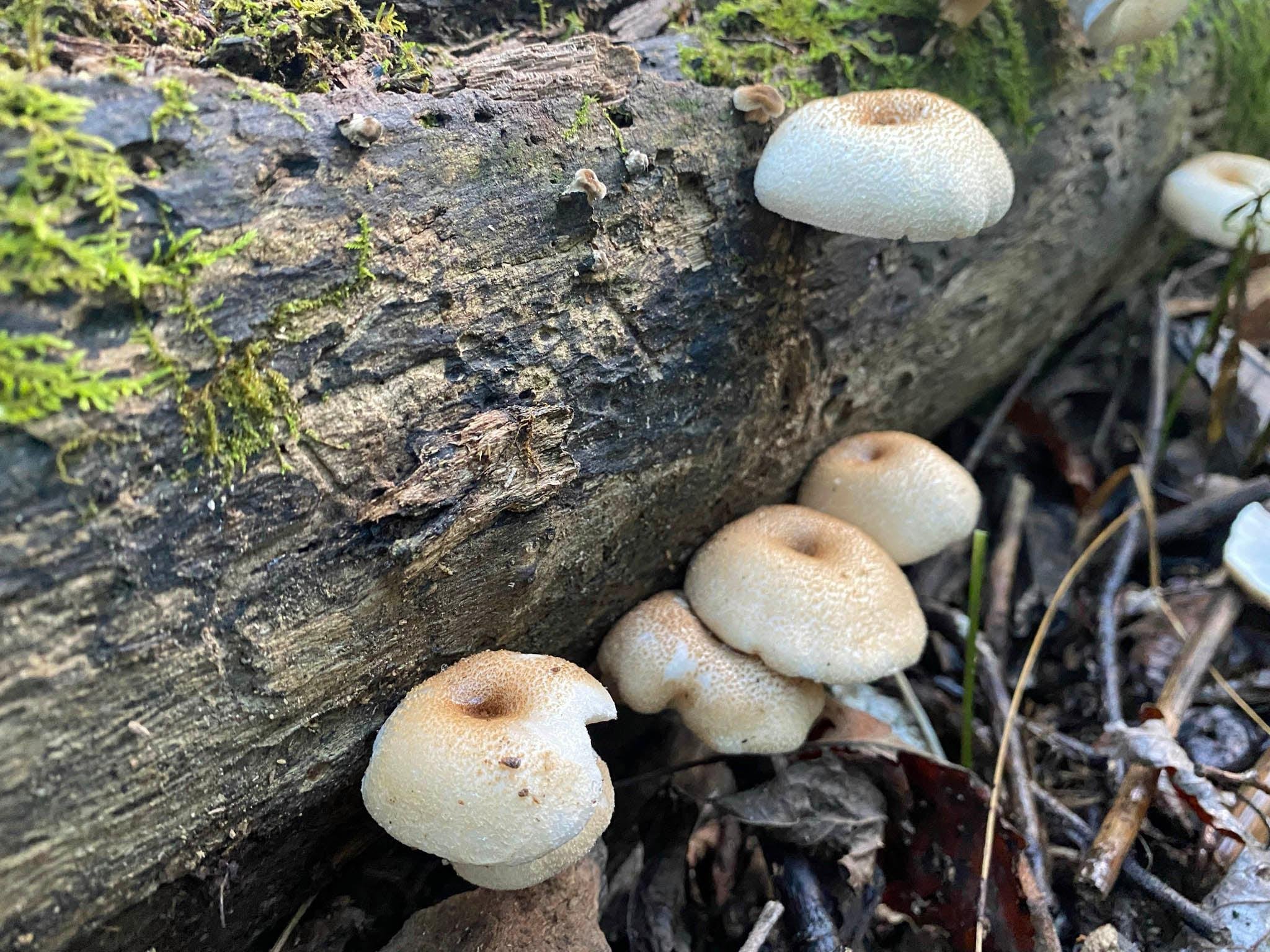
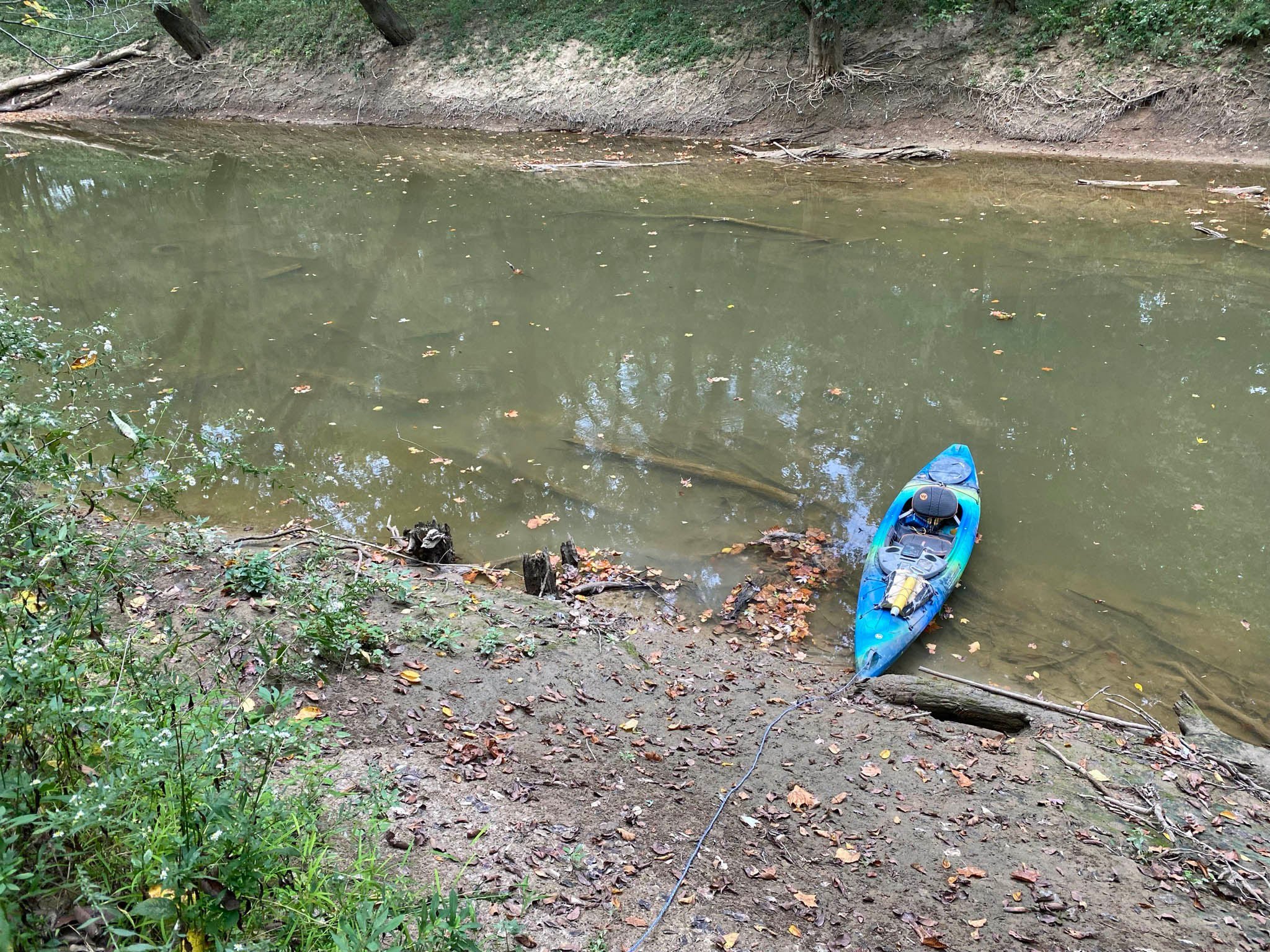
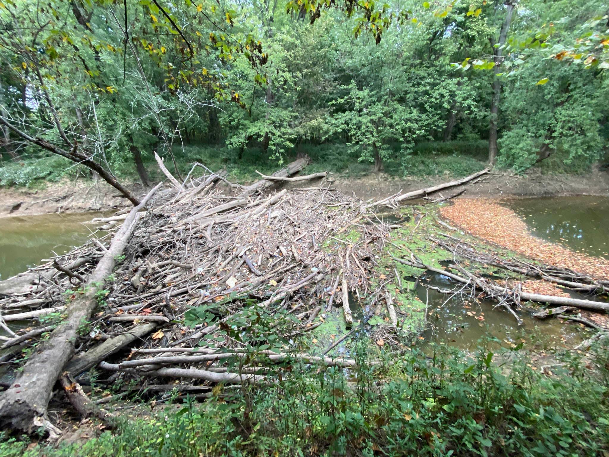
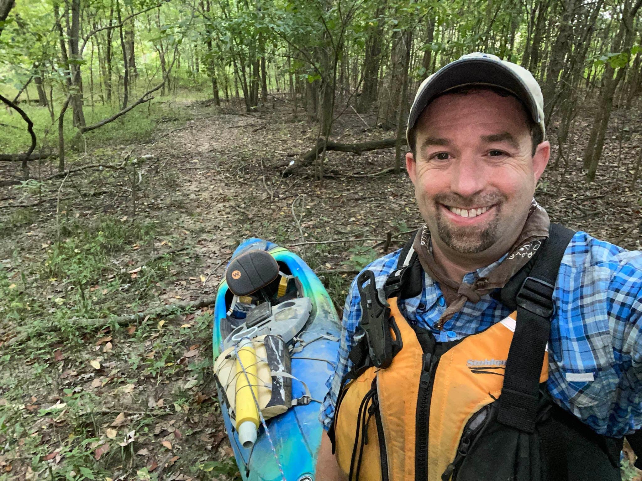
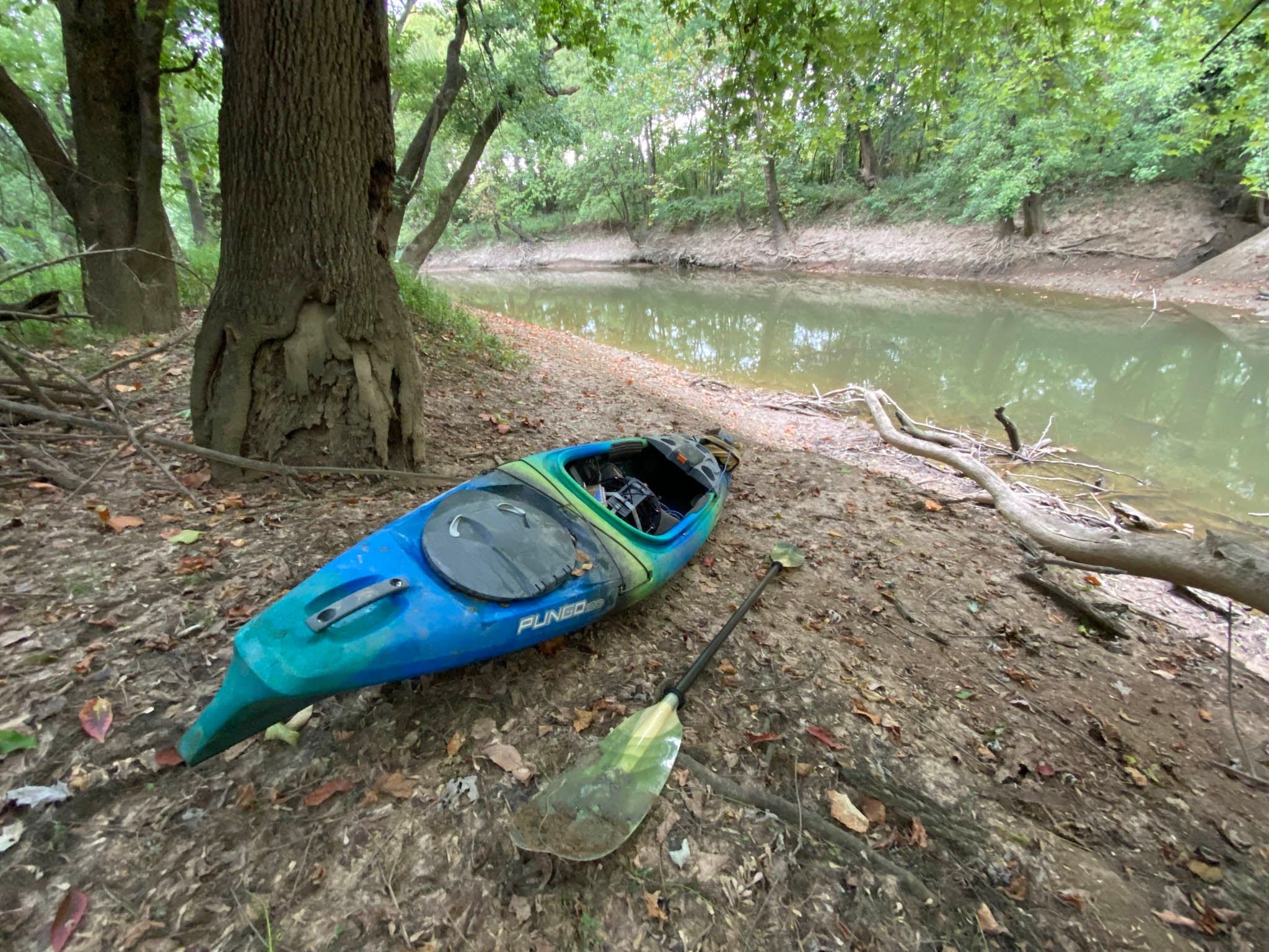
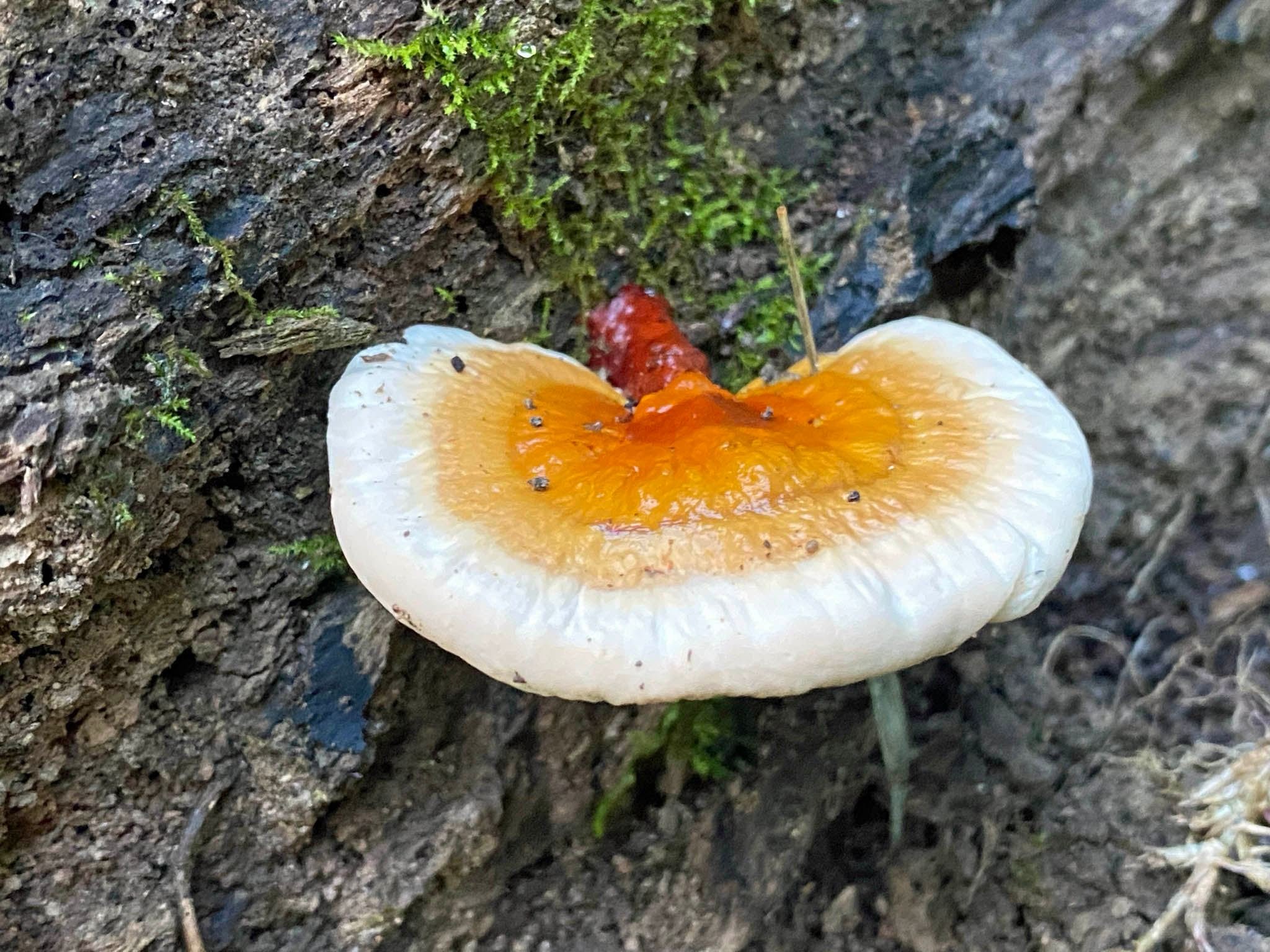
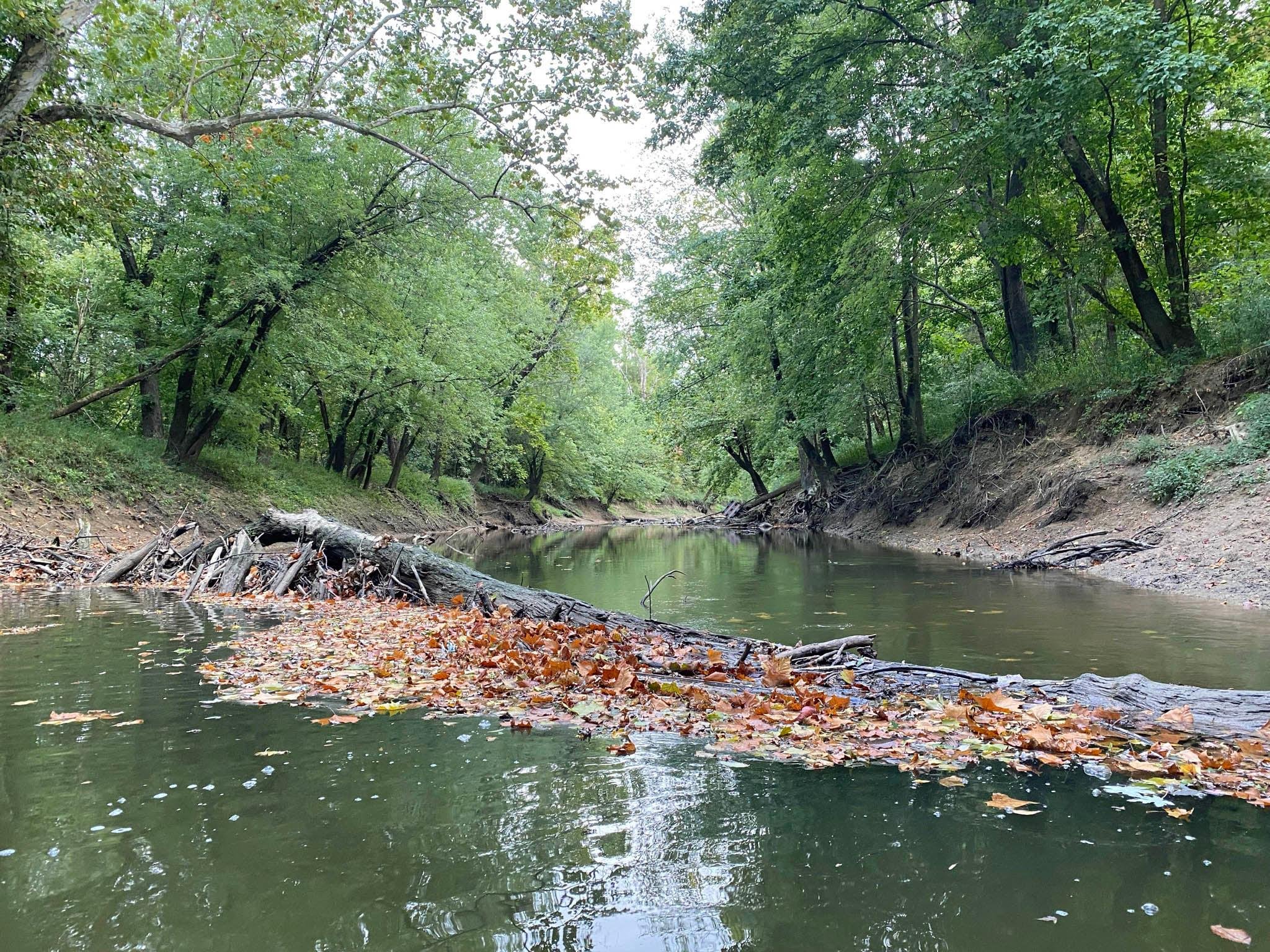
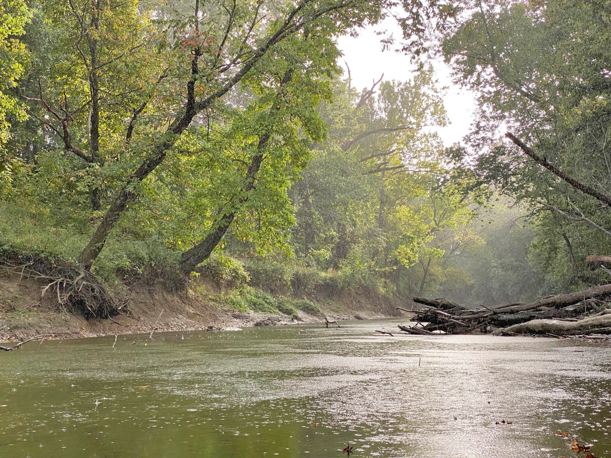
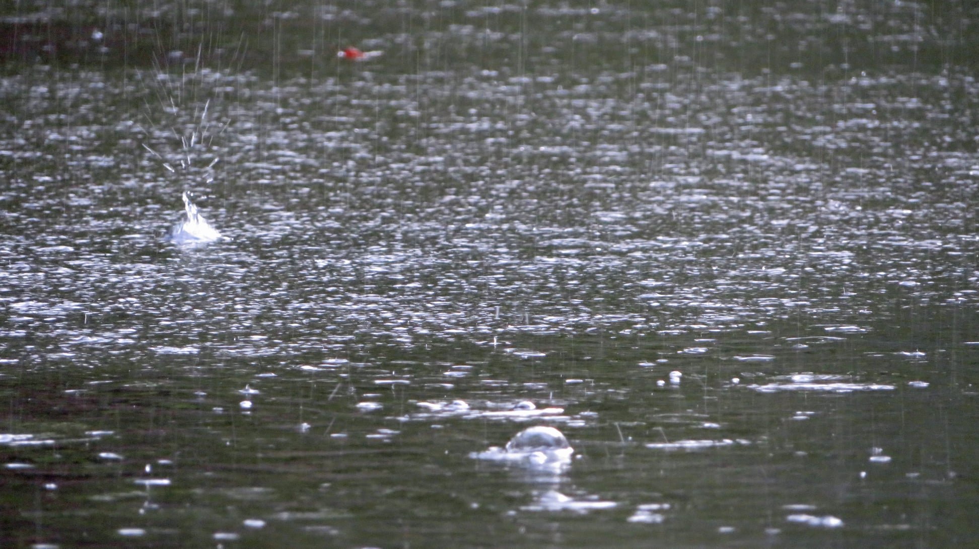
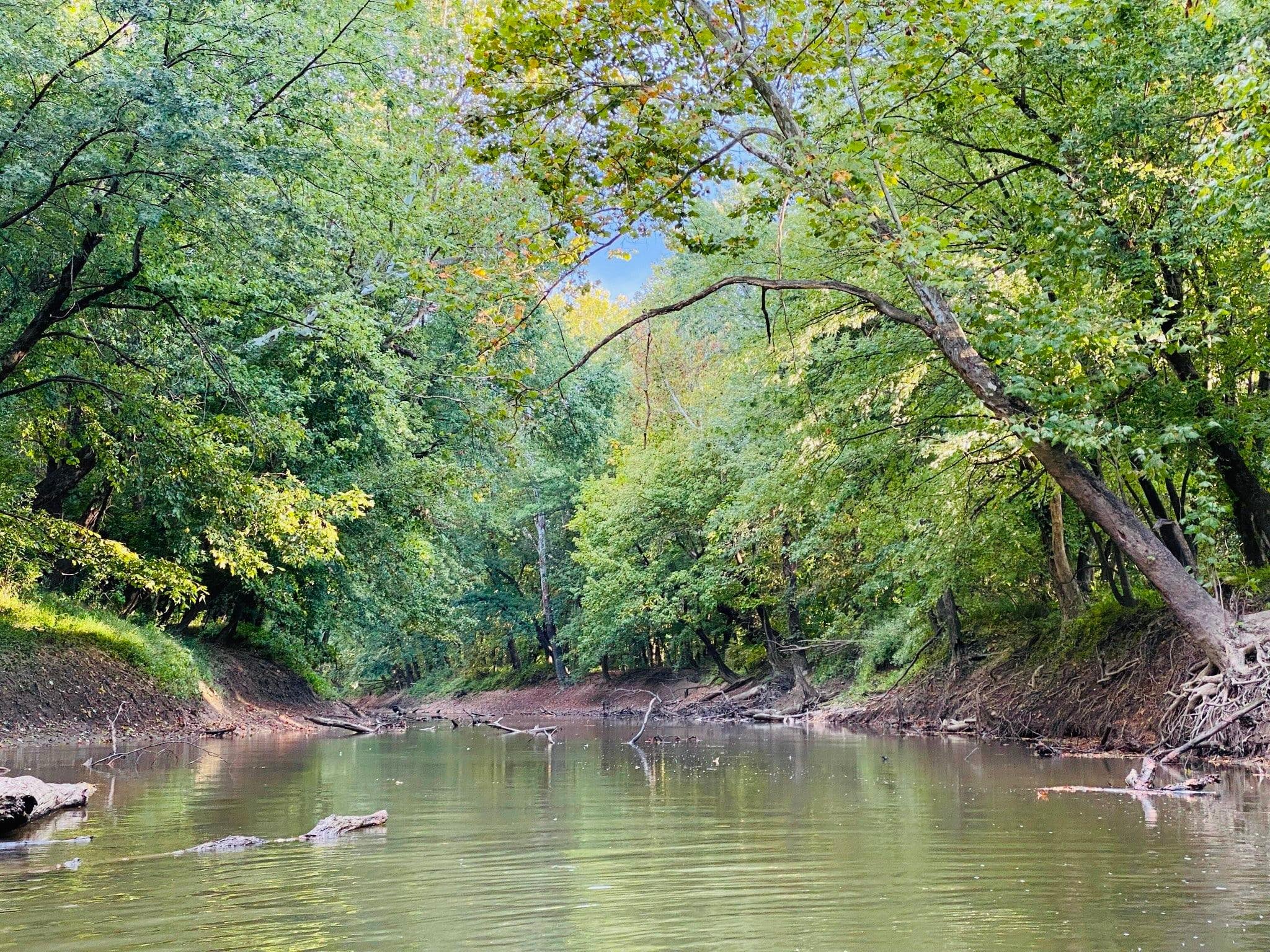
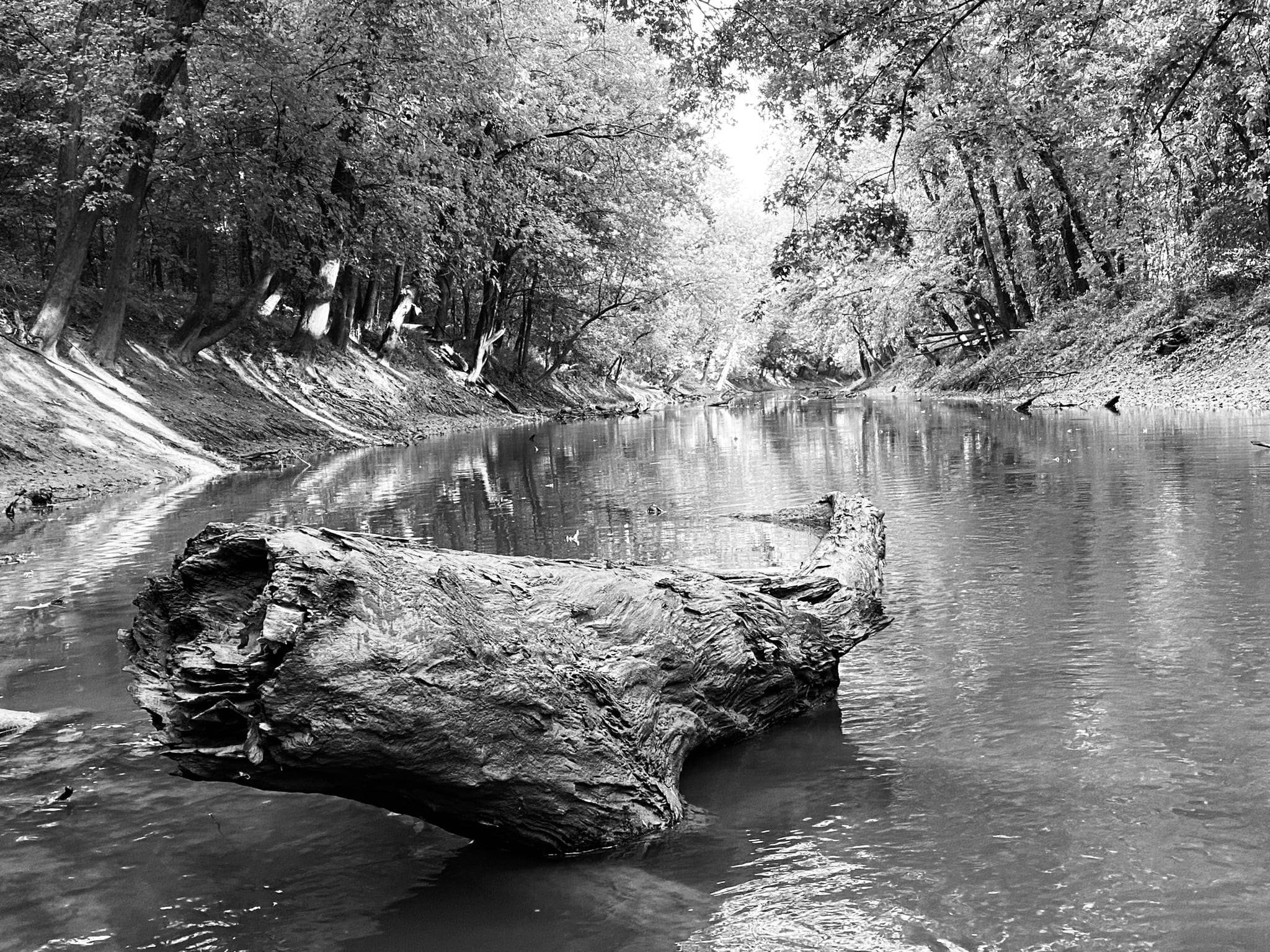
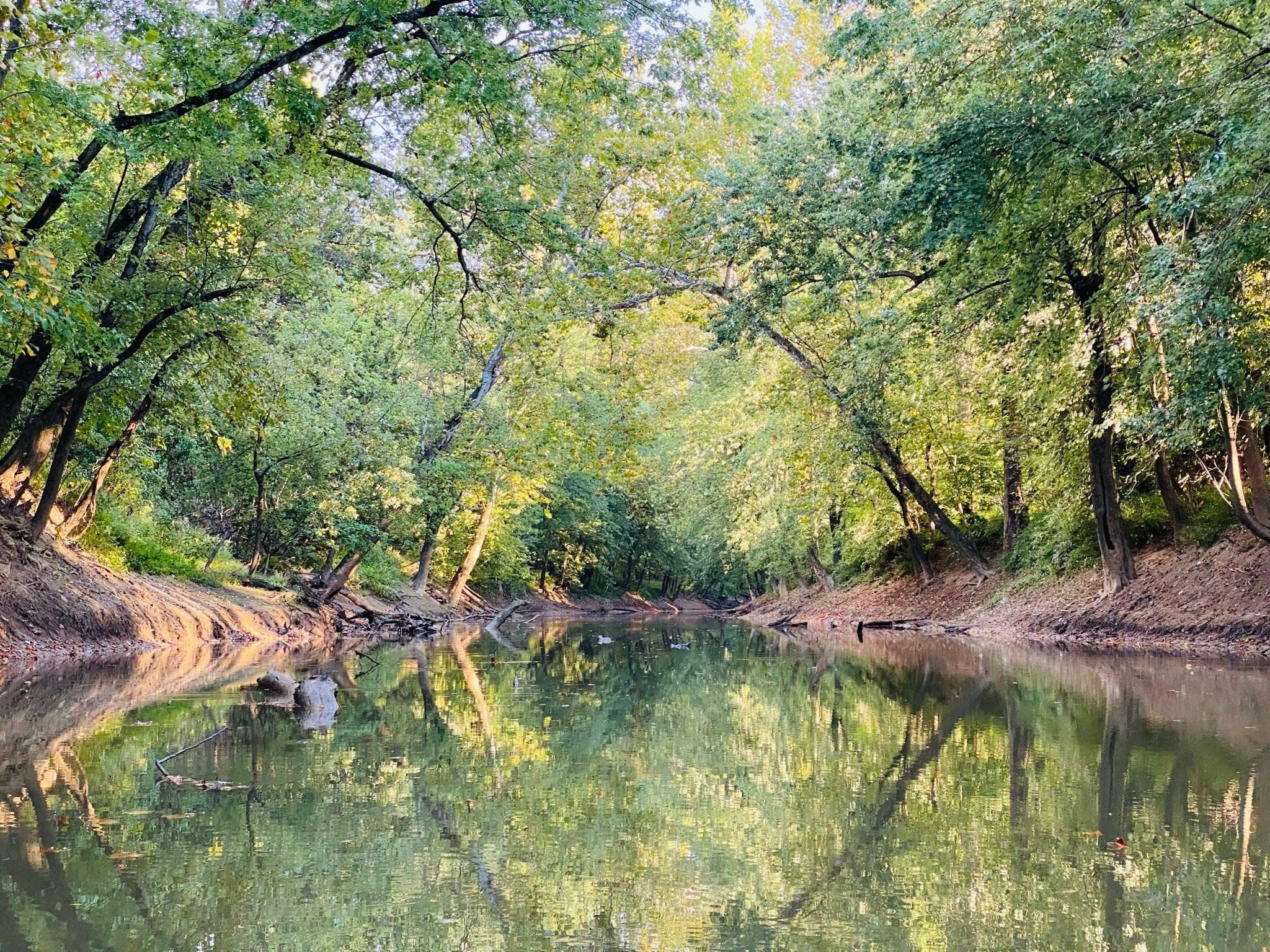
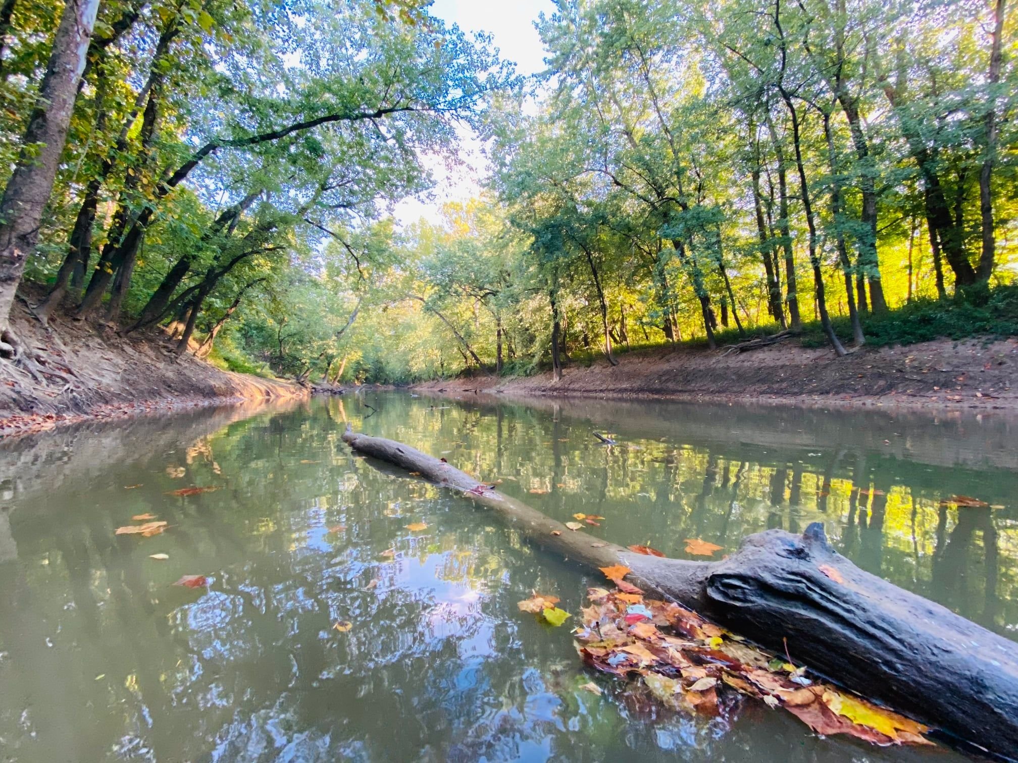
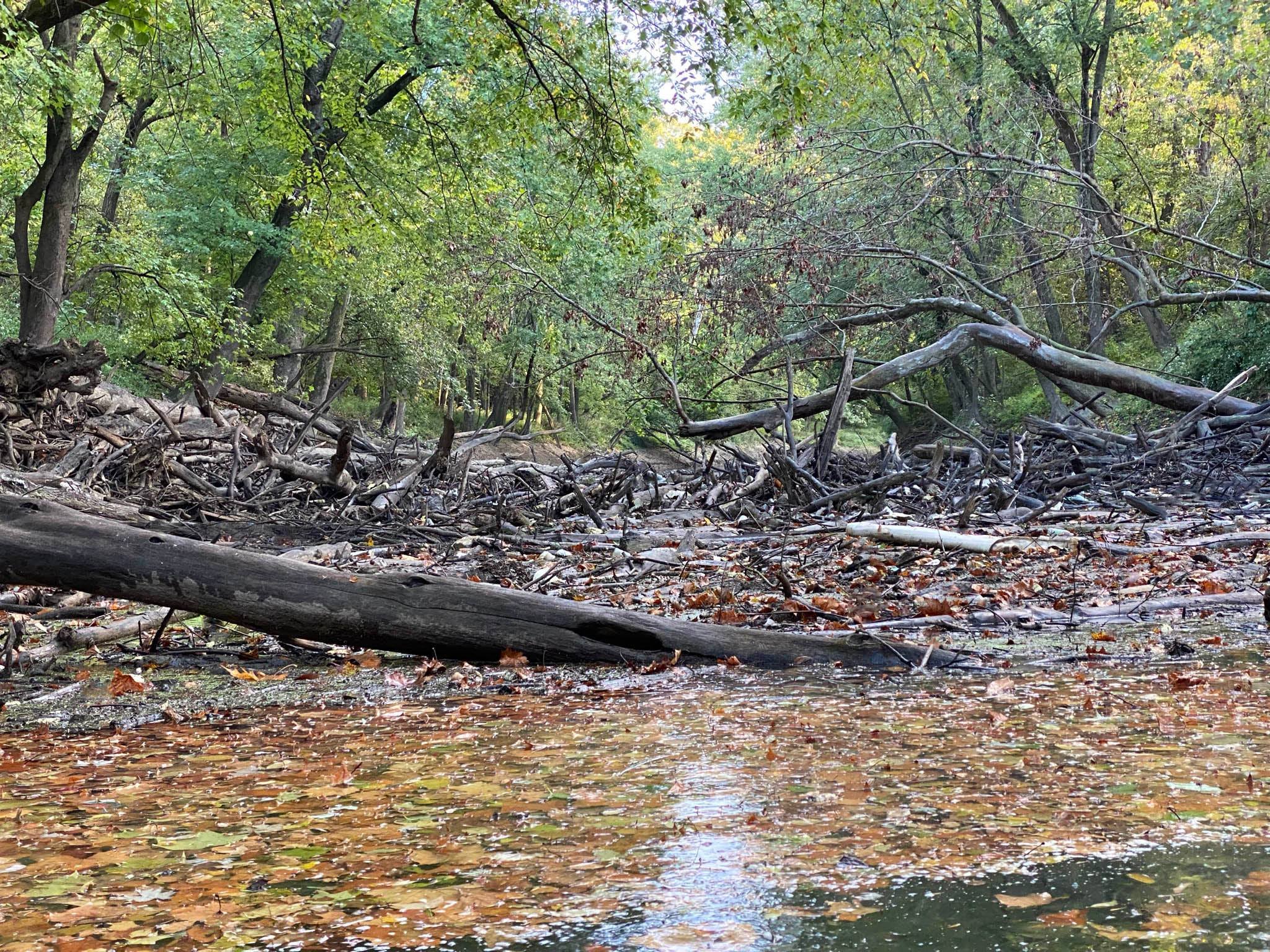
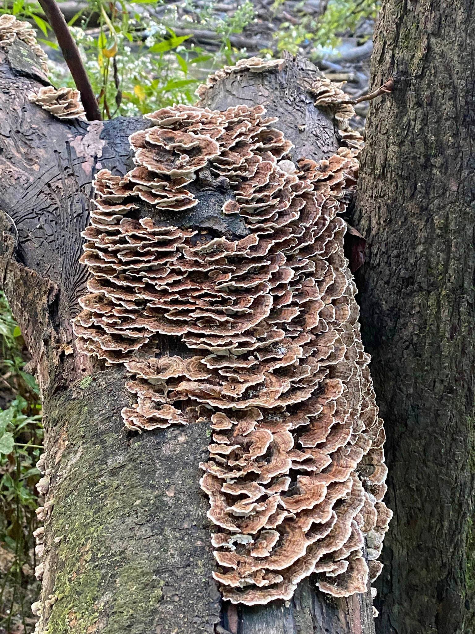
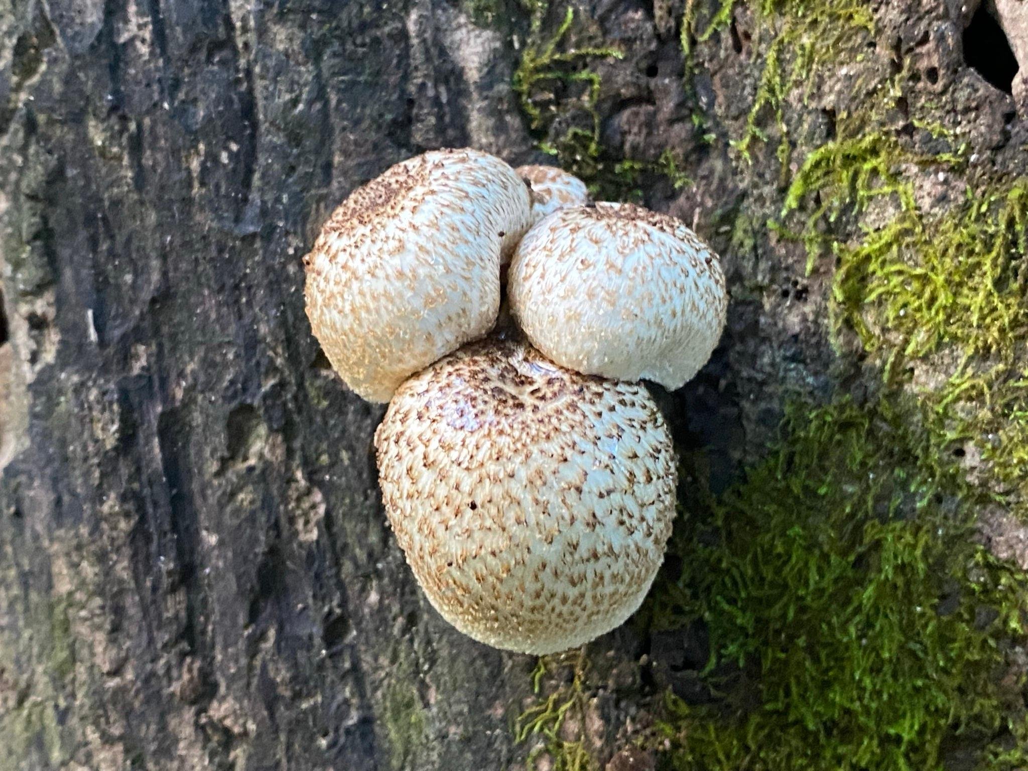
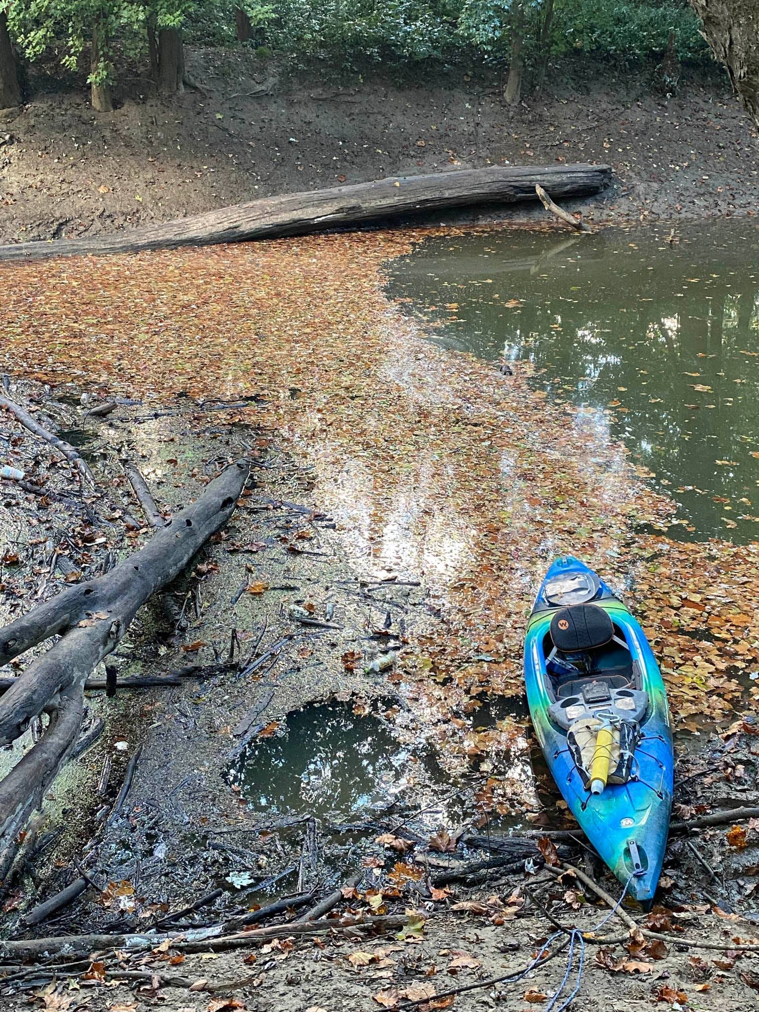
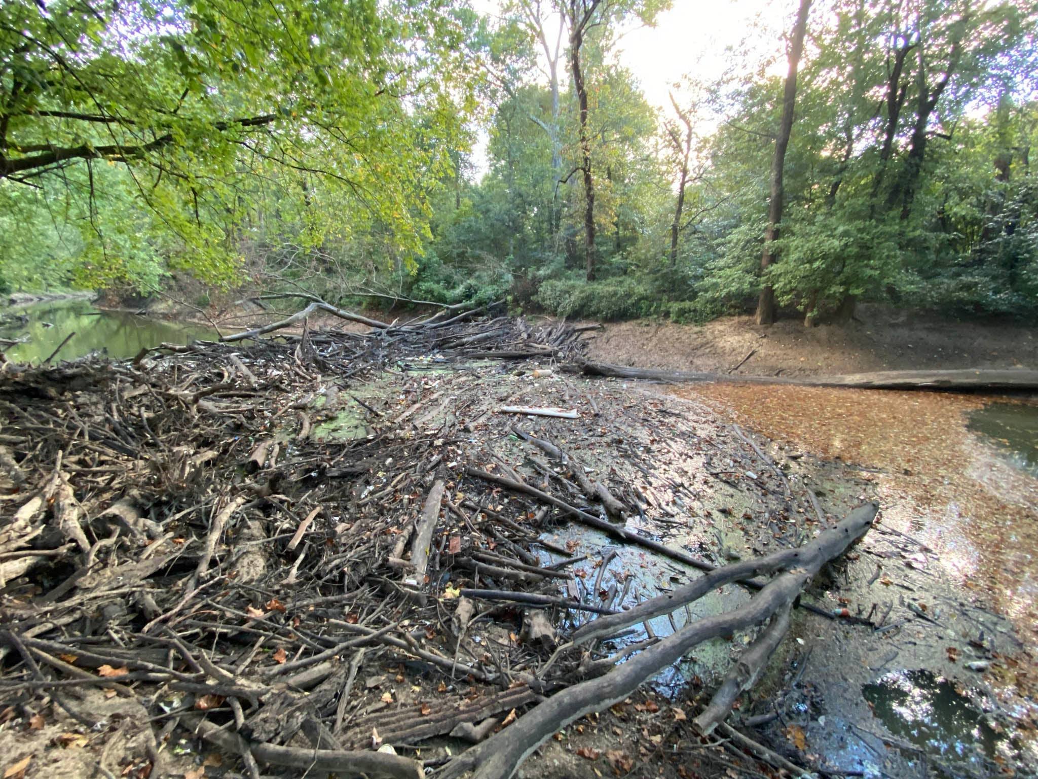
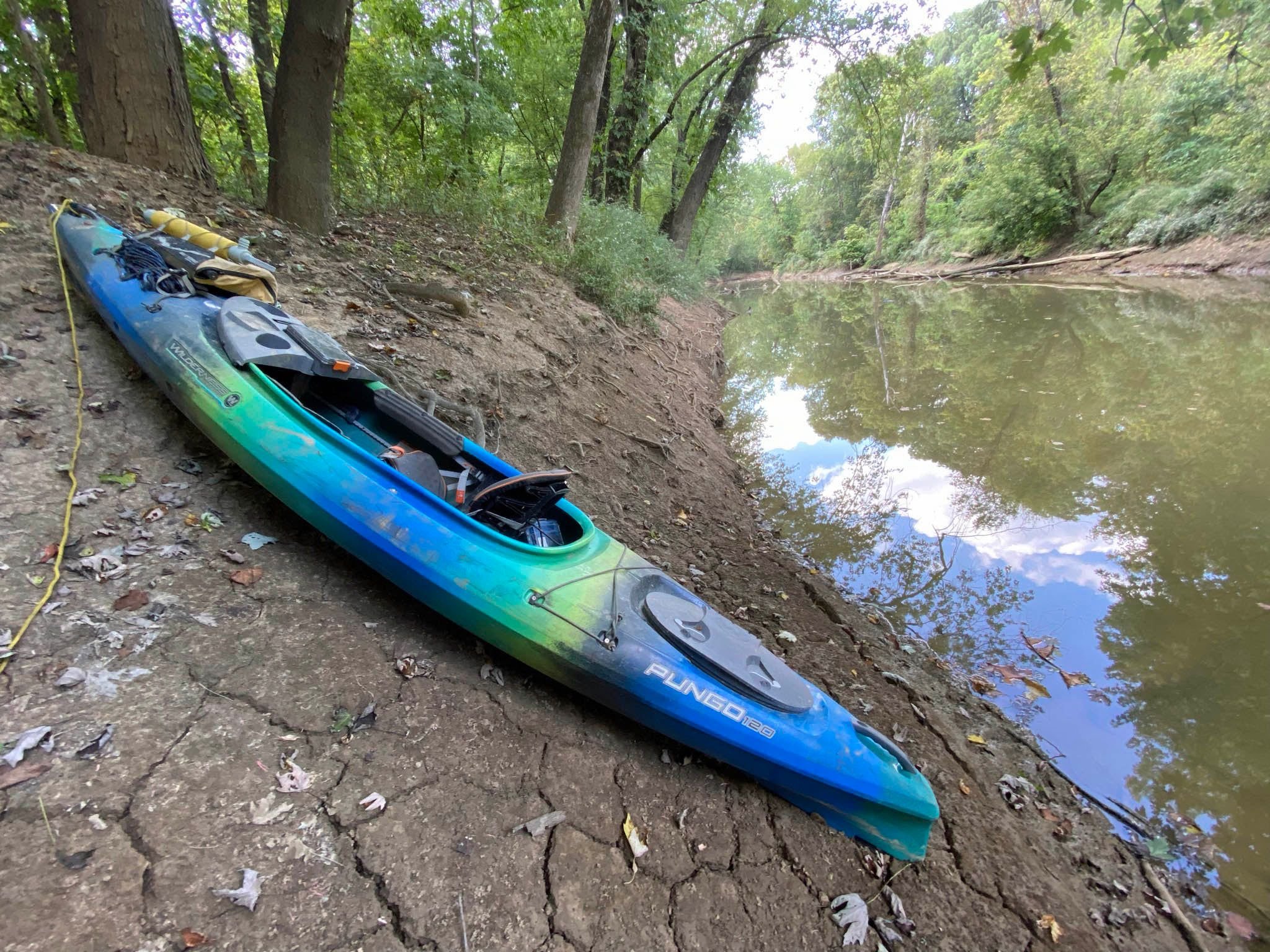
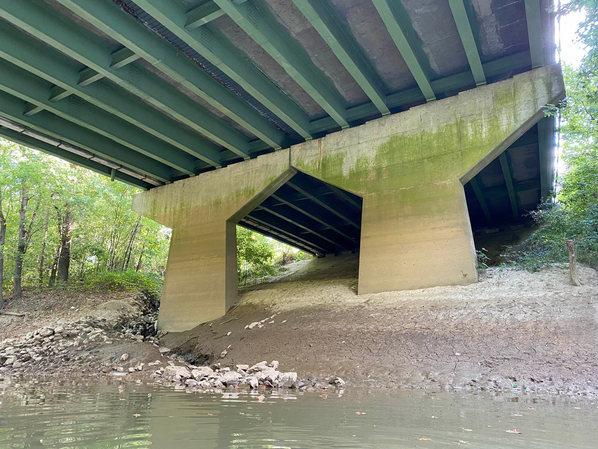
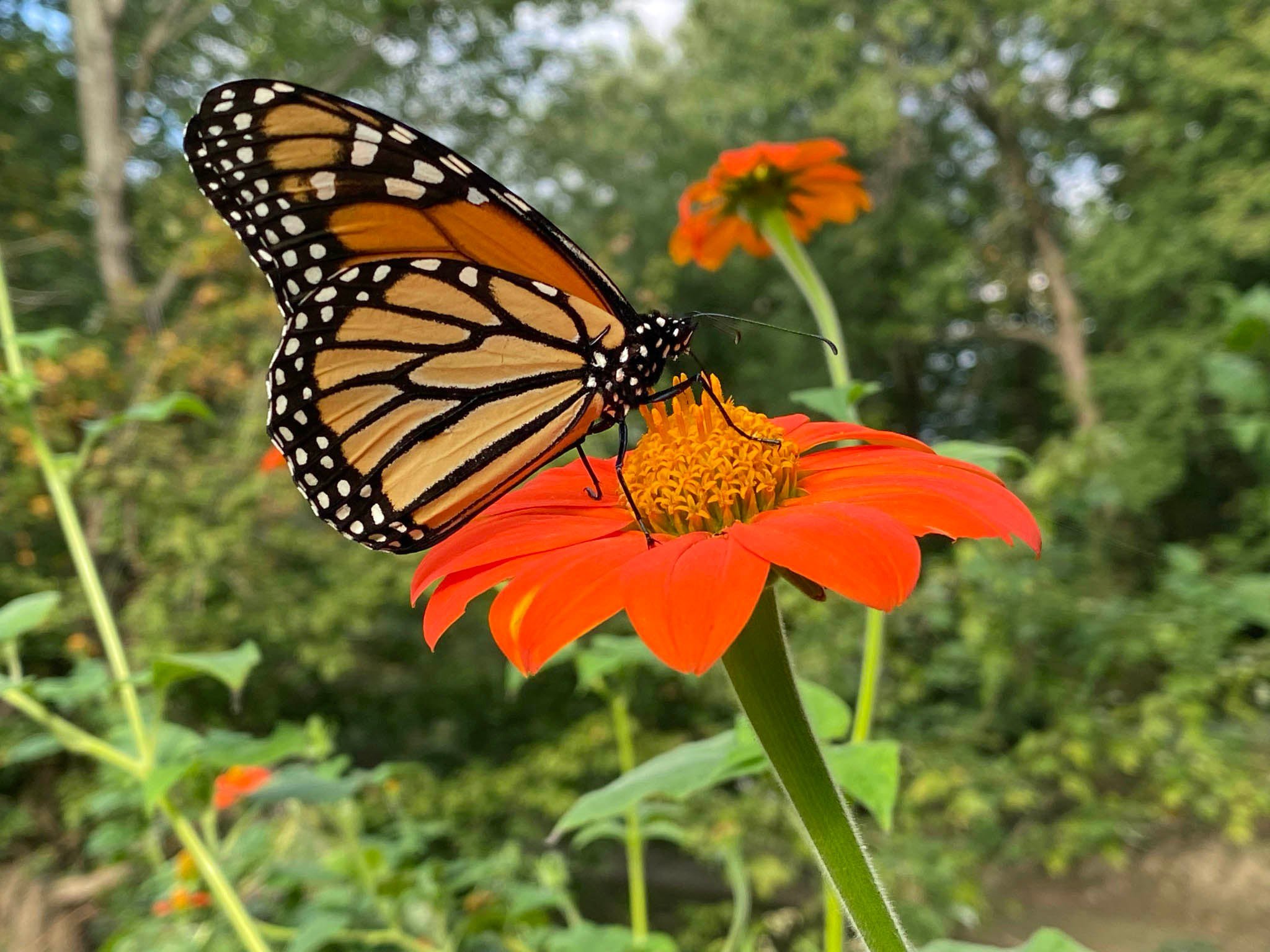
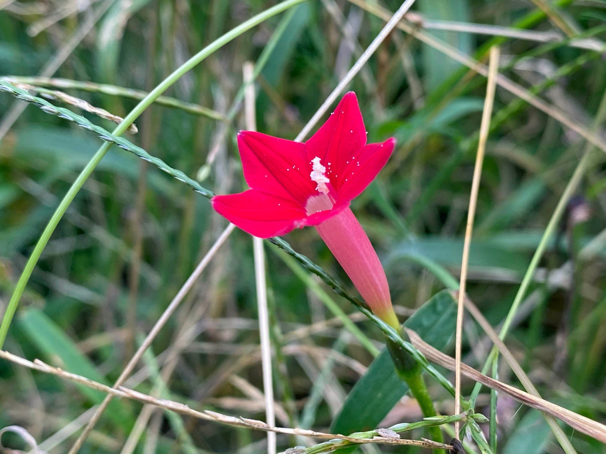
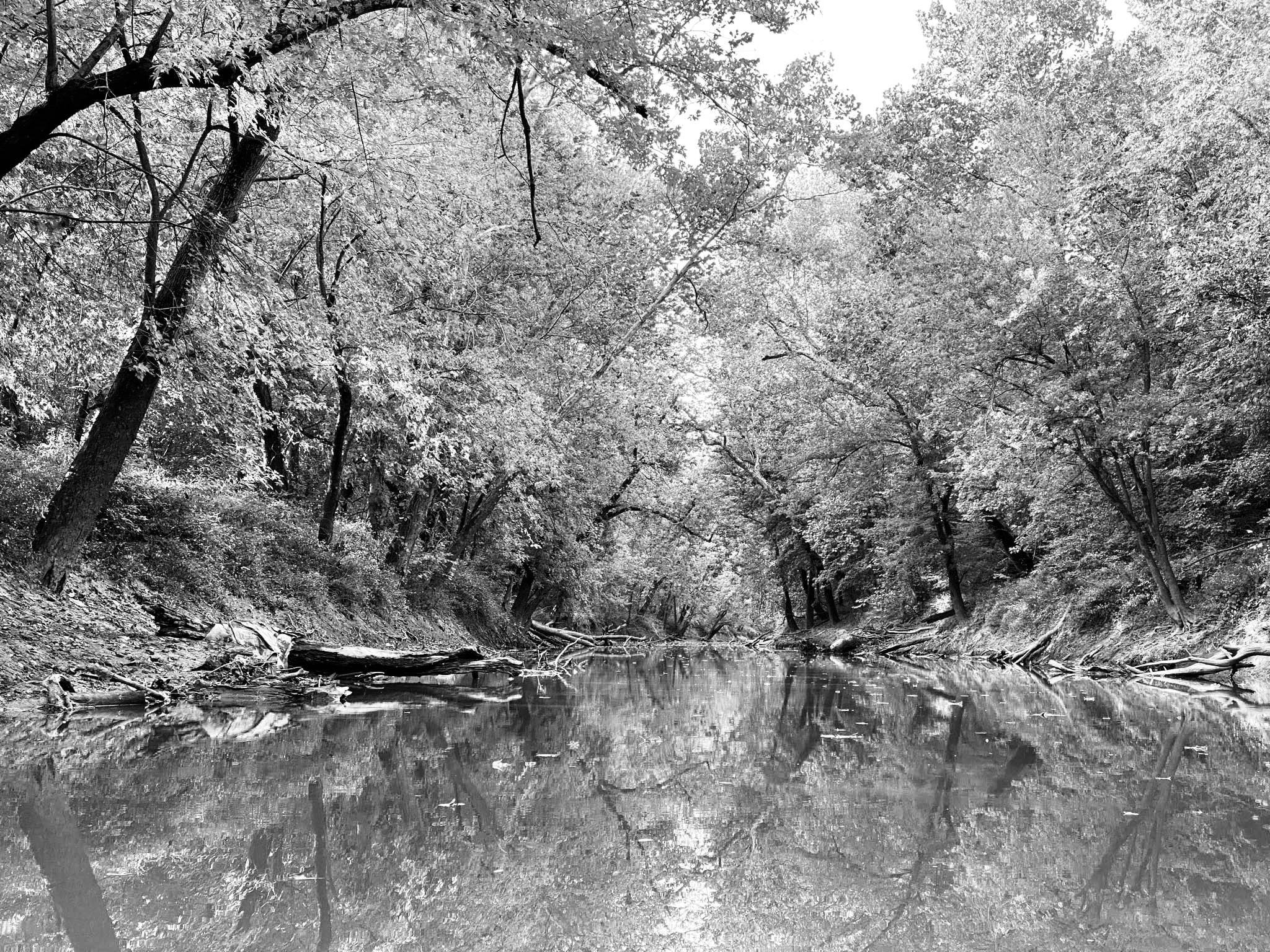
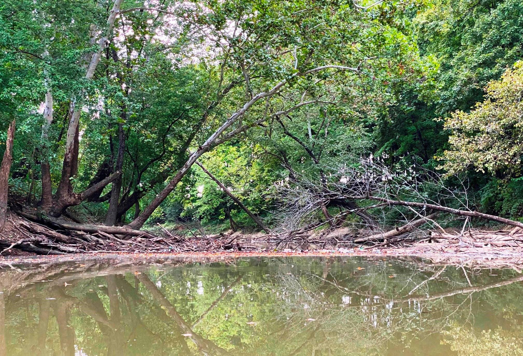
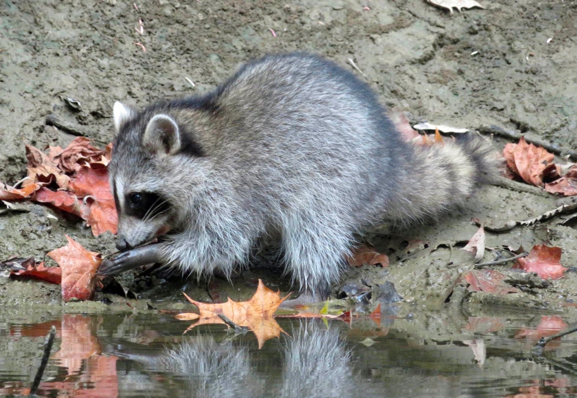
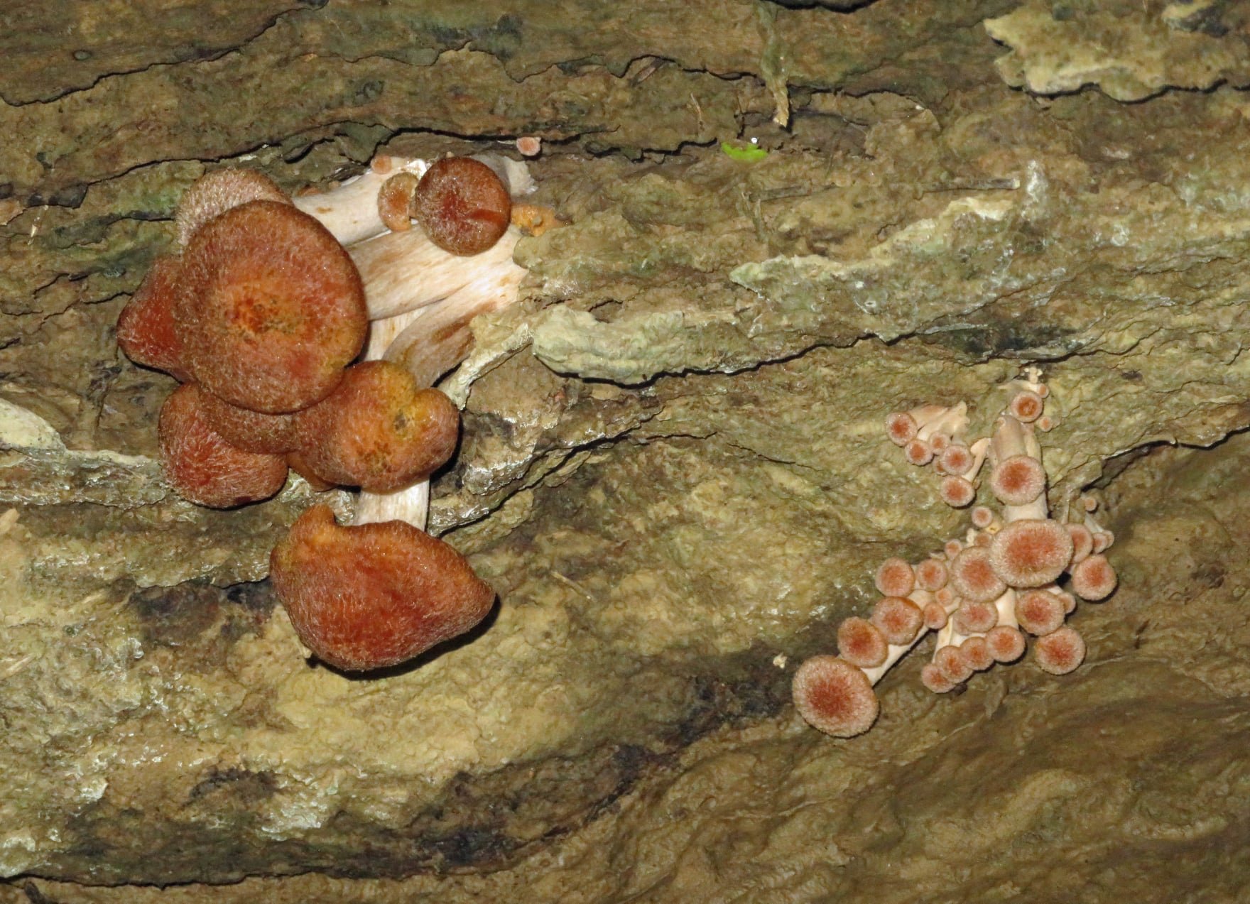
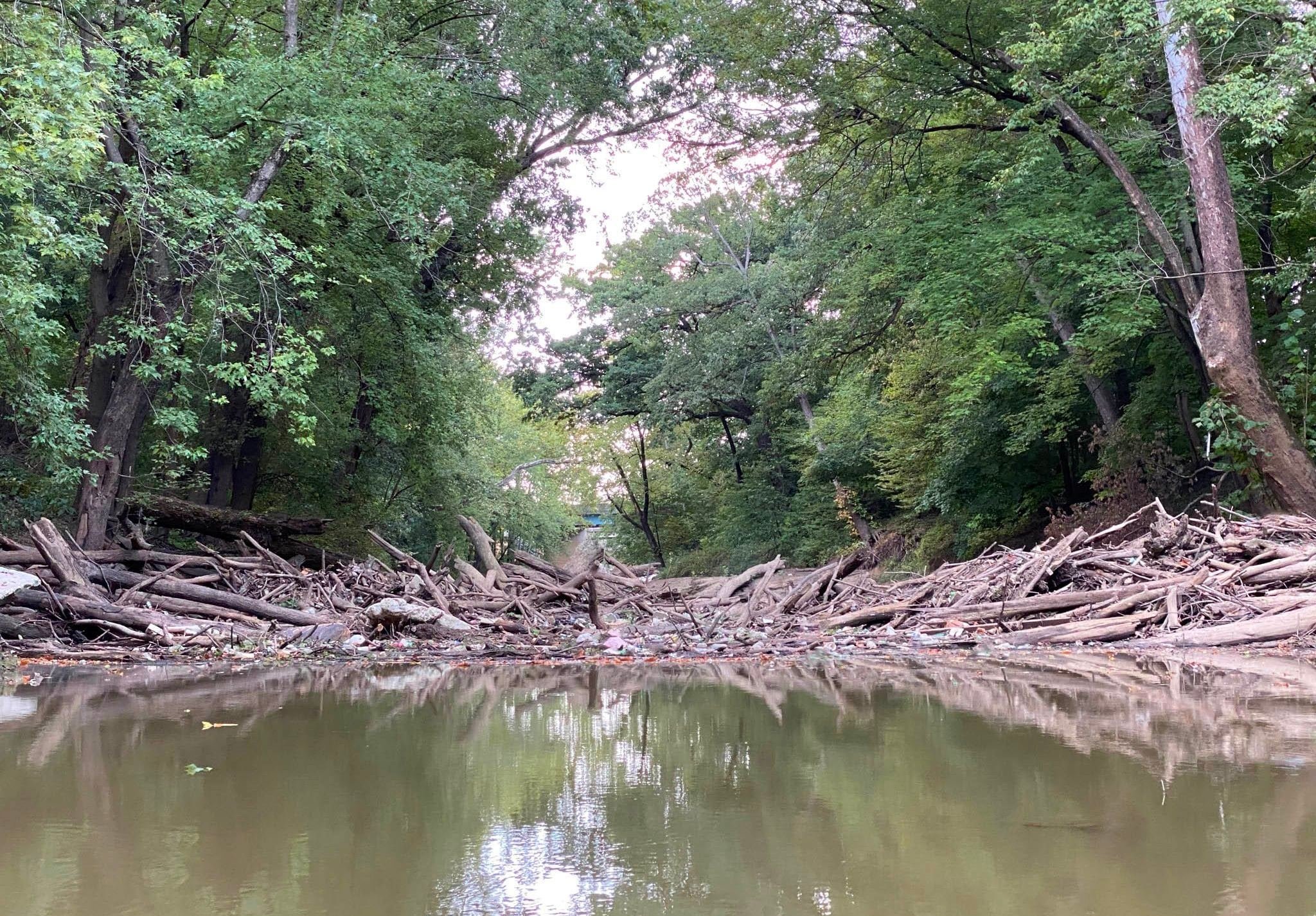
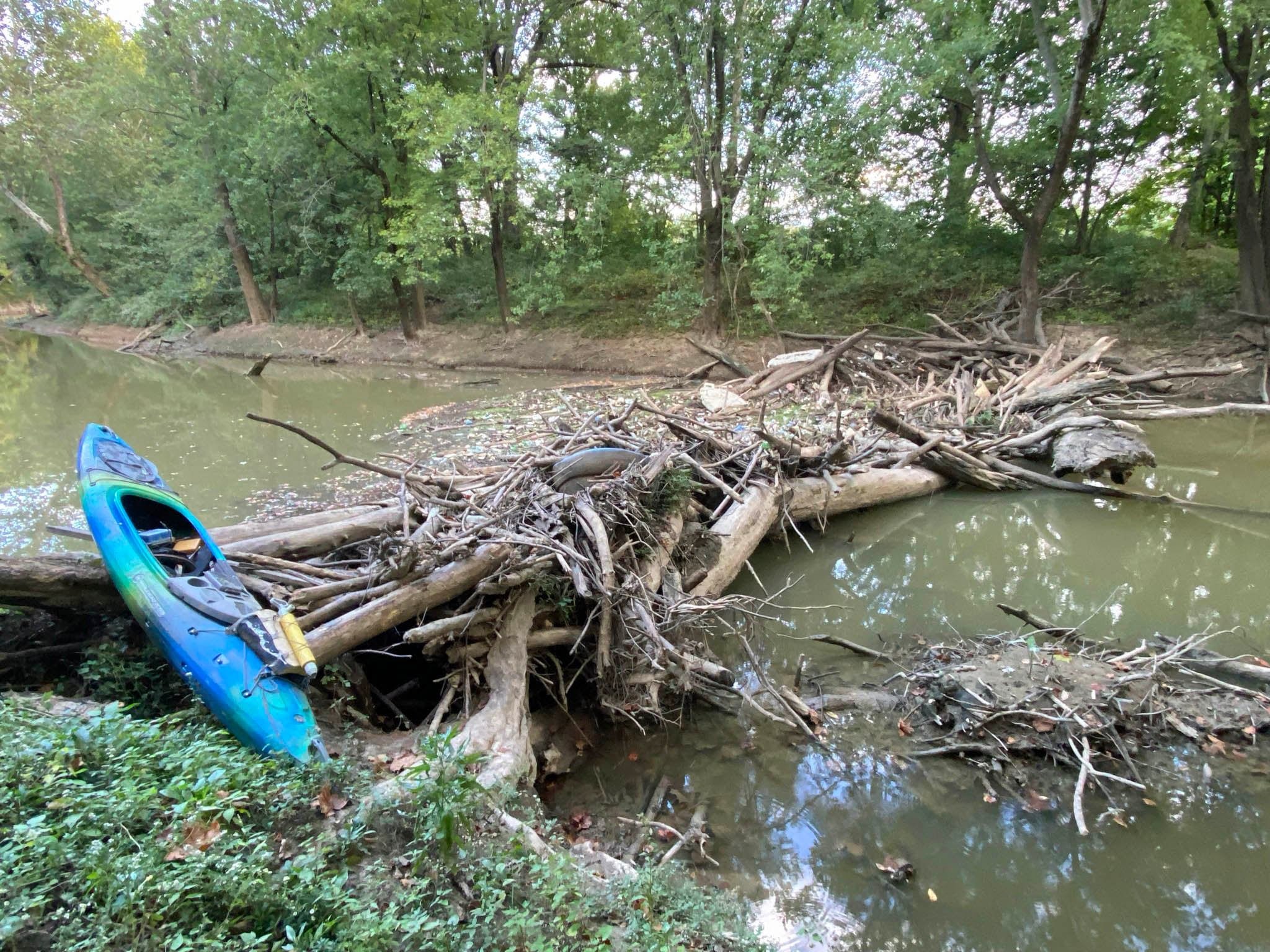
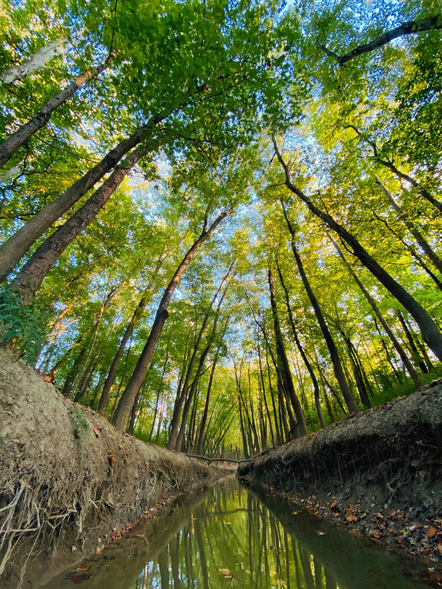
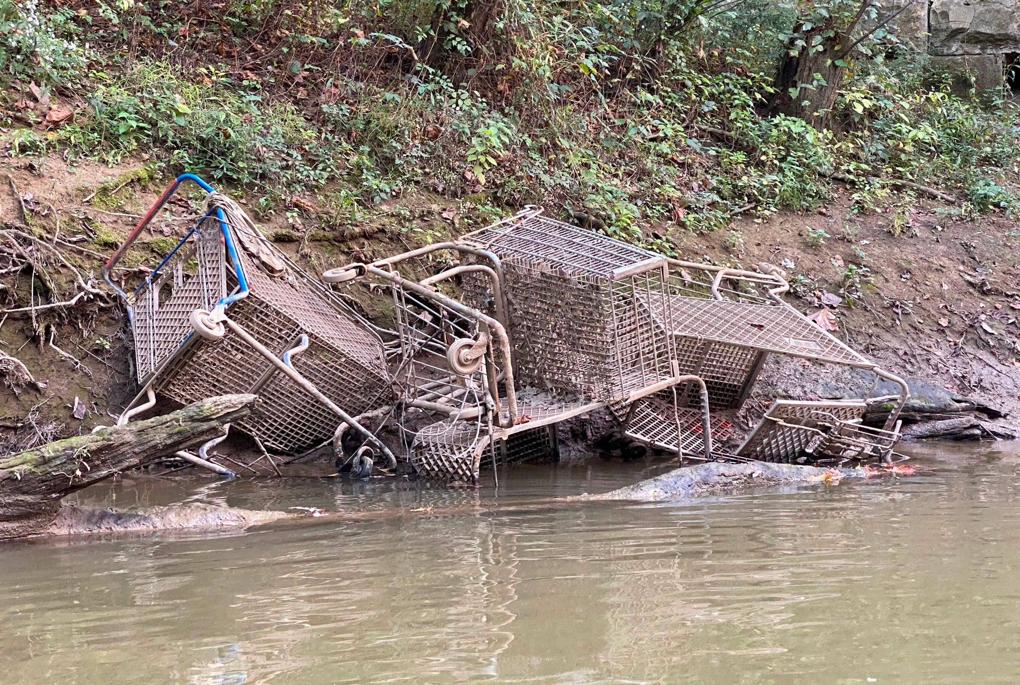
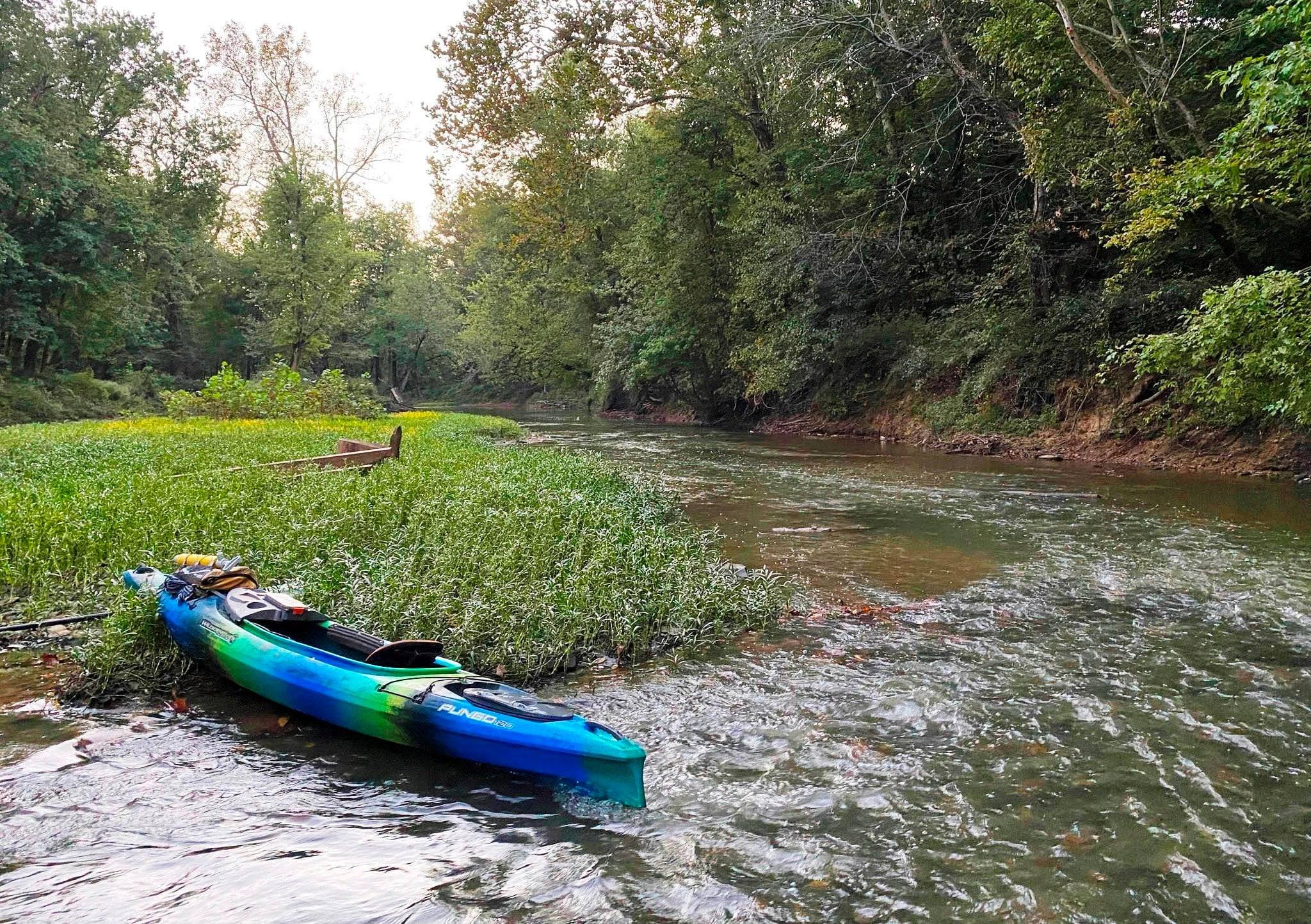
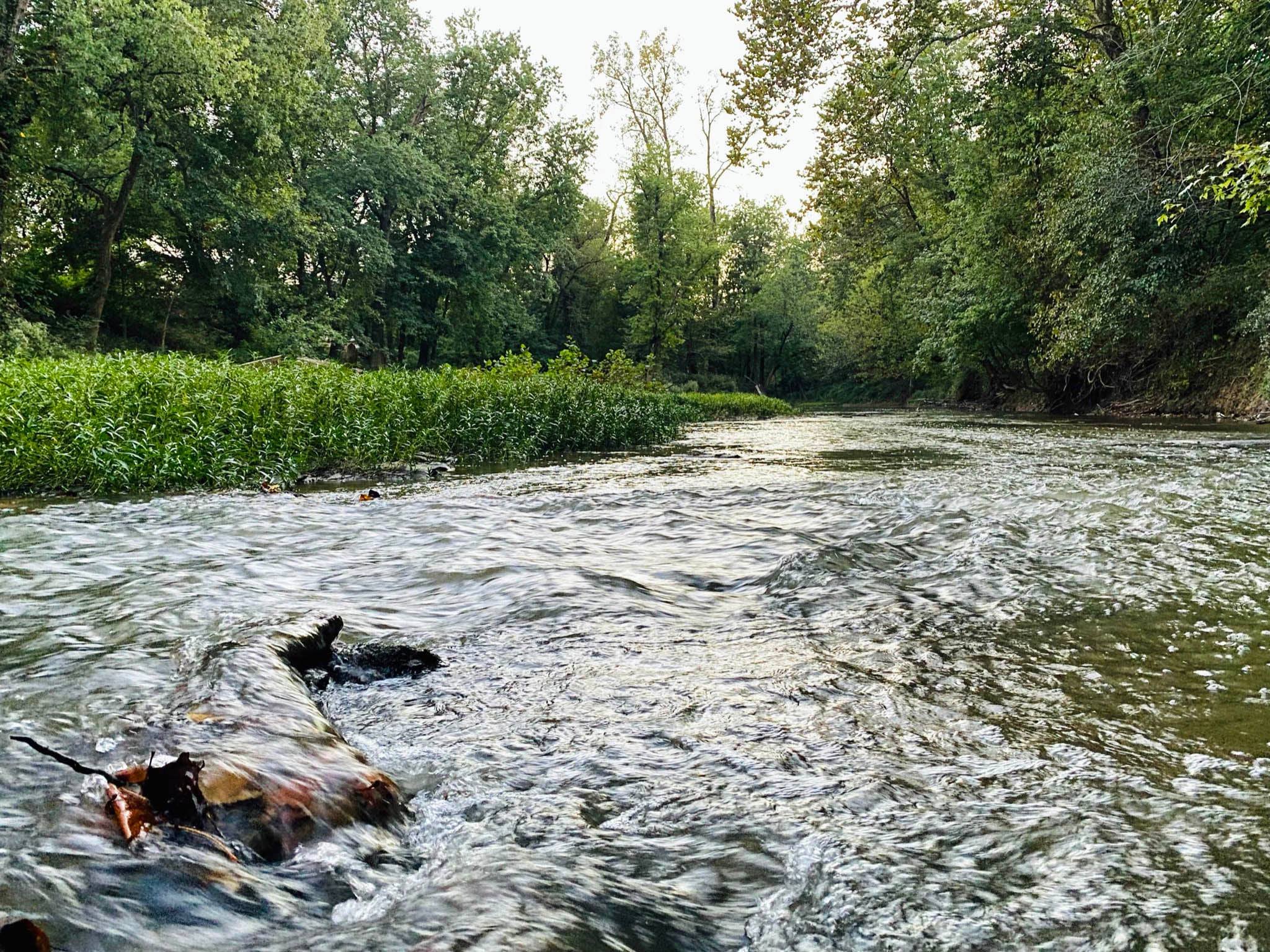
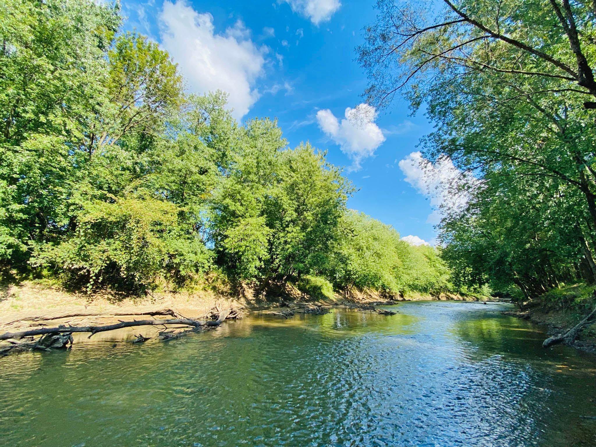
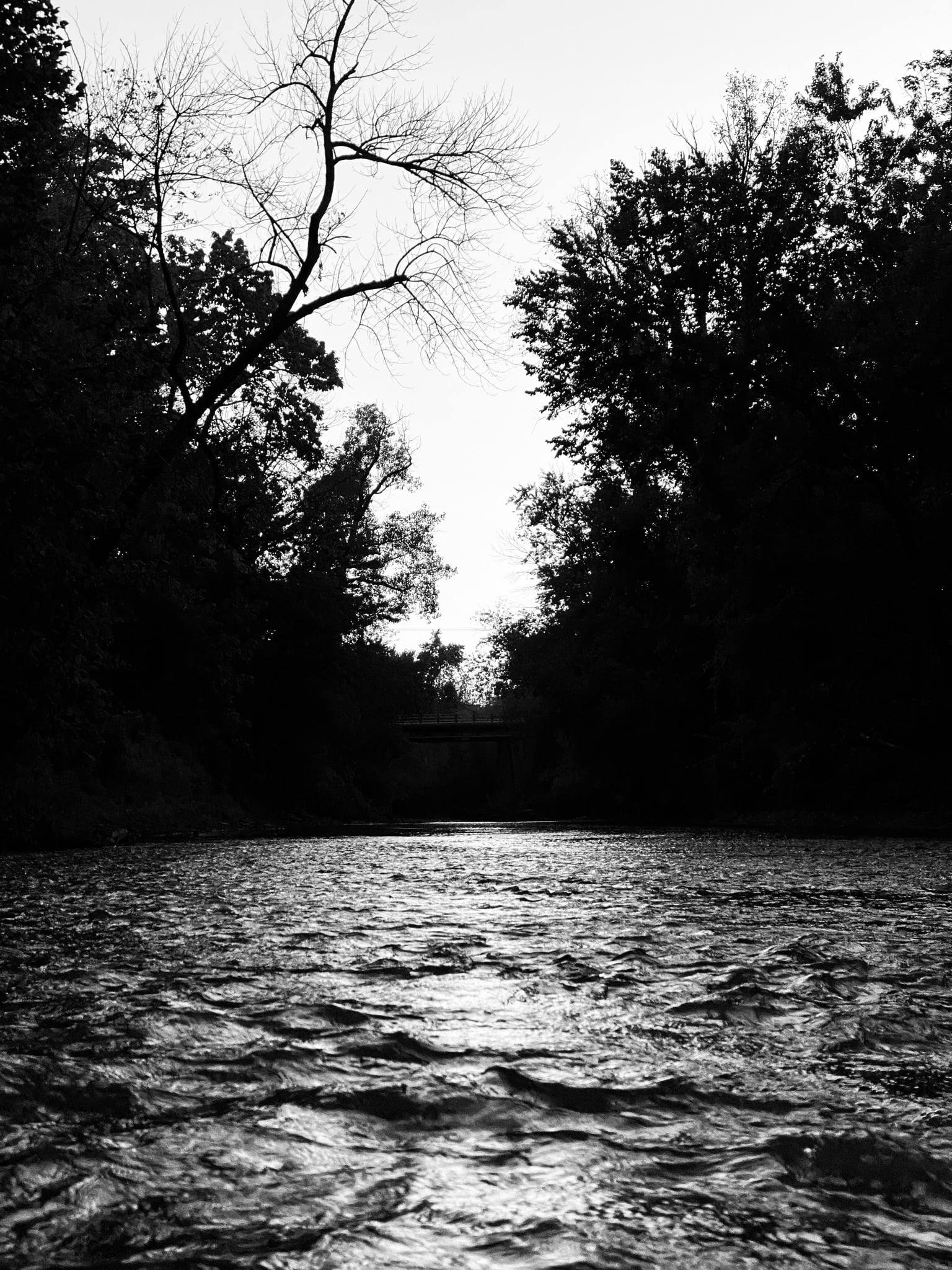
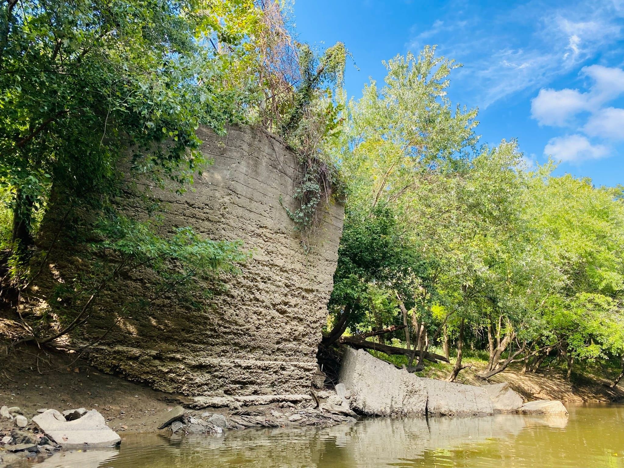
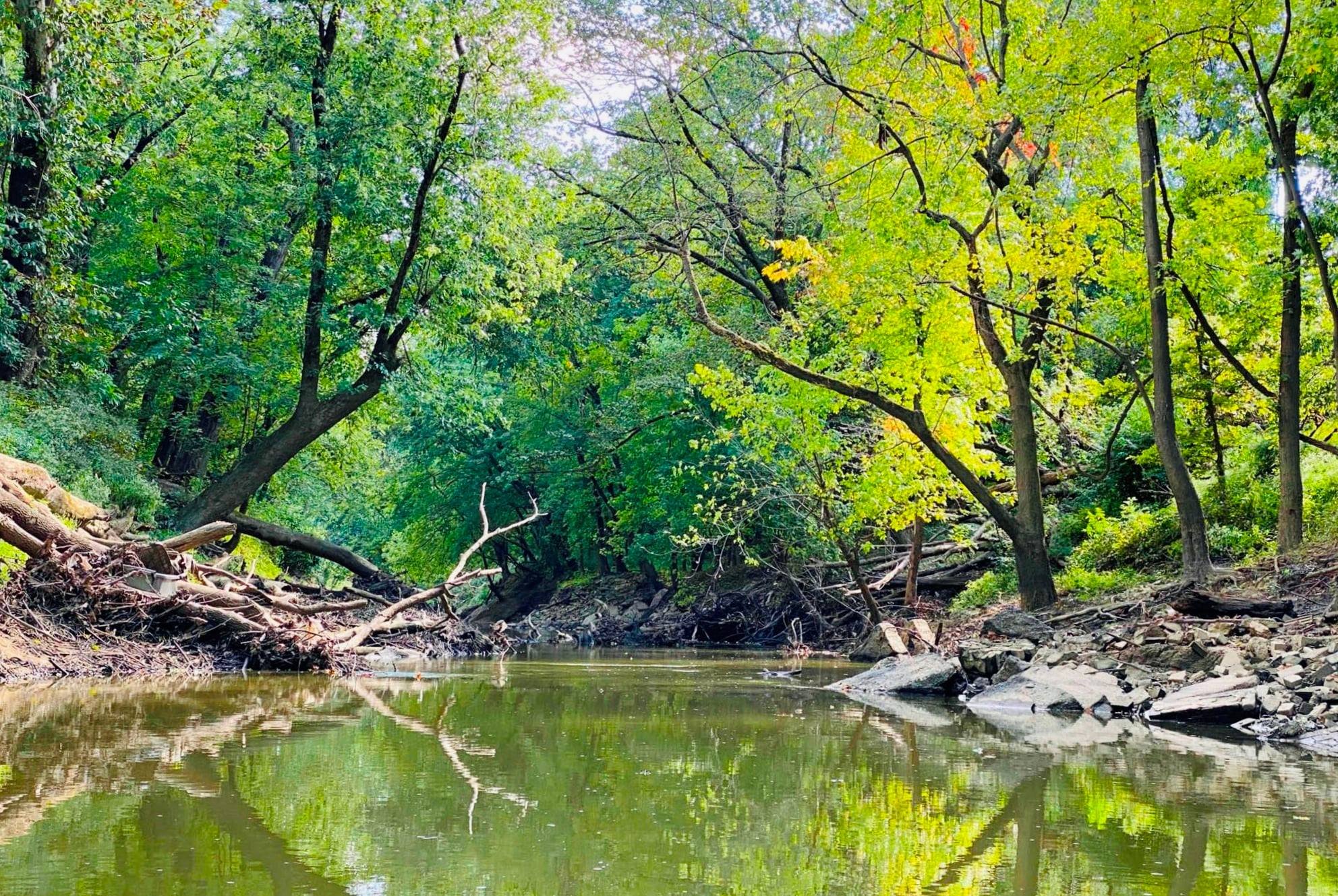
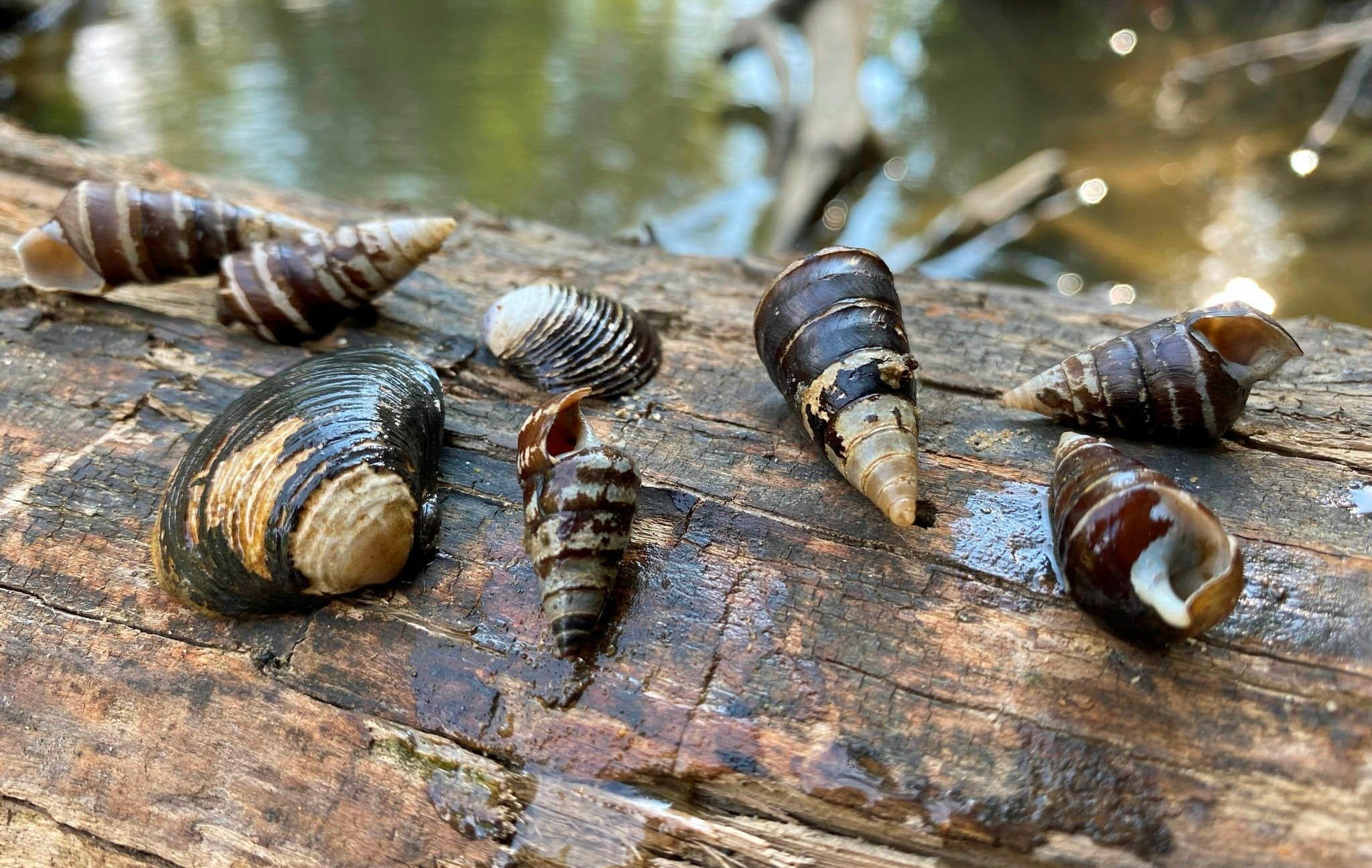
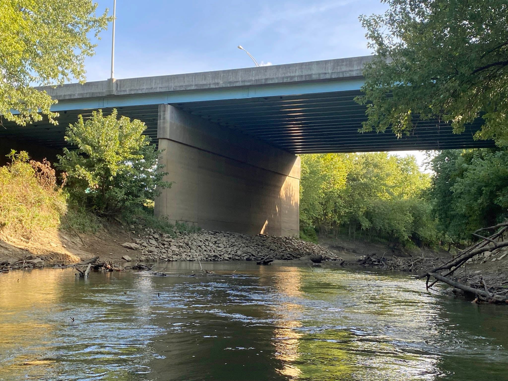
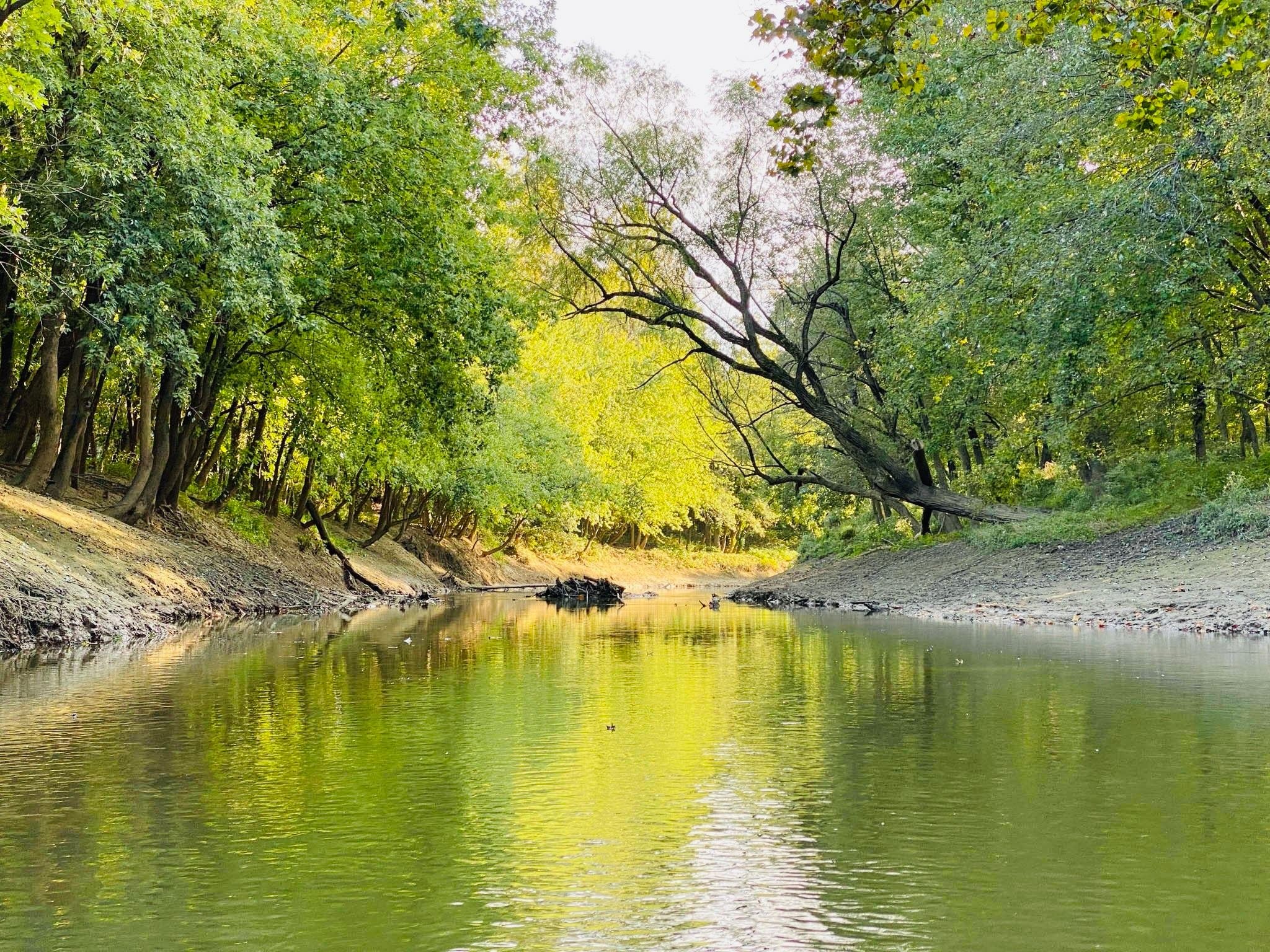
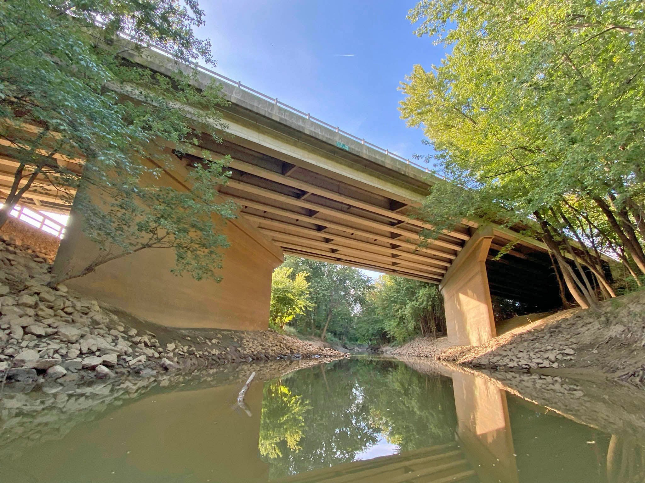
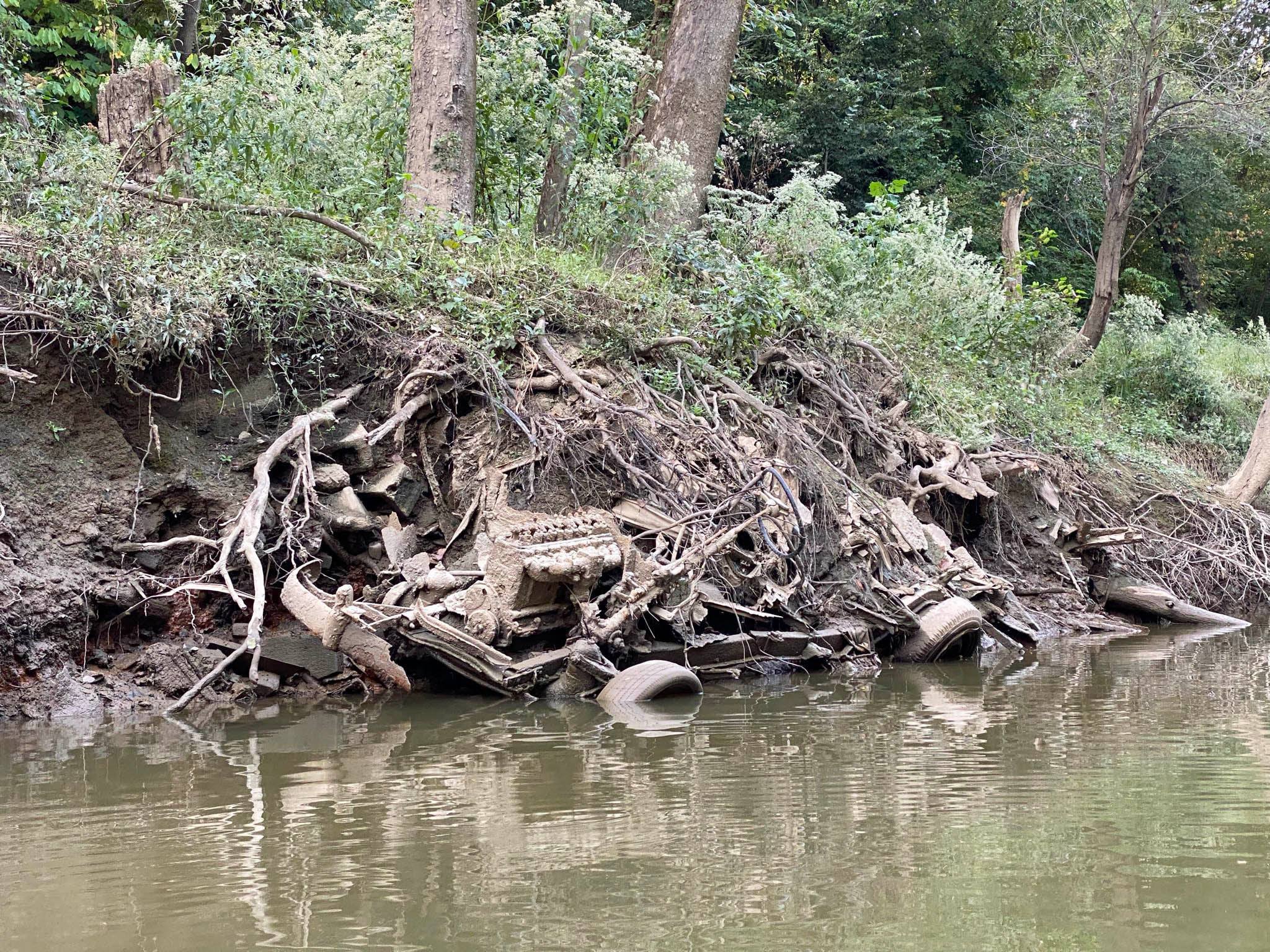
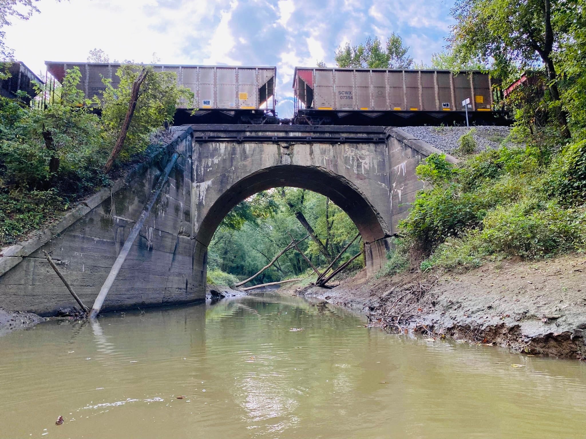
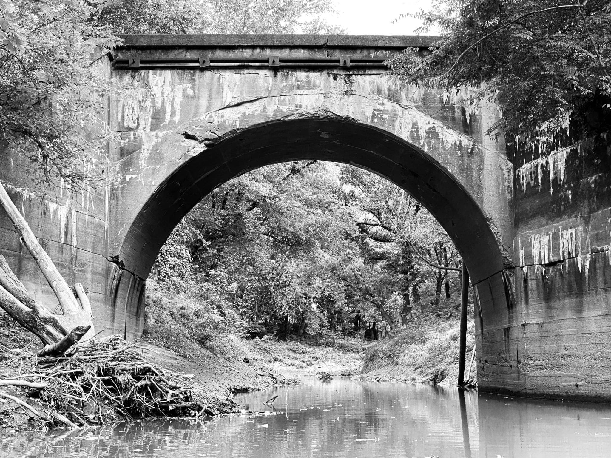
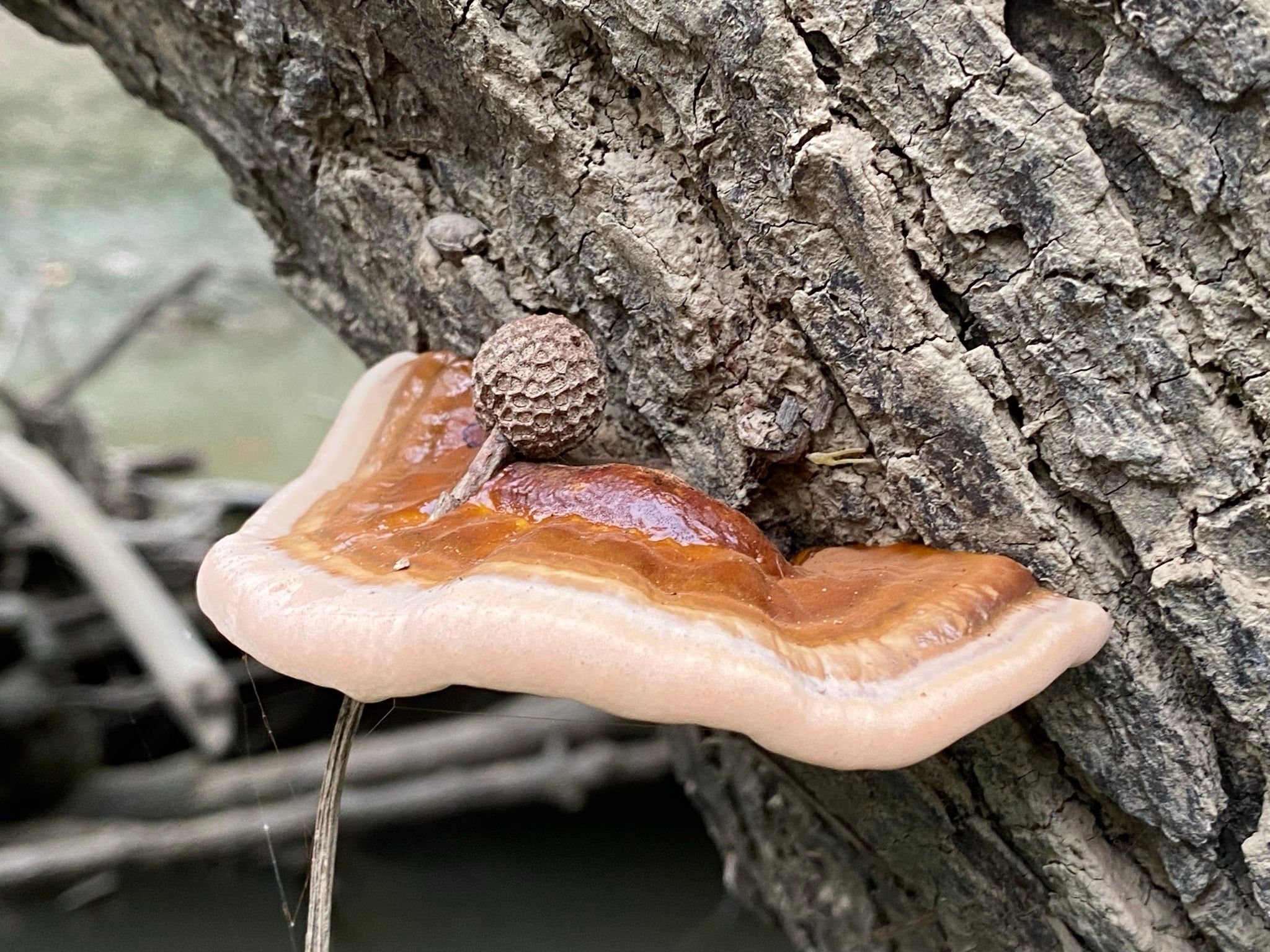
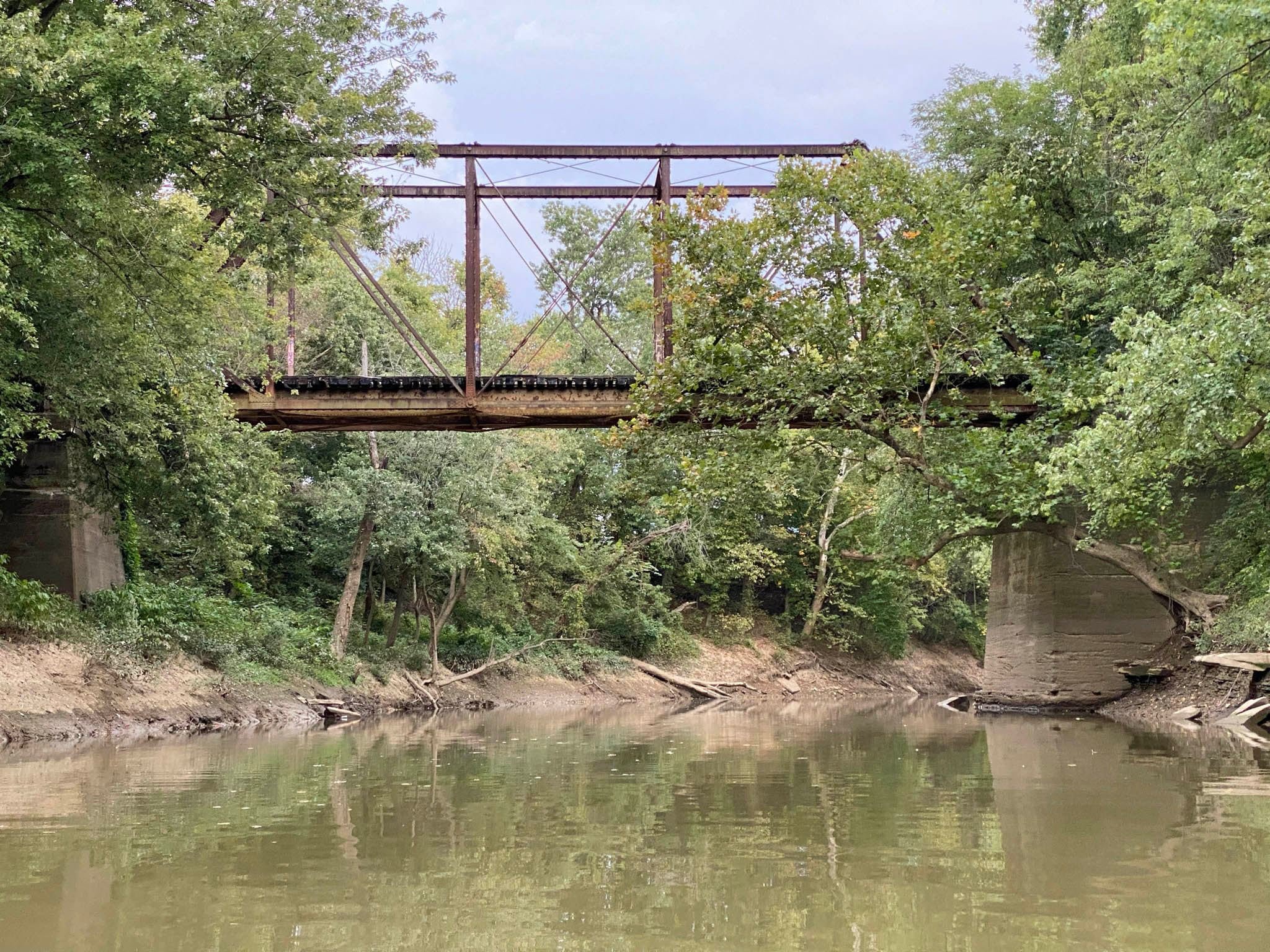
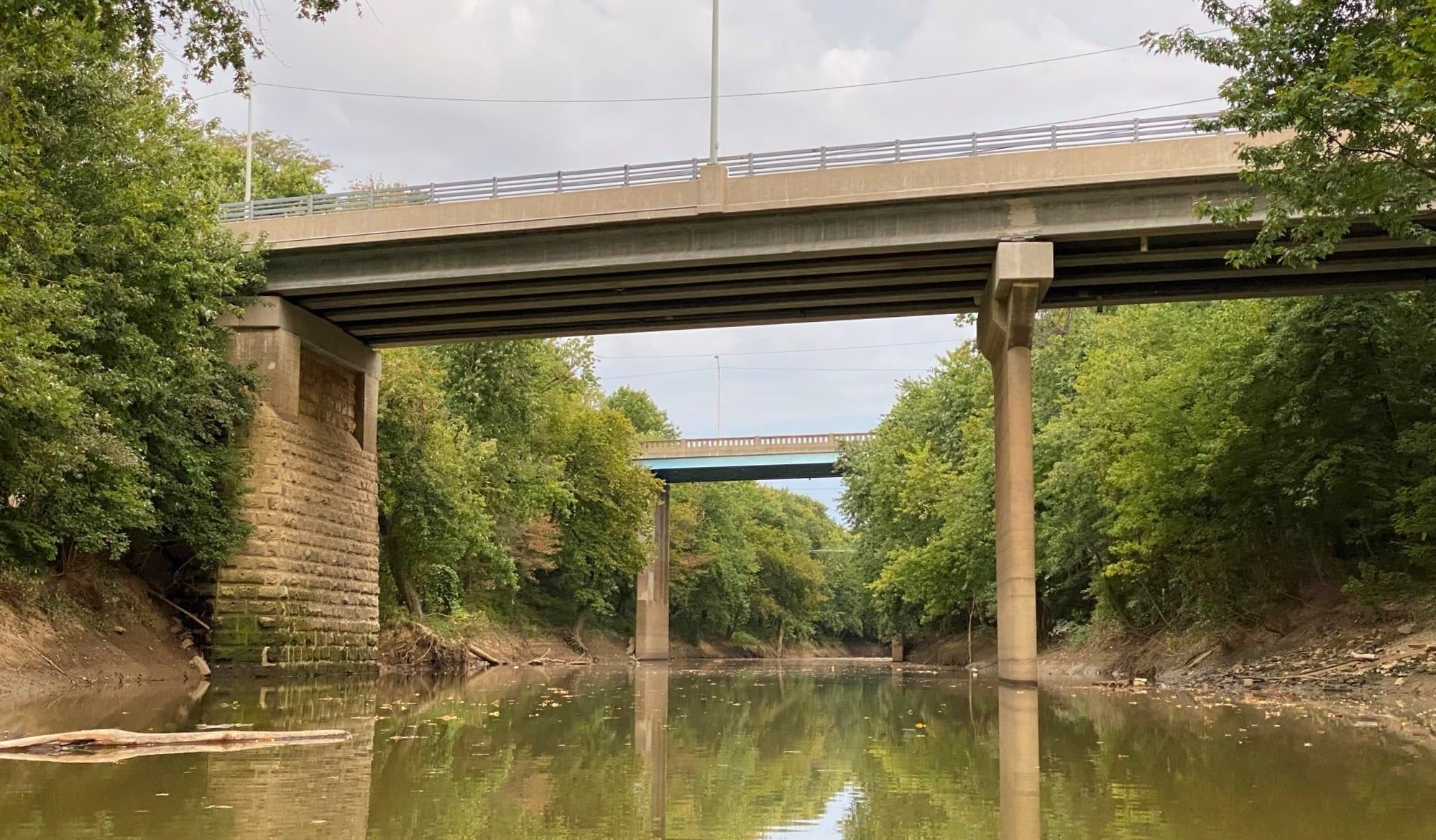
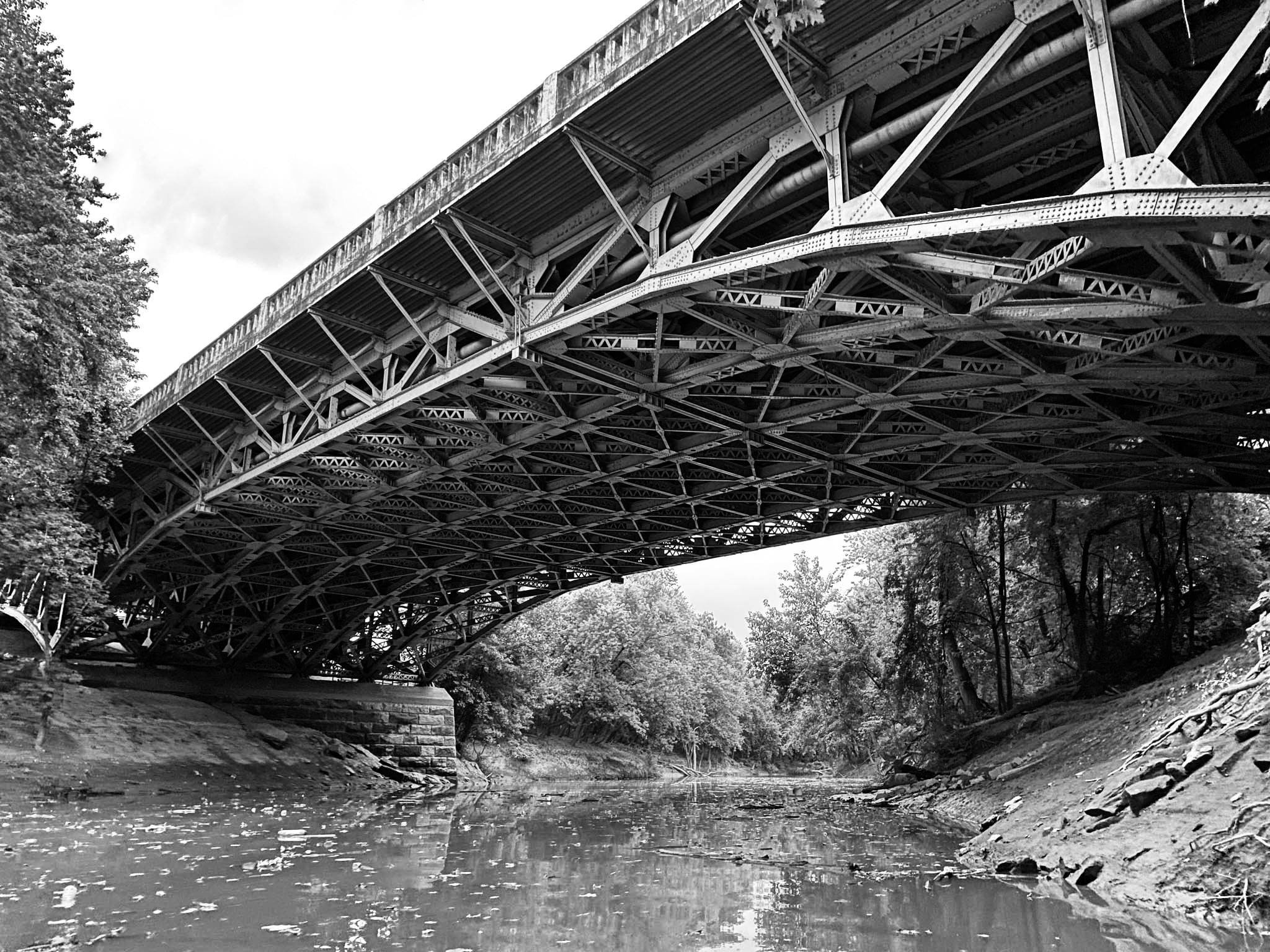
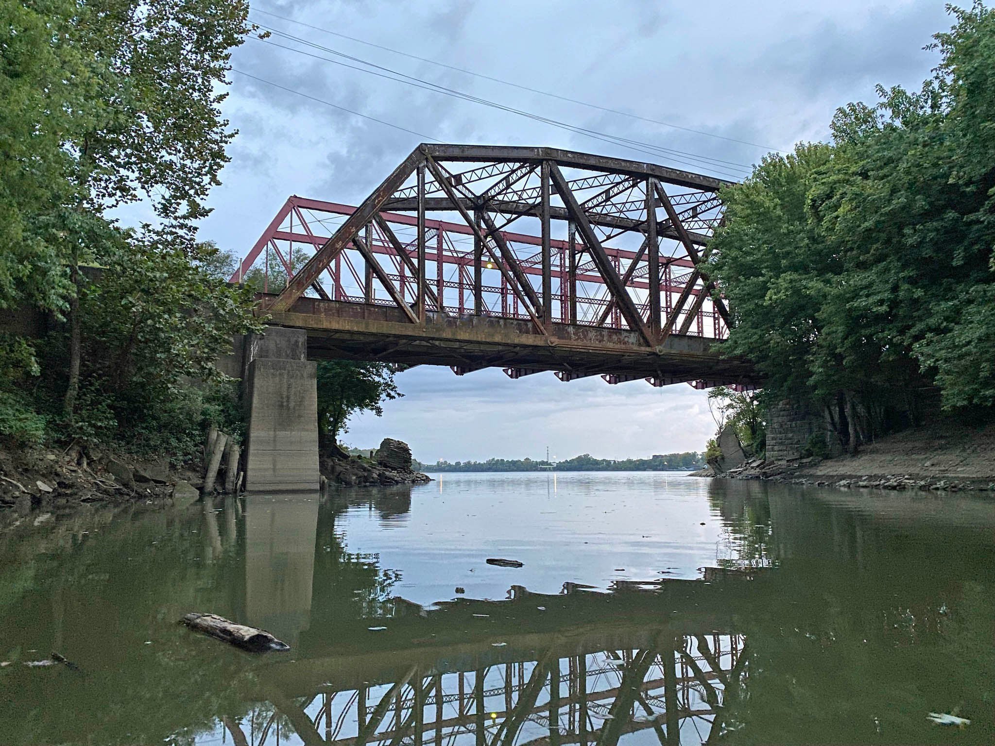
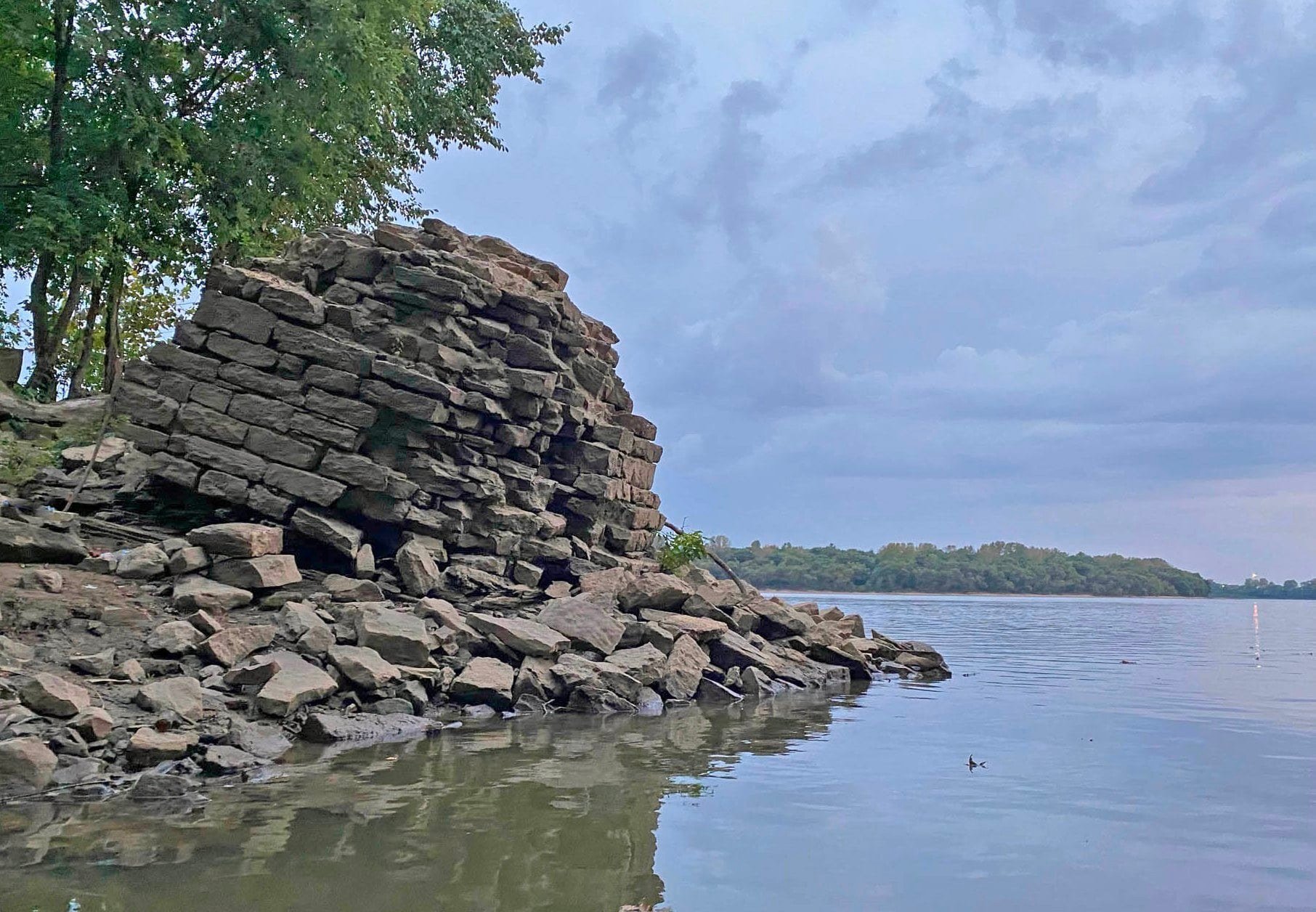
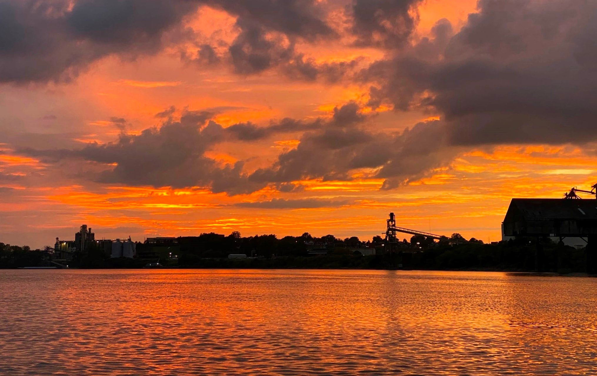
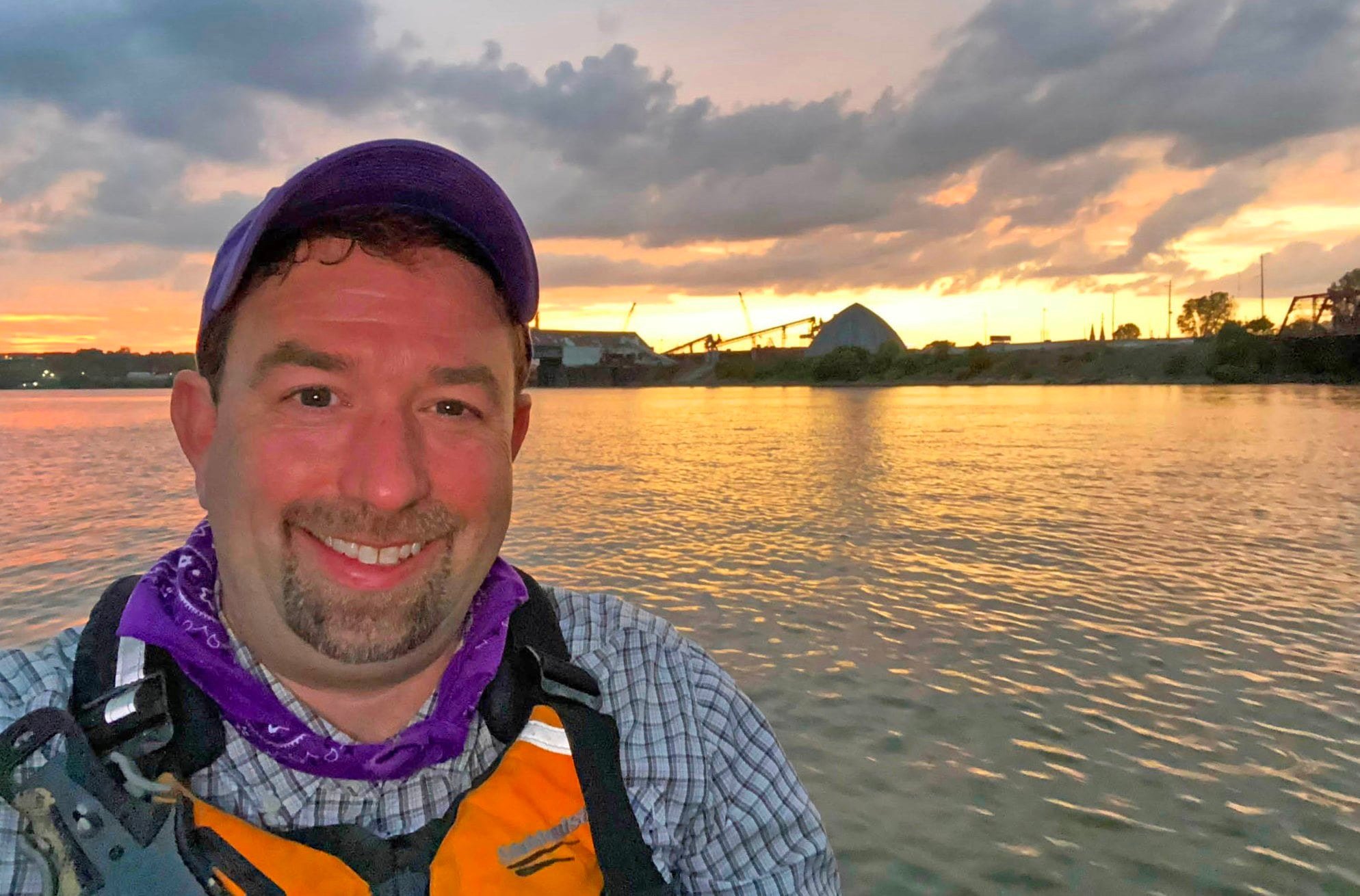
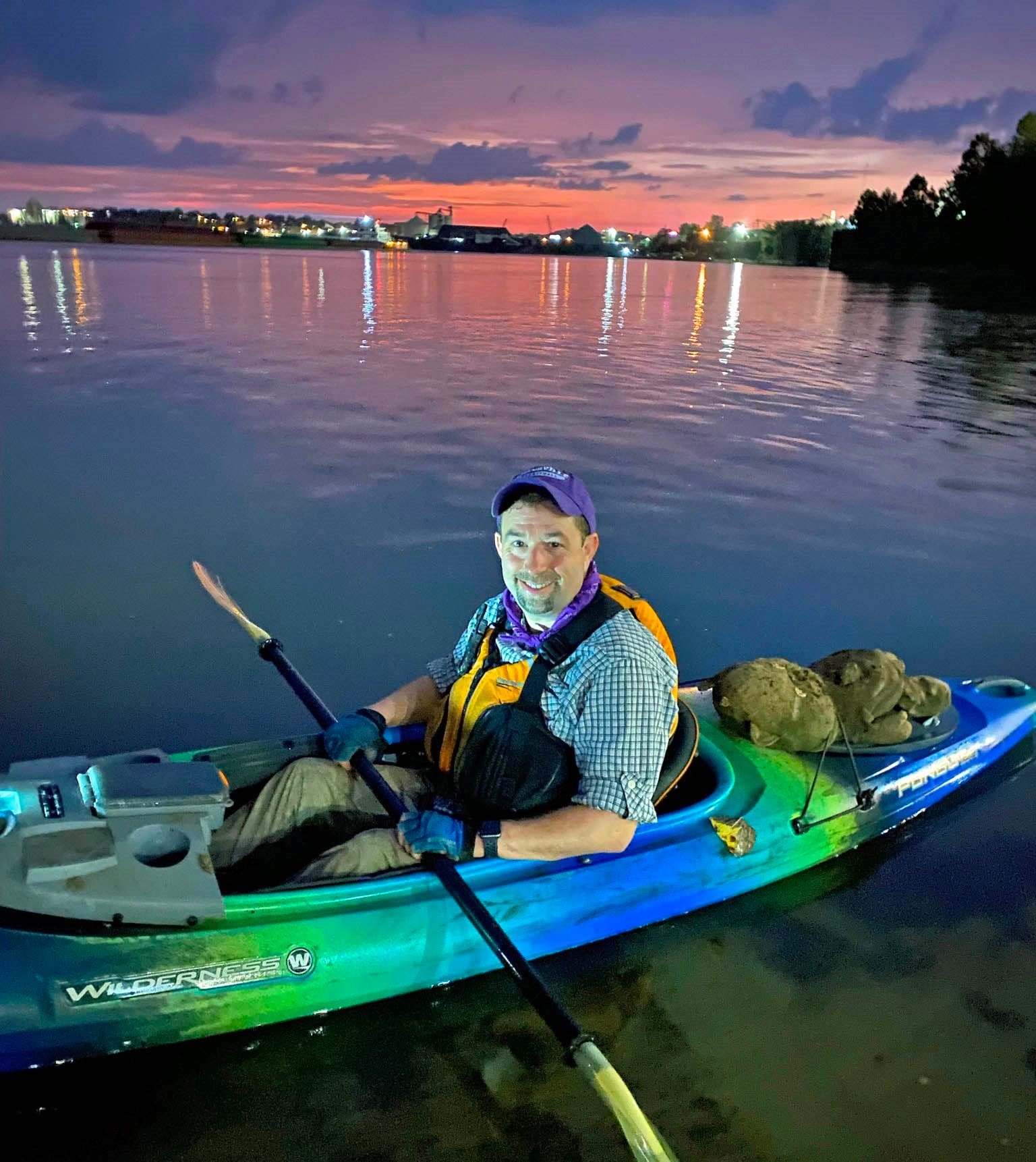
27. Evansville’s Blue Trail - Pigeon Creek
The Pigeon Creek was named after the passenger pigeon long ago before Colonel Harmer marched onward to Vincennes, Indiana in 1787, and Jacob Fowler was tasked to survey the area in 1806.
Two kayak/canoe launches are available in Evansville: 1. Heidelbach Canoe/Kayak Launch, located at 2821 N Heidelbach Ave, Evansville, IN 47711 2. Rotary Canoe/Kayak Launch located at 5621 N Green River Rd, Evansville, IN 47715.
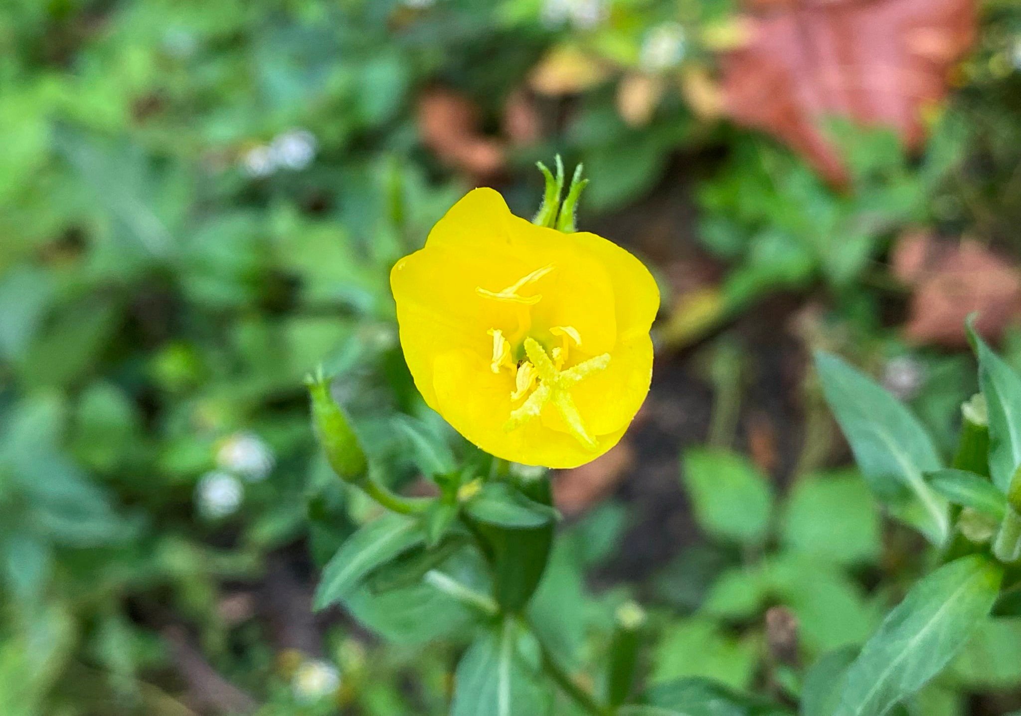
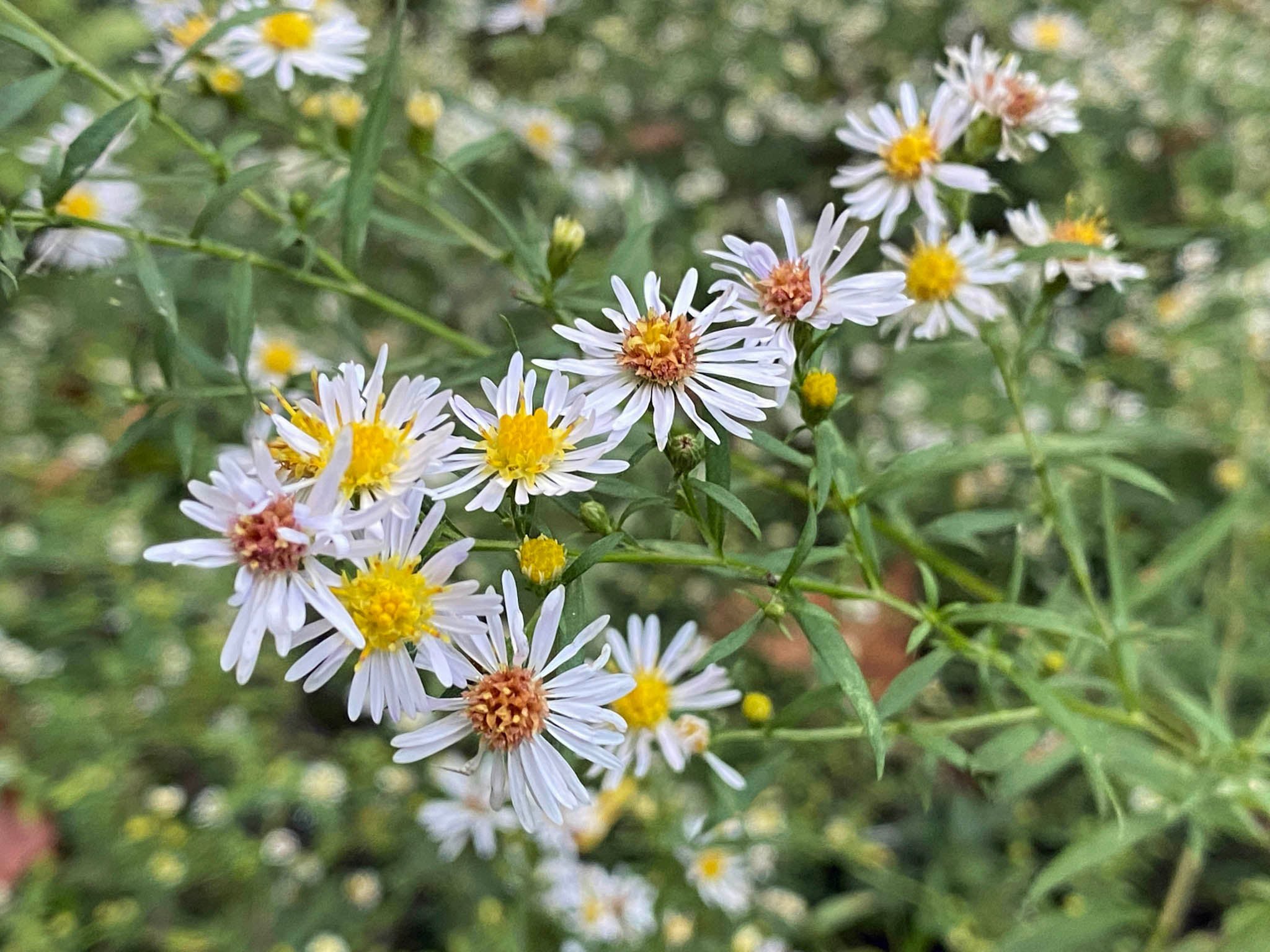
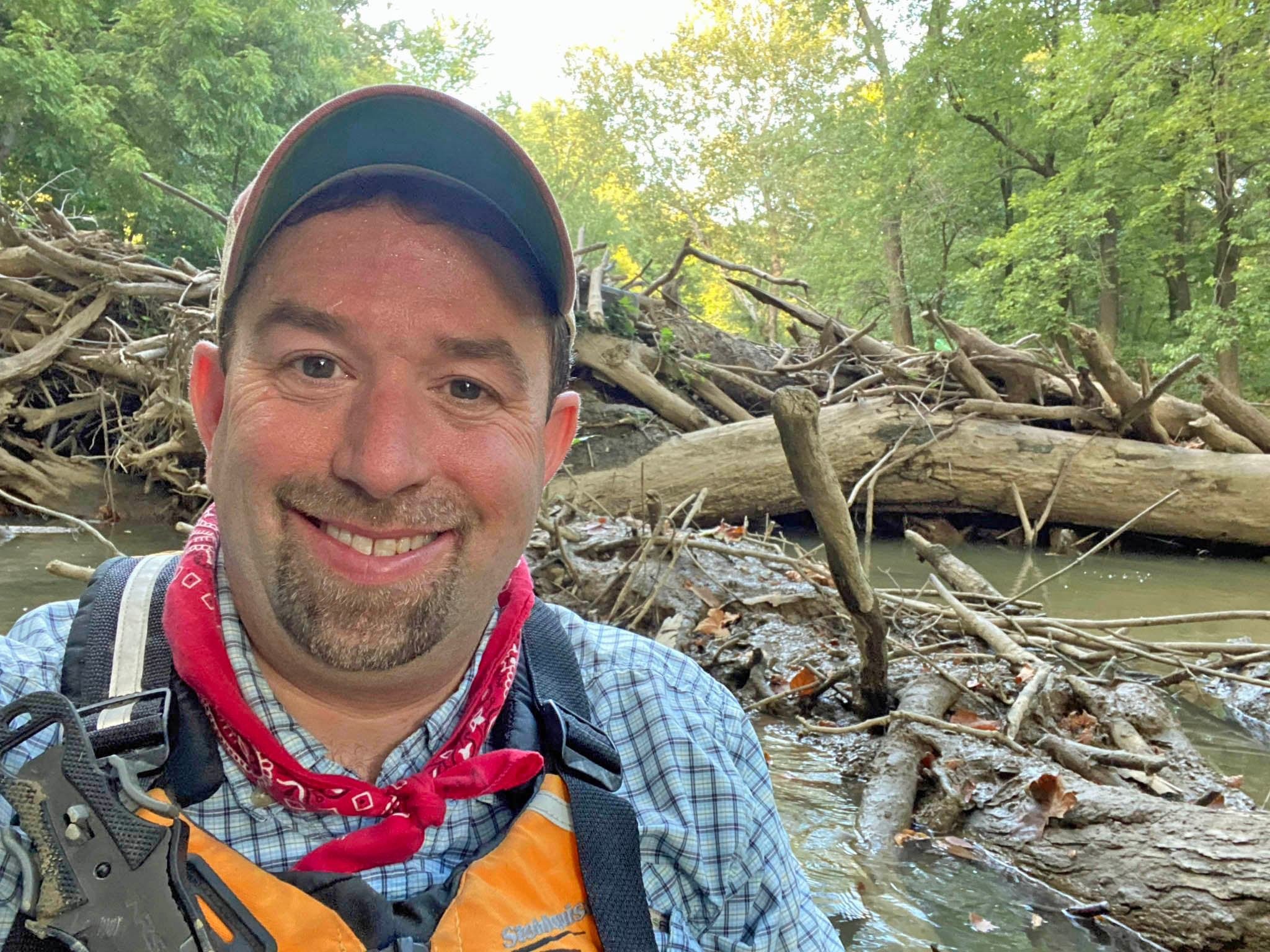
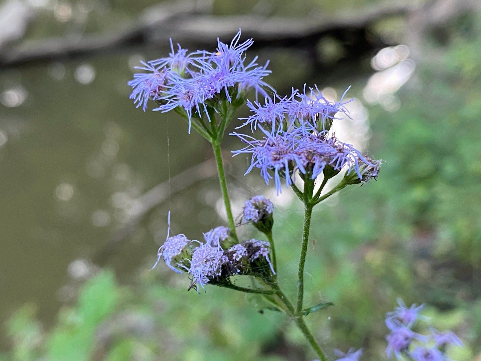
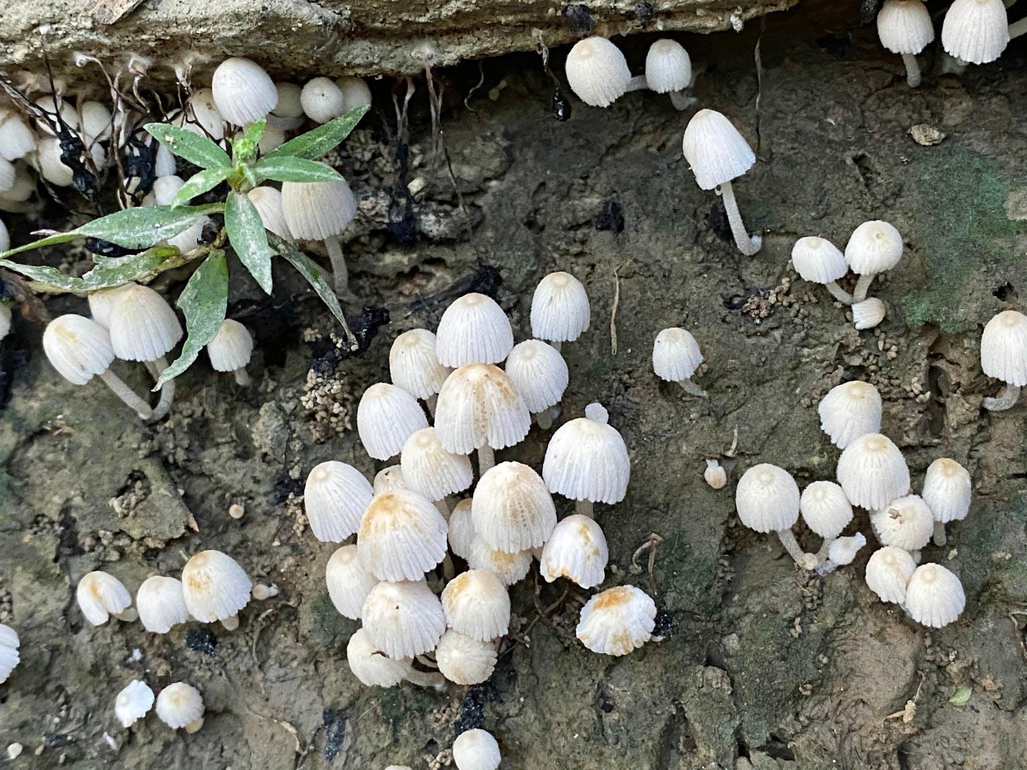
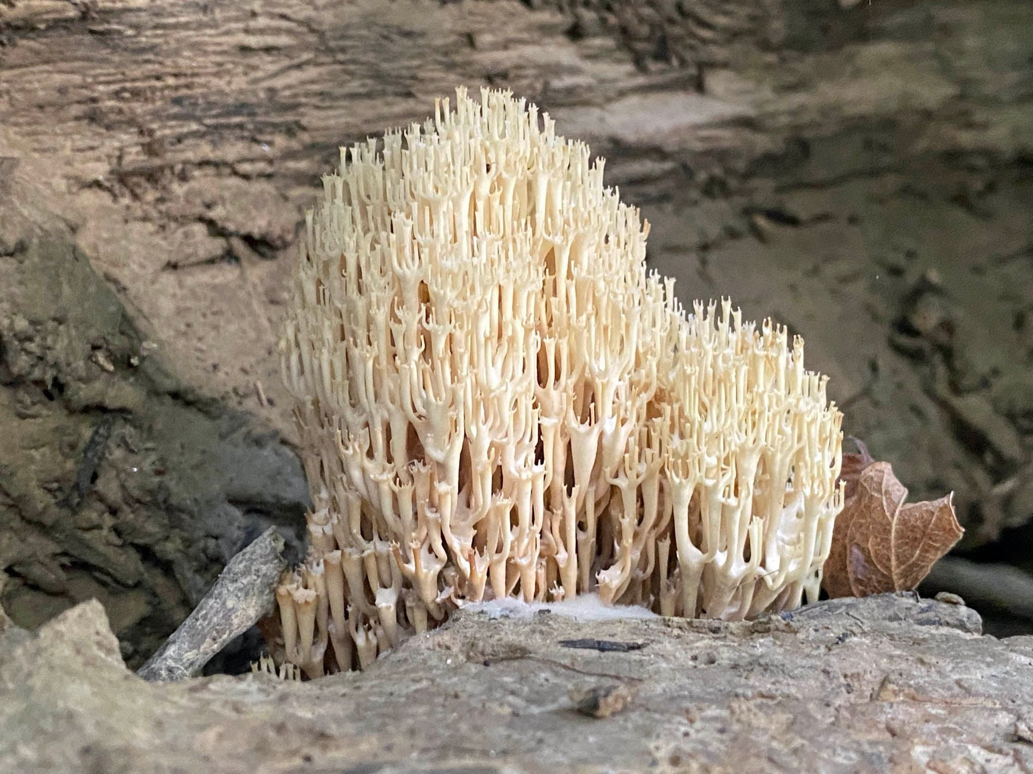
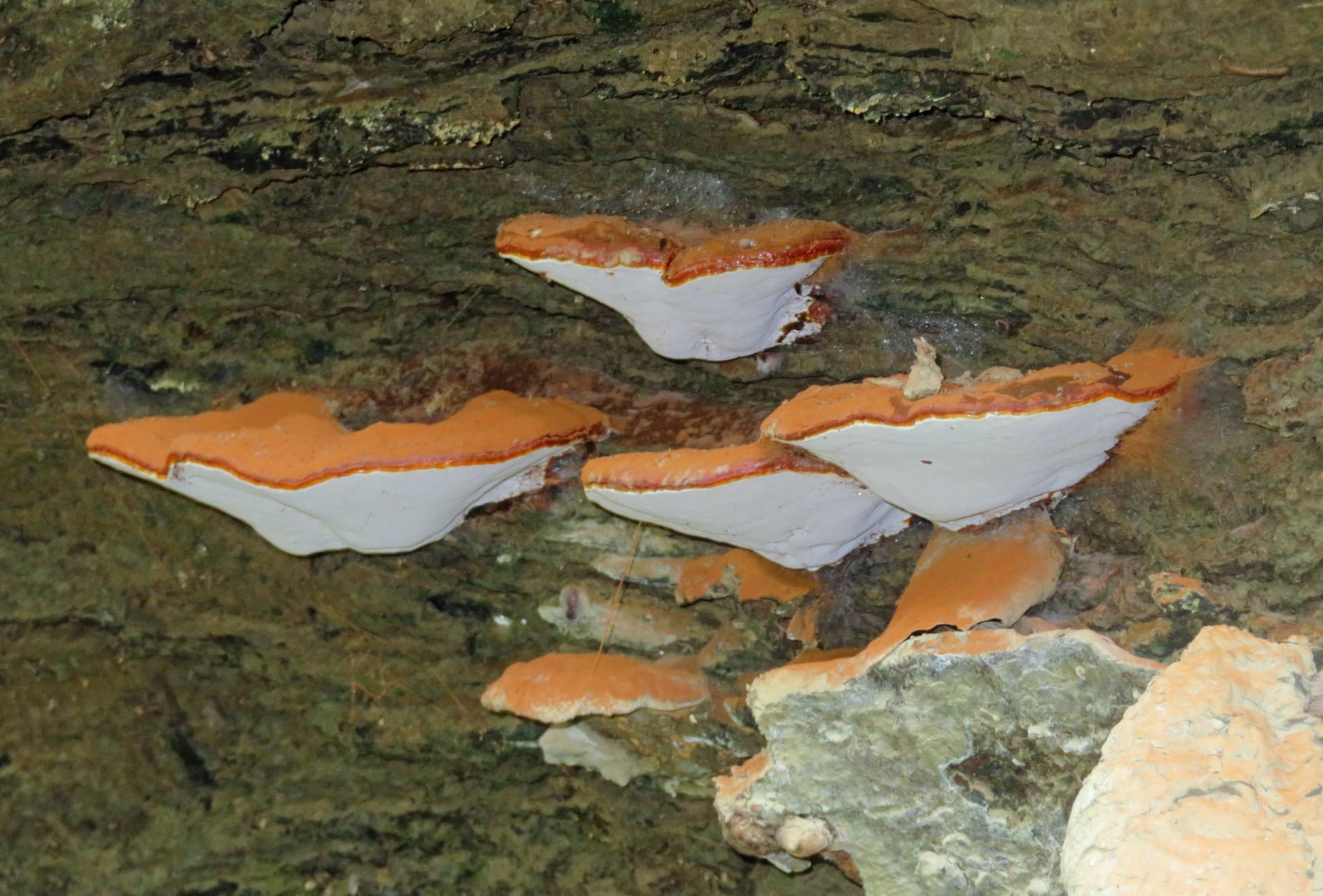
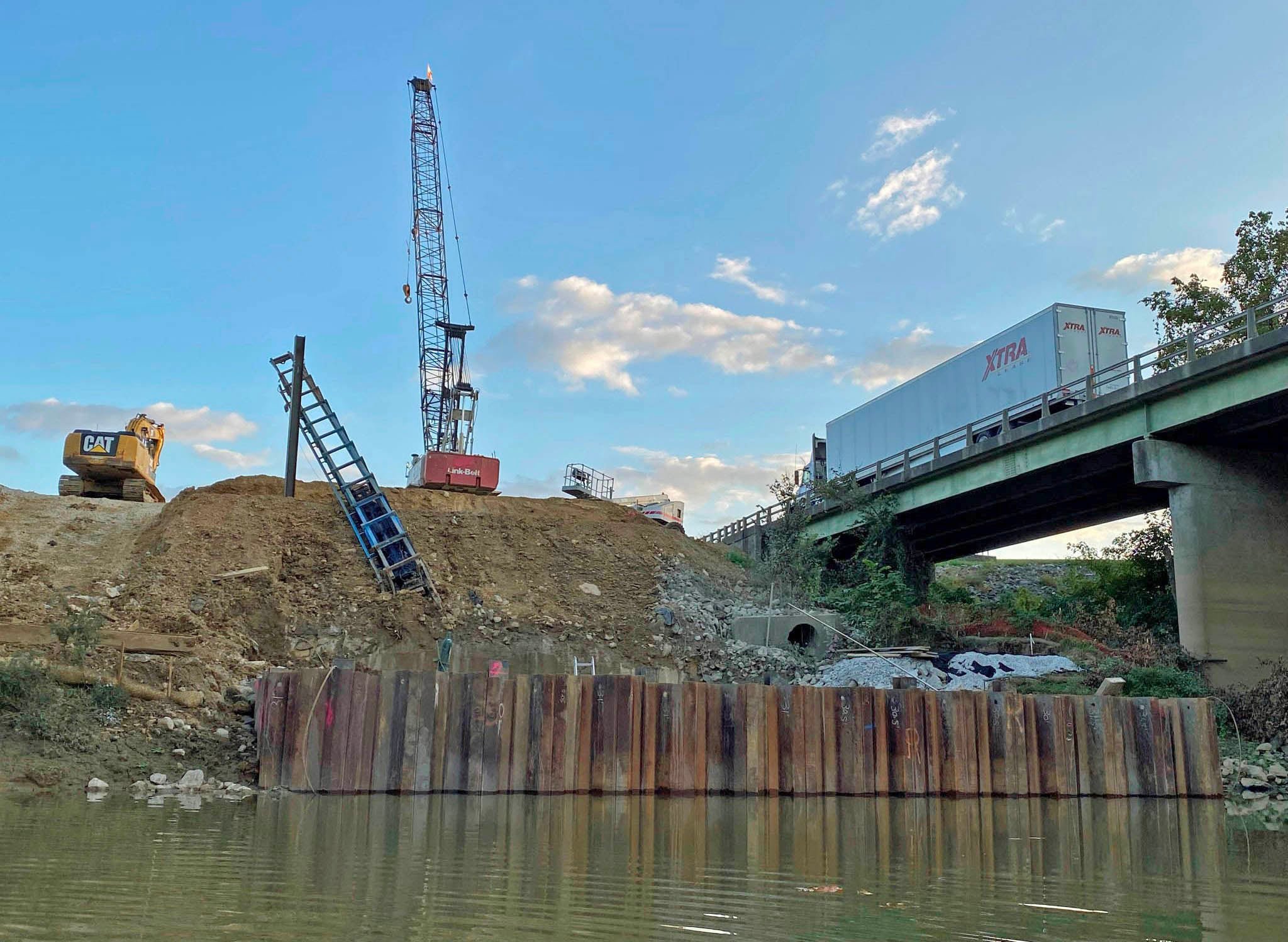
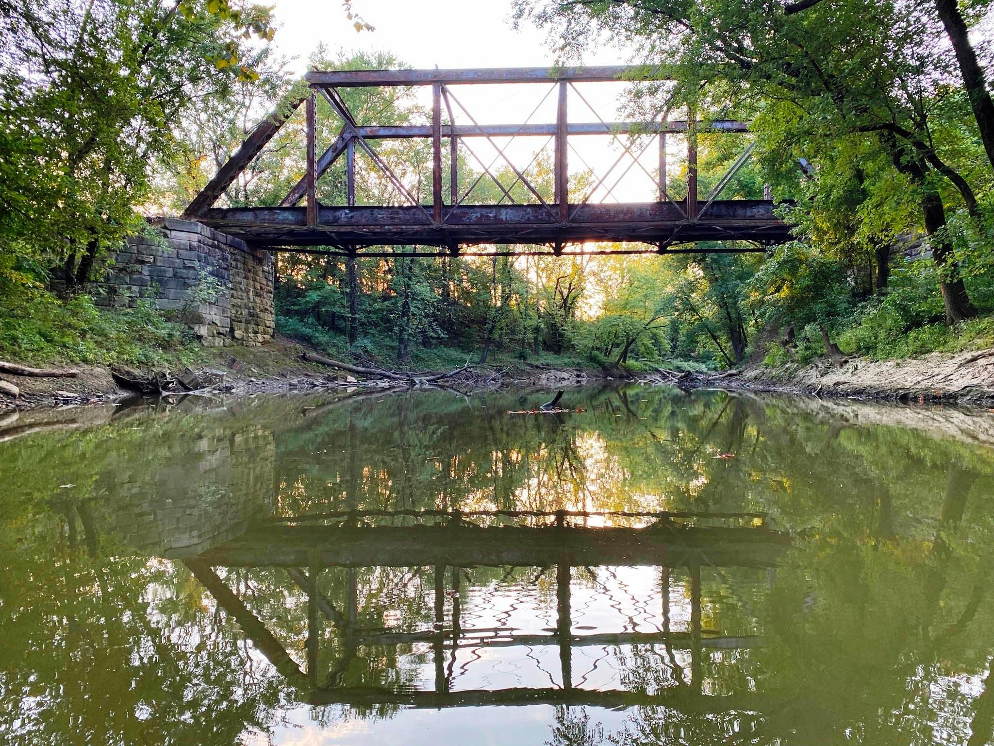
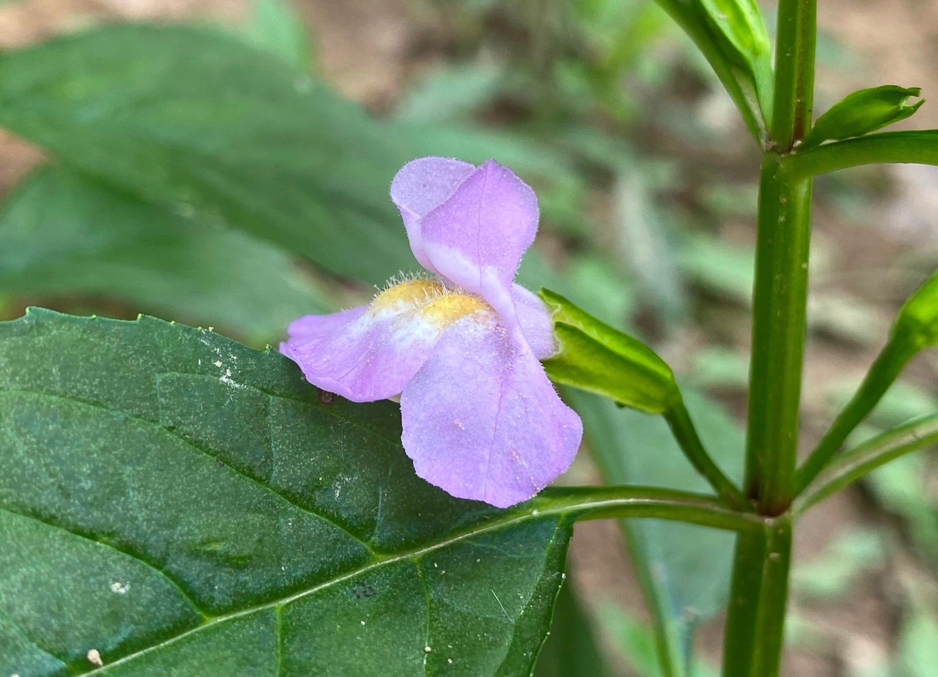
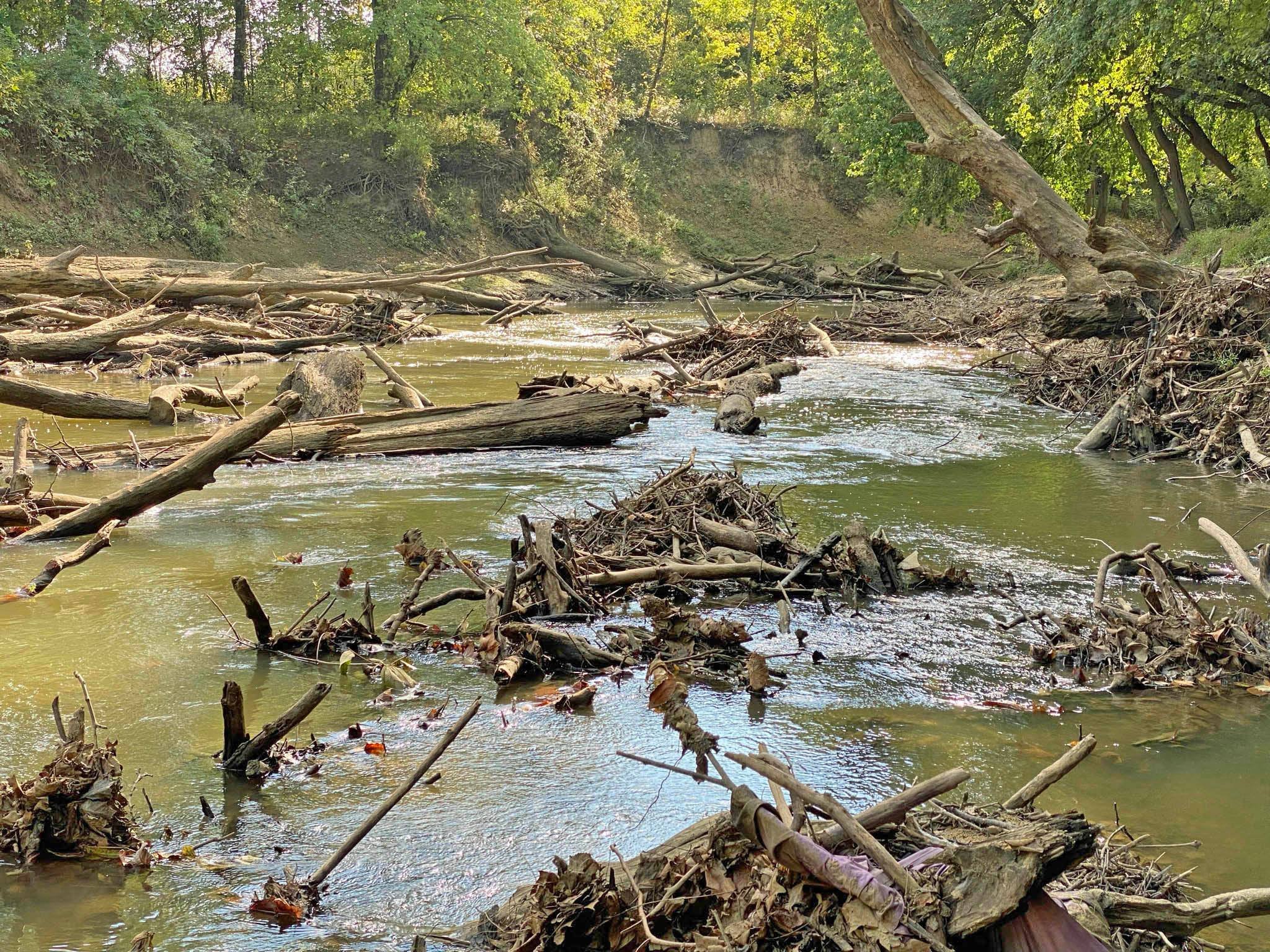
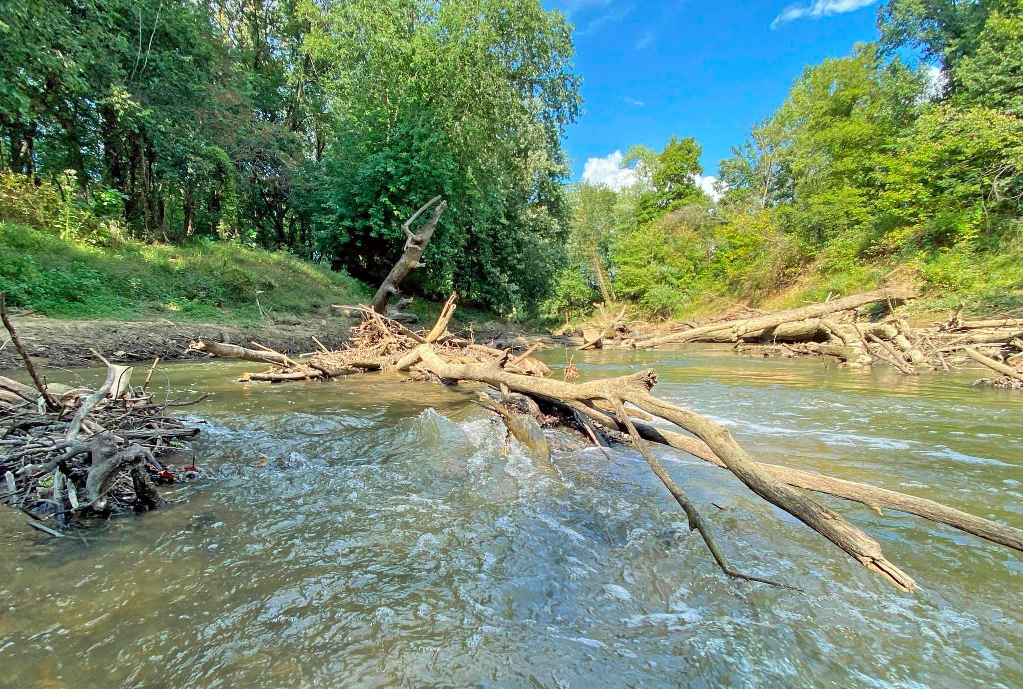
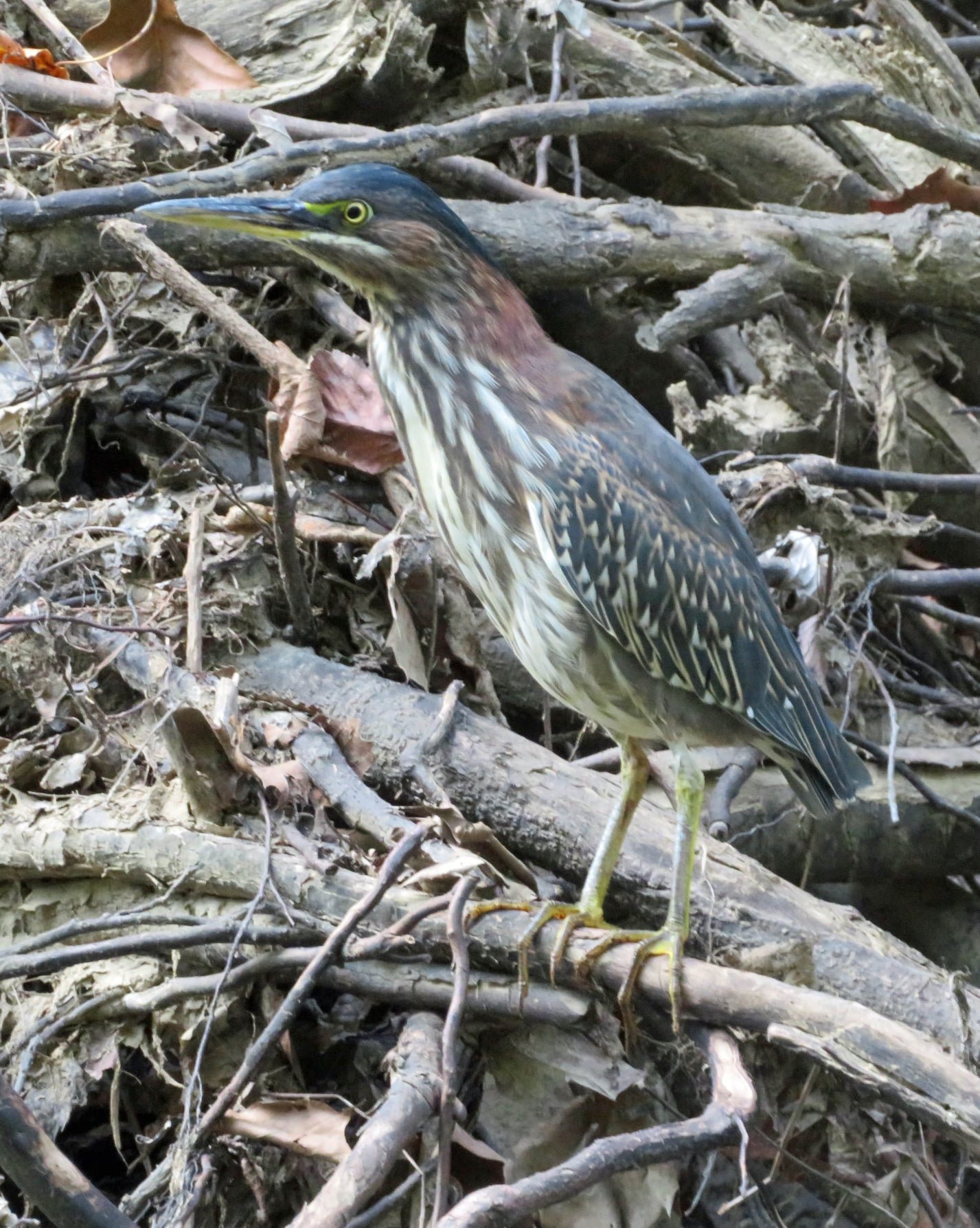
Enjoy the photography by local hiker, and paddler, Mr. Keith Gehlshausen featuring the beautiful landscape and flowers along of the Pigeon Creek!